Ns&t Trail
- 0.6 mi
- round trip
- 10 ft
- climb
- 652 ft
- high point
- Out and back
- route
- Jun–Sep
- best months
The Ns&t Trail is a short, easy out-and-back hike in western New York, about 3 miles from Niagara Falls. The route is roughly a mile long, with a total elevation gain of 10 feet and a high point of about 650 feet. It's a gentle walk that starts and ends at nearly the same elevation, with the trail staying flat throughout. Late spring through early fall is the most comfortable time to go. Typical averages from a nearby weather station in Niagara Falls show highs around 69°F in May and 74°F in September, with July warming to about 82°F. The trail takes about half an hour to complete. It makes an easy pairing with other nearby paths, including the Rotary Storywalk Pathway about a mile away and the Paisley Janvary-Pool Pathway at about 1.4 miles. The Canada 150 Pathway and the Bruce Trail - Niagara Section are both within about 2.5 miles.
- Rotary Storywalk PathwayHiking1 mi
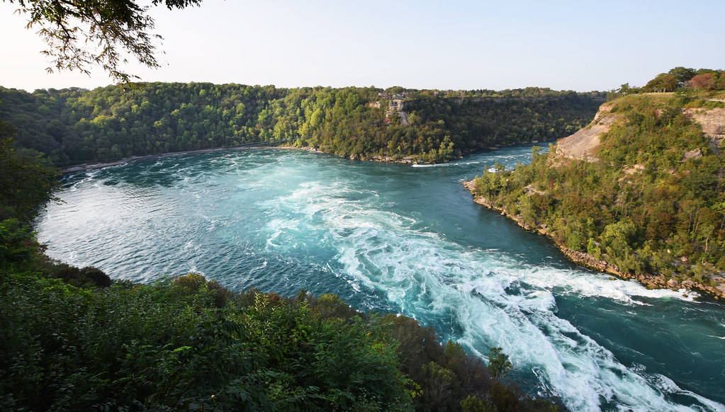 Paisley Janvary-Pool PathwayHikingPhoto: Mark Wordy, CC BY 2.0 (via Flickr)1.4 mi
 Canada 150 PathwayHikingPhoto: calix, CC BY 2.0 (via Flickr)1.6 mi
- Olympic Torch Run Legacy TrailHiking2.5 mi
- Bruce Trail - Niagara SectionHiking2.6 mi
- Garner TrailHiking2.7 mi
 Dr. Henry G. Acres PathwayHikingPhoto: Brian Desrosiers Photography from Fort Erie, Canada, CC BY 2.0 (via Wikimedia Commons)3.5 mi
- Artpark BoulderRock climbing4.9 mi
Source: Roamze catalog (indexable pages within 10 miles, PostGIS distance)
- Paisley Janvary-Pool PathwayHiking · ~2 min drivePhoto: Mark Wordy, CC BY 2.0 (via Flickr)
- Canada 150 PathwayHiking · ~3 min drivePhoto: calix, CC BY 2.0 (via Flickr)
 Laura Secord Legacy TrailHiking · ~13 min drivePhoto: Mustang Joe, Public Domain Dedication (CC0) (via Flickr)
 Upper Canada Heritage TrailHiking · ~16 min drivePhoto: Kenneth A W Gansel, CC BY-SA 4.0 (via Wikimedia Commons)
 Cataract TrailHiking · ~23 min drivePhoto: ethan.gosnell2, CC BY-SA 2.0 (via Flickr)
- Dr. Henry G. Acres PathwayHiking · ~6 min drivePhoto: Brian Desrosiers Photography from Fort Erie, Canada, CC BY 2.0 (via Wikimedia Commons)
- Bruce Trail - Niagara SectionHiking · ~4 min drive
 Erie Canalway Trail (Buffalo Harbor State Park to Hertel Avenue)Hiking · ~38 min drivePhoto: btwashburn, CC BY 2.0 (via Flickr)
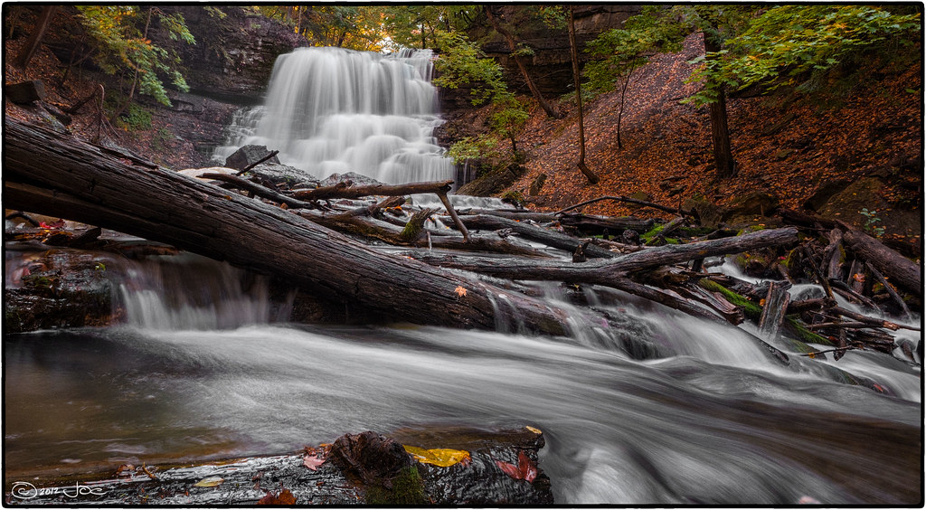 Laura Secord TrailHiking · ~13 min drivePhoto: Mustang Joe, Public Domain Dedication (CC0) (via Flickr)
- Erie Canalway Trail (Hertel Avenue to Tonawanda)Hiking · ~27 min drive
Best time to visit Ns&t Trail
Best months: June–September. Best months have typical highs of 55–85 °F, lows of 30 °F or warmer (32 °F where the station doesn't record snow), at most one snowy day and no more than 12 wet days.
Jan
33° / 19°
18 wet
Feb
35° / 19°
15 wet
Mar
43° / 26°
14 wet
Apr
56° / 36°
13 wet
May
69° / 48°
13 wet
Jun
78° / 58°
11 wet
Jul
82° / 63°
11 wet
Aug
80° / 61°
10 wet
Sep
74° / 54°
10 wet
Oct
61° / 43°
13 wet
Nov
49° / 33°
14 wet
Dec
39° / 25°
16 wet
Typical high / low (°F) and days with rain or snow, 1991–2020. Measured at Niagara Falls, NY, 7.5 mi away at 588 ft. This station doesn't record snowfall. Source: NOAA NCEI U.S. Climate Normals 1991–2020.

Map and trail data © OpenStreetMap contributors
