Cataract Trail
 Photo: ethan.gosnell2, CC BY-SA 2.0 (via Flickr)
- 0.4 mi
- round trip
- 79 ft
- climb
- 525 ft
- high point
- Out and back
- route
- Jun–Sep
- best months
Cataract Trail is a short, out-and-back hike in New York, about 17 miles from Niagara Falls. The route is 0.78 miles long, with a total elevation gain of 79 feet, and it is rated moderate. The trail starts at about 502 feet and reaches a high point of 525 feet before returning to the start. The climb is gentle, with the steepest stretch at about 0.14 miles in, where the grade reaches 7 percent. The whole trip takes about half an hour, so it works well as a quick addition to a day spent exploring the Niagara Falls area. Summer is the most comfortable time to go. Typical averages from a nearby weather station in Niagara Falls show July highs around 82°F with lows near 63°F, while winter highs stay in the low 30s. Several other trails lie within a short drive. Louth Side Trail and Lower Falls Side Trail are each about 2 miles away, and Laura Secord Legacy Trail and Laura Secord Trail are both about 6 miles off.
Best time to go · Jun–Sep
Best time to visit Cataract Trail
Best months: June–September. Best months have typical highs of 55–85 °F, lows of 30 °F or warmer (32 °F where the station doesn't record snow), at most one snowy day and no more than 12 wet days.
Jan
33° / 19°
18 wet
Feb
35° / 19°
15 wet
Mar
43° / 26°
14 wet
Apr
56° / 36°
13 wet
May
69° / 48°
13 wet
Jun
78° / 58°
11 wet
Jul
82° / 63°
11 wet
Aug
80° / 61°
10 wet
Sep
74° / 54°
10 wet
Oct
61° / 43°
13 wet
Nov
49° / 33°
14 wet
Dec
39° / 25°
16 wet
Typical high / low (°F) and days with rain or snow, 1991–2020. Measured at Niagara Falls, NY, 21.1 mi away at 588 ft. This station doesn't record snowfall. Source: NOAA NCEI U.S. Climate Normals 1991–2020.
Keep exploring — more trails worth the drive
 Photo: Mustang Joe, Public Domain Dedication (CC0) (via Flickr)
Laura Secord Legacy Trail
~10 min drive
A 15.12-mile point-to-point trail in New York connected to the Welland Trail system, ideal for hikers seeking a substantial backcountry route.
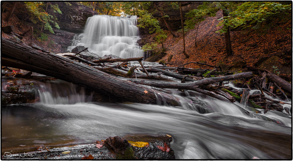 Photo: Mustang Joe, Public Domain Dedication (CC0) (via Flickr)
Laura Secord Trail
~10 min drive
A short loop trail in New York that links into the Bruce Trail system.
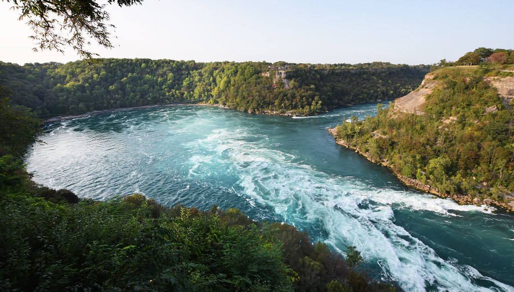 Photo: Mark Wordy, CC BY 2.0 (via Flickr)
Paisley Janvary-Pool Pathway
~26 min drive
A moderate 0.84-mile paved lollipop trail in New York that connects to multiple regional pathways for extended hiking opportunities.
 Photo: Kenneth A W Gansel, CC BY-SA 4.0 (via Wikimedia Commons)
Upper Canada Heritage Trail
~30 min drive
An out-and-back trail, 0.7 miles each way (1.3 miles round trip) in Ontario, Canada.
HIKE
Bruce Trail - Niagara Section
~22 min drive
A demanding 49-mile point-to-point trail in New York's Niagara region, perfect for experienced hikers seeking a serious backcountry challenge.
 Photo: Paul B0udreau, CC BY 2.0 (via Flickr)
Forty Mile Creek Trail
~17 min drive
1.82-mile point-to-point trail in New York with 95 ft gain and 263 ft loss
 Photo: the-road-is-life, CC BY-SA 2.0 (via Flickr)
Dofasco 2000 Trail
~33 min drive
A 5.88-mile boardwalk point-to-point trail in New York connecting multiple conservation areas and wildlife sanctuaries within the Bruce Trail system.
 Photo: Doug Kerr from Albany, NY, United States, CC BY-SA 2.0 (via Wikimedia Commons)
Red Hill Valley Trail
~37 min drive
An out-and-back trail, 0.6 miles each way (1.3 miles round trip) in Ontario, Canada.
HIKE
Bruce Trail - Iroquoia Section
~33 min drive
A 74.92-mile point-to-point section of the Bruce Trail in New York that connects with the Ian Reid Side Trail, South Bridle Trail, and Grindstone Marshes Trail.
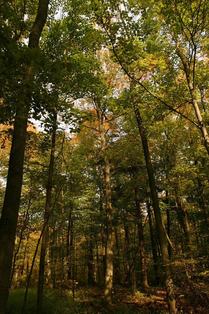 Photo: Martin Cathrae, CC BY-SA 2.0 (via Flickr)
Bruce Trail Side Trails - Iroquoia Section
~18 min drive
0.50-mile point-to-point trail in New York with 24 ft gain and 145 ft loss.


Map and trail data © OpenStreetMap contributors
