Nike Base Trails - Yellow Trail
- 0.4 mi
- one way
- 594 ft
- high point
- Point to point
- route
- Easy
- difficulty
- Jun–Sep
- best months
Nike Base Trails - Yellow Trail is an easy, flat hike on Town Of Grand Island Land in New York, about 1.5 miles from the town of Sheenwater. The trail is a short point-to-point route of about 0.4 miles, with no elevation gain and only a slight drop of 34 feet along the way. It makes a quick outing for anyone exploring the Nike Base Trails network. Summer is the warmest stretch. Typical averages from a nearby weather station in Niagara Falls run to highs around 82°F in July, while September cools to about 74°F with lows near 54°F. Dogs are allowed on this trail, and they must be leashed. The Orange Trail lies about 0.3 miles away, and the Nike Base - White Trail and Loop Trail are both about 0.7 miles off. For a longer walk, Scenic Woods Trails sits roughly 4.7 miles away.
Best time to go · Jun–Sep
Best time to visit Nike Base Trails - Yellow Trail
Best months: June–September. Best months have typical highs of 55–85 °F, lows of 30 °F or warmer (32 °F where the station doesn't record snow), at most one snowy day and no more than 12 wet days.
Jan
33° / 19°
18 wet
Feb
35° / 19°
15 wet
Mar
43° / 26°
14 wet
Apr
56° / 36°
13 wet
May
69° / 48°
13 wet
Jun
78° / 58°
11 wet
Jul
82° / 63°
11 wet
Aug
80° / 61°
10 wet
Sep
74° / 54°
10 wet
Oct
61° / 43°
13 wet
Nov
49° / 33°
14 wet
Dec
39° / 25°
16 wet
Typical high / low (°F) and days with rain or snow, 1991–2020. Measured at Niagara Falls, NY, 5.2 mi away at 588 ft. This station doesn't record snowfall. Source: NOAA NCEI U.S. Climate Normals 1991–2020.
Keep exploring — more trails worth the drive
 Photo: Brian Desrosiers Photography from Fort Erie, Canada, CC BY 2.0 (via Wikimedia Commons)
Dr. Henry G. Acres Pathway
~10 min drive
A 0.71-mile out-and-back trail in New York that connects to the Millennium Recreational Trail system.
 Photo: Mark Wordy, CC BY 2.0 (via Flickr)
Paisley Janvary-Pool Pathway
~13 min drive
A moderate 0.84-mile paved lollipop trail in New York that connects to multiple regional pathways for extended hiking opportunities.
 Photo: Mustang Joe, Public Domain Dedication (CC0) (via Flickr)
Laura Secord Legacy Trail
~25 min drive
A 15.12-mile point-to-point trail in New York connected to the Welland Trail system, ideal for hikers seeking a substantial backcountry route.
 Photo: Kenneth A W Gansel, CC BY-SA 4.0 (via Wikimedia Commons)
Upper Canada Heritage Trail
~27 min drive
An out-and-back trail, 0.7 miles each way (1.3 miles round trip) in Ontario, Canada.
 Photo: calix, CC BY 2.0 (via Flickr)
Canada 150 Pathway
~12 min drive
1.28-mile out-and-back trail in New York with 106 ft of elevation gain
 Photo: btwashburn, CC BY 2.0 (via Flickr)
Erie Canalway Trail (Buffalo Harbor State Park to Hertel Avenue)
~24 min drive
7.98-mile point-to-point trail from Buffalo Harbor State Park to Hertel Avenue
HIKE
Bruce Trail - Niagara Section
~18 min drive
A demanding 49-mile point-to-point trail in New York's Niagara region, perfect for experienced hikers seeking a serious backcountry challenge.
 Photo: U. S. Fish and Wildlife Service - Northeast Region, Public domain (via Wikimedia Commons)
North Tonawanda Canalway Trail
~16 min drive
Easy waterfront out-and-back walk along the historic Erie Canal.
 Photo: ethan.gosnell2, CC BY-SA 2.0 (via Flickr)
Cataract Trail
~35 min drive
A moderate 0.39-mile out-and-back trail in New York that connects to a network of nearby hiking routes.
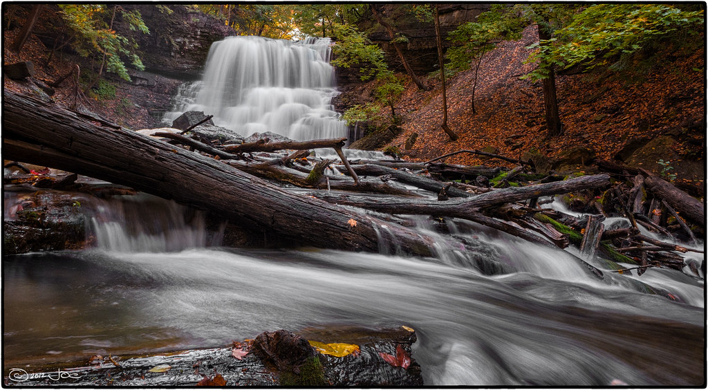 Photo: Mustang Joe, Public Domain Dedication (CC0) (via Flickr)
Laura Secord Trail
~25 min drive
A short loop trail in New York that links into the Bruce Trail system.

Map and trail data © OpenStreetMap contributors
