Moore Trail
- 2.0 mi
- one way
- 81 ft
- climb
- 1,584 ft
- high point
- Point to point
- route
- Aug–Sep
- best months
Caution today
Weather is marginal · OpenWeather · checked 15 min ago
Moore Trail is a short, easy hike in New York, about 0.2 miles from the village of Wanakena. The route is a point-to-point walk of roughly 2 miles, with a total elevation gain of 81 feet from a starting point around 1,516 feet to a high of about 1,584 feet. The climb is gentle, with the steepest stretch at about 0.26 miles in, where the grade reaches 9 percent. Summer is the most comfortable time to go. Typical averages from a nearby weather station in Wanakena show July highs around 79°F with lows near 55°F, while winter highs stay in the 20s. The trip takes about half an hour, so it works well as a quick outing. Dead Creek Flow Trail lies about 2.3 miles away, and Cat Mountain Trail is about 3.3 miles off. Cranberry Lake 50 Loop Trail and the Oswegatchie River, a canoeing route, are both within about 5 miles.
Local outfitters
- Great Camp Sagamore29 mi away
- Cloudsplitter Outfitters41 mi away
Not on Roamze yet. Their page has how to reach them.
- Dead Creek Flow TrailHiking2.3 mi
- Cat Mountain TrailHiking3.3 mi
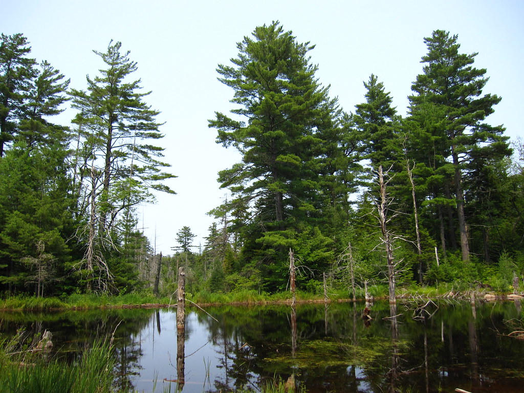 Cranberry Lake 50 Loop TrailHikingPhoto: cm195902, CC BY 2.0 (via Flickr)4 mi
 Peavine Swamp Ski Trail - Loop 2HikingPhoto: Tony Webster, CC BY-SA 2.0 (via Flickr)4.3 mi
- Big Deer Pond TrailHiking4.5 mi
 Oswegatchie RiverCanoeingPhoto: Mwanner, CC BY-SA 3.0 (via Wikimedia Commons)4.7 mi
- Peavine Swamp Ski Trail - Loop 1HikingPhoto: Tony Webster, CC BY-SA 2.0 (via Flickr)5.5 mi
- Darning Needle Pond TrailHiking6.5 mi
Source: Roamze catalog (indexable pages within 10 miles, PostGIS distance)
- Cranberry Lake 50 Loop TrailHiking · ~7 min drivePhoto: cm195902, CC BY 2.0 (via Flickr)
- Peavine Swamp Ski Trail - Loop 2Hiking · ~7 min drivePhoto: Tony Webster, CC BY-SA 2.0 (via Flickr)
 Campground TrailHiking · ~12 min drivePhoto: Tony Webster, CC BY 2.0 (via Flickr)
- Norridgewock TrailHiking · ~35 min drive
- Peavine Swamp Ski Trail - Loop 1Hiking · ~9 min drivePhoto: Tony Webster, CC BY-SA 2.0 (via Flickr)
 Aldrich Pond Wilderness TrailHiking · ~14 min drivePhoto: Andy Arthur, CC BY 2.0 (via Wikimedia Commons)
- Bear Mountain TrailHiking · ~12 min drivePhoto: Tony Webster, CC BY 2.0 (via Flickr)
 Cascade Lake TrailHiking · ~42 min drivePhoto: John Brighenti from Rockville, MD, United States, CC BY 2.0 (via Wikimedia Commons)
 Trout Pond TrailHiking · ~26 min drivePhoto: andyarthur, CC BY 2.0 (via Flickr)
 Black Bear Mountain TrailHiking · ~45 min drivePhoto: daveynin, CC BY 2.0 (via Flickr)
Best time to visit Moore Trail
Best months: August–September. Best months have typical highs of 55–85 °F, lows of 30 °F or warmer (32 °F where the station doesn't record snow), at most one snowy day and no more than 12 wet days.
Jan
29° / 5°
17 wet
Feb
31° / 5°
14 wet
Mar
40° / 13°
13 wet
Apr
54° / 30°
12 wet
May
67° / 41°
13 wet
Jun
76° / 50°
13 wet
Jul
79° / 55°
13 wet
Aug
78° / 54°
12 wet
Sep
71° / 46°
12 wet
Oct
57° / 36°
14 wet
Nov
45° / 25°
15 wet
Dec
33° / 14°
17 wet
Typical high / low (°F) and days with rain or snow, 1991–2020. Measured at Wanakena Rngr School, NY, 1.6 mi away at 1,510 ft. This station doesn't record snowfall. Source: NOAA NCEI U.S. Climate Normals 1991–2020.

Map and trail data © OpenStreetMap contributors
