Cat Mountain Trail
- 0.7 mi
- one way
- 398 ft
- climb
- 2,266 ft
- high point
- Point to point
- route
- Aug–Sep
- best months
Cat Mountain Trail is a short, steady climb in New York's Five Ponds Wilderness, managed by the State Department of Conservation. The trail is 0.65 miles long, rising from about 1,900 feet to a high point of 2,266 feet, with a total elevation gain of 398 feet. The steepest stretch comes at about 0.5 miles, where the grade reaches 21 percent. Summer is the most comfortable time to go. Typical averages from a nearby weather station at Wanakena put July highs around 79°F with lows near 55°F, and the station sits roughly 750 feet lower than the trail's high point, so temperatures on the summit run cooler. The trip takes about half an hour. Dead Creek Flow Trail is about a mile away, and Big Deer Pond Trail is about 1.3 miles off. Paddlers can reach the Oswegatchie River about 2.5 miles away, and Cranberry Lake 50 Loop Trail is about 3.2 miles away.
Local outfitters
- Great Camp Sagamore26 mi away
- Cloudsplitter Outfitters38 mi away
Not on Roamze yet. Their page has how to reach them.
- Dead Creek Flow TrailHiking1 mi
- Big Deer Pond TrailHiking1.3 mi
 Oswegatchie RiverCanoeingPhoto: Mwanner, CC BY-SA 3.0 (via Wikimedia Commons)2.5 mi
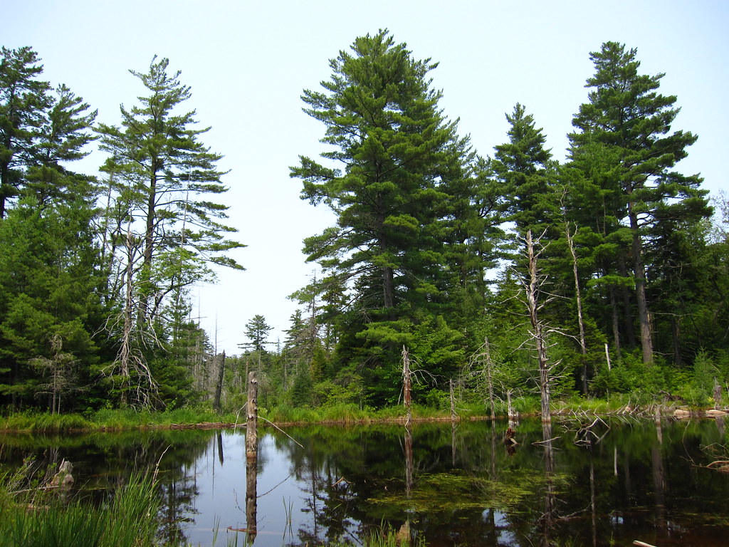 Cranberry Lake 50 Loop TrailHikingPhoto: cm195902, CC BY 2.0 (via Flickr)3.2 mi
- Moore TrailHiking3.3 mi
- Fishpole Pond TrailHiking4.8 mi
- Darning Needle Pond TrailHiking4.9 mi
- J: Cranberry LakeRock climbing7.8 mi
Source: Roamze catalog (indexable pages within 10 miles, PostGIS distance)
- Cranberry Lake 50 Loop TrailHiking · ~5 min drivePhoto: cm195902, CC BY 2.0 (via Flickr)
 Peavine Swamp Ski Trail - Loop 2Hiking · ~9 min drivePhoto: Tony Webster, CC BY-SA 2.0 (via Flickr)
 Campground TrailHiking · ~13 min drivePhoto: Tony Webster, CC BY 2.0 (via Flickr)
- Norridgewock TrailHiking · ~31 min drive
- Peavine Swamp Ski Trail - Loop 1Hiking · ~11 min drivePhoto: Tony Webster, CC BY-SA 2.0 (via Flickr)
 Aldrich Pond Wilderness TrailHiking · ~18 min drivePhoto: Andy Arthur, CC BY 2.0 (via Wikimedia Commons)
- Bear Mountain TrailHiking · ~13 min drivePhoto: Tony Webster, CC BY 2.0 (via Flickr)
 Cascade Lake TrailHiking · ~38 min drivePhoto: John Brighenti from Rockville, MD, United States, CC BY 2.0 (via Wikimedia Commons)
 Trout Pond TrailHiking · ~21 min drivePhoto: andyarthur, CC BY 2.0 (via Flickr)
 Black Bear Mountain TrailHiking · ~40 min drivePhoto: daveynin, CC BY 2.0 (via Flickr)
Best time to visit Cat Mountain Trail
Best months: August–September. Best months have typical highs of 55–85 °F, lows of 30 °F or warmer (32 °F where the station doesn't record snow), at most one snowy day and no more than 12 wet days.
Jan
29° / 5°
17 wet
Feb
31° / 5°
14 wet
Mar
40° / 13°
13 wet
Apr
54° / 30°
12 wet
May
67° / 41°
13 wet
Jun
76° / 50°
13 wet
Jul
79° / 55°
13 wet
Aug
78° / 54°
12 wet
Sep
71° / 46°
12 wet
Oct
57° / 36°
14 wet
Nov
45° / 25°
15 wet
Dec
33° / 14°
17 wet
Typical high / low (°F) and days with rain or snow, 1991–2020. Measured at Wanakena Rngr School, NY, 3.5 mi away at 1,510 ft. The station sits about 800 ft lower than this place, so expect it a little cooler here. This station doesn't record snowfall. Source: NOAA NCEI U.S. Climate Normals 1991–2020.

Route details
- Distance
- 0.7 mi
- Climbing
- About 398 ft
- Summit
- 2,266 ft
- Difficulty
- Moderate
- Time
- About 0.5 hours
Questions about this route
How long is the Cat Mountain Trail on Cat Mountain?
About 0.7 mi.
How much elevation gain is on the Cat Mountain Trail?
About 398 ft of climbing round trip.
How hard is the Cat Mountain Trail?
It is rated moderate.
How long does the Cat Mountain Trail take?
About 0.5 hours round trip.
Conditions and forecast on Cat Mountain
Daily highs and lows, wind and the chance of precipitation at the summit and route start for the next 7 days, from the Open-Meteo model.
Map and trail data © OpenStreetMap contributors
