Dead Creek Flow Trail
- 2.8 mi
- round trip
- 1,373 ft
- climb
- 1,578 ft
- high point
- Out and back
- route
- Aug–Sep
- best months
Clear at last check
Weather is good · OpenWeather · checked 19 h ago
Dead Creek Flow Trail is a 5.7-mile out-and-back hike in New York's Five Ponds Wilderness, managed by the State Department of Conservation. The trail starts at about 1,500 feet and climbs to a high point of 1,578 feet, with a total elevation gain of 1,373 feet over the course of the round trip. The steepest stretch comes at about 1.3 miles in, where the grade reaches 10 percent. Summer is the most comfortable time to go. Typical averages from a nearby weather station at Wanakena put July highs around 79°F with lows near 55°F, while winter highs stay in the 20s and 30s. The hike takes about 2.5 hours. Cat Mountain Trail lies about a mile away, and Big Deer Pond Trail and Moore Trail are each roughly 2 miles off. Paddlers can reach the Oswegatchie River about 3 miles from the trail.
Local outfitters
- Great Camp Sagamore27 mi away
- Cloudsplitter Outfitters39 mi away
Not on Roamze yet. Their page has how to reach them.
- Cat Mountain TrailHiking1 mi
- Big Deer Pond TrailHiking2.2 mi
- Moore TrailHiking2.3 mi
 Oswegatchie RiverCanoeingPhoto: Mwanner, CC BY-SA 3.0 (via Wikimedia Commons)2.9 mi
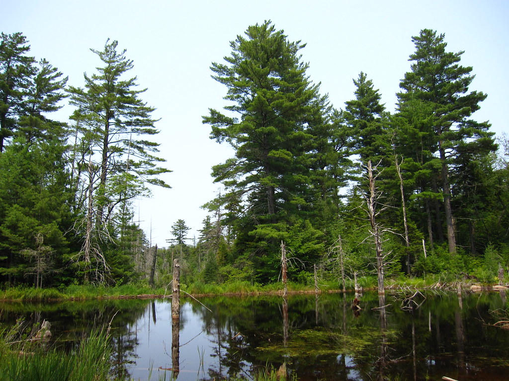 Cranberry Lake 50 Loop TrailHikingPhoto: cm195902, CC BY 2.0 (via Flickr)3.1 mi
 Peavine Swamp Ski Trail - Loop 2HikingPhoto: Tony Webster, CC BY-SA 2.0 (via Flickr)5 mi
- Fishpole Pond TrailHiking5.2 mi
- J: Cranberry LakeRock climbing8.5 mi
Source: Roamze catalog (indexable pages within 10 miles, PostGIS distance)
- Cranberry Lake 50 Loop TrailHiking · ~5 min drivePhoto: cm195902, CC BY 2.0 (via Flickr)
- Peavine Swamp Ski Trail - Loop 2Hiking · ~9 min drivePhoto: Tony Webster, CC BY-SA 2.0 (via Flickr)
 Campground TrailHiking · ~13 min drivePhoto: Tony Webster, CC BY 2.0 (via Flickr)
- Norridgewock TrailHiking · ~32 min drive
- Peavine Swamp Ski Trail - Loop 1Hiking · ~11 min drivePhoto: Tony Webster, CC BY-SA 2.0 (via Flickr)
 Aldrich Pond Wilderness TrailHiking · ~17 min drivePhoto: Andy Arthur, CC BY 2.0 (via Wikimedia Commons)
- Bear Mountain TrailHiking · ~13 min drivePhoto: Tony Webster, CC BY 2.0 (via Flickr)
 Cascade Lake TrailHiking · ~39 min drivePhoto: John Brighenti from Rockville, MD, United States, CC BY 2.0 (via Wikimedia Commons)
 Trout Pond TrailHiking · ~23 min drivePhoto: andyarthur, CC BY 2.0 (via Flickr)
 Black Bear Mountain TrailHiking · ~42 min drivePhoto: daveynin, CC BY 2.0 (via Flickr)
Best time to visit Dead Creek Flow Trail
Best months: August–September. Best months have typical highs of 55–85 °F, lows of 30 °F or warmer (32 °F where the station doesn't record snow), at most one snowy day and no more than 12 wet days.
Jan
29° / 5°
17 wet
Feb
31° / 5°
14 wet
Mar
40° / 13°
13 wet
Apr
54° / 30°
12 wet
May
67° / 41°
13 wet
Jun
76° / 50°
13 wet
Jul
79° / 55°
13 wet
Aug
78° / 54°
12 wet
Sep
71° / 46°
12 wet
Oct
57° / 36°
14 wet
Nov
45° / 25°
15 wet
Dec
33° / 14°
17 wet
Typical high / low (°F) and days with rain or snow, 1991–2020. Measured at Wanakena Rngr School, NY, 2.7 mi away at 1,510 ft. This station doesn't record snowfall. Source: NOAA NCEI U.S. Climate Normals 1991–2020.

Map and trail data © OpenStreetMap contributors
