Mongaup River Trail
- 1.0 mi
- round trip
- 420 ft
- climb
- 567 ft
- high point
- Out and back
- route
- Apr, Jun–Oct
- best months
Is Mongaup River Trail open right now?
No closures listed
The National Park Service lists no closures for Upper Delaware Scenic and Recreational River.
As of · Source: NPS · Upper Delaware Scenic and Recreational River. Agencies don't list every closure — check before you go.
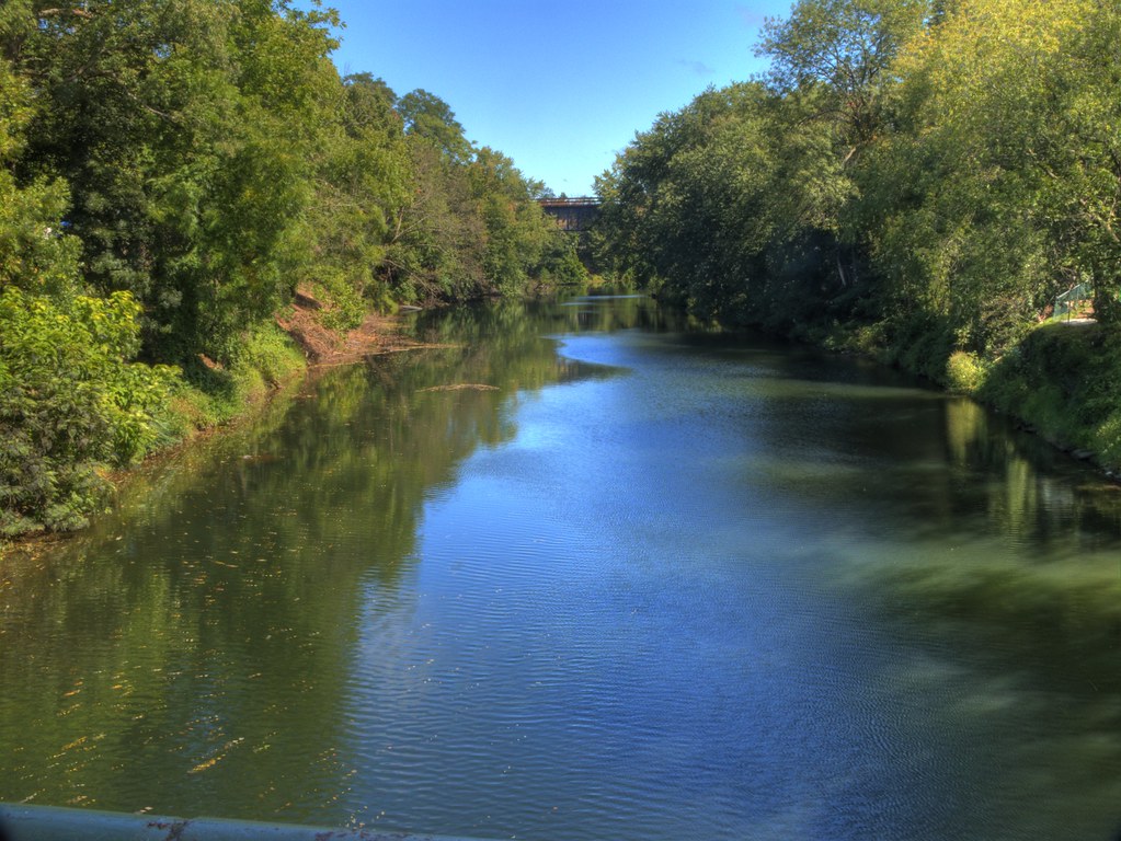
The Mongaup River Trail is an easy out-and-back hike in New York, about a mile long, with a total elevation gain of about 66 feet. It sits within the Upper Delaware Scenic and Recreational River, on land managed by the State Department of Conservation and also within the Mongaup Valley WMA. The trail starts and ends at roughly the same point, with a low of about 494 feet and a high of about 567 feet, and it makes for a short, gentle outing. Summer is the warmest time to visit. Typical averages from a nearby weather station in Matamoras, Pennsylvania, put July highs around 82°F with lows near 59°F. September stays mild, with highs around 74°F and lows near 51°F. Close by are the Stairway Lake Trail and Border Trail in Pennsylvania, the Pine View Trail (easy) and Delaware Trail (easy) in New York. Paddlers can also reach the Mongaup River, about 7 miles away.
Local outfitters
- Catskill Outfitters49 mi away
Not on Roamze yet. Their page has how to reach them.
- Stairway Lake TrailHiking2.3 mi
- Border TrailHiking2.6 mi
- Pine View Trail (easy)Hiking3.2 mi
- Lost Cabin TrailHiking3.2 mi
- Delaware Trail (easy)Hiking3.3 mi
- Tufted Trail (moderate)Hiking3.5 mi
- Lost Bear Trail (intermediate)Hiking3.7 mi
- Mongaup RiverCanoeing6.9 mi
Source: Roamze catalog (indexable pages within 10 miles, PostGIS distance)
 Out N Back Path (moderate)Hiking · ~7 min drivePhoto: Navin75, CC BY-SA 2.0 (via Flickr)
 Lenape Ridge Trail (Red)Hiking · ~13 min drivePhoto: LukeGordon1, CC BY 2.0 (via Flickr)
- Minisink Trail (Yellow)Hiking · ~11 min drive
- Fish Hatchery Trail (Red)Hiking · ~14 min drive
- Sugaree Trail (intermediate)Hiking · ~8 min drivePhoto: Navin75, CC BY-SA 2.0 (via Flickr)
- Lost Cabin TrailHiking · ~6 min drive
- Skyline Path (moderate)Hiking · ~8 min drivePhoto: Navin75, CC BY-SA 2.0 (via Flickr)
- Turntable Trail (advanced)Hiking · ~8 min drive
 Lenape Ridge Trail (red)Hiking · ~11 min drivePhoto: LukeGordon1, CC BY 2.0 (via Flickr)
- Stairway Lake TrailHiking · ~4 min drive
Best time to visit Mongaup River Trail
Best months: April and June–October. Best months have typical highs of 55–85 °F, lows of 30 °F or warmer (32 °F where the station doesn't record snow), at most one snowy day and no more than 12 wet days.
Jan
34° / 16°
12 wet · 8 snow
Feb
37° / 17°
10 wet · 6 snow
Mar
46° / 25°
12 wet · 5 snow
Apr
59° / 34°
12 wet · 1 snow
May
70° / 45°
13 wet
Jun
78° / 55°
12 wet
Jul
82° / 59°
11 wet
Aug
81° / 57°
11 wet
Sep
74° / 51°
10 wet
Oct
62° / 39°
11 wet
Nov
50° / 29°
11 wet · 2 snow
Dec
39° / 23°
12 wet · 6 snow
Typical high / low (°F) and days with rain or snow, 1991–2020. Measured at Matamoras, PA, 3.5 mi away at 459 ft. Source: NOAA NCEI U.S. Climate Normals 1991–2020.
