Sugaree Trail (intermediate)
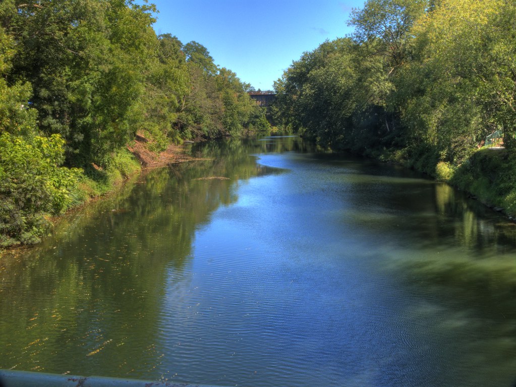
 Photo: Navin75, CC BY-SA 2.0 (via Flickr)
- 1.0 mi
- loop
- 204 ft
- climb
- 947 ft
- high point
- Loop
- route
- Apr–Oct
- best months
Sugaree Trail (intermediate) is a 1-mile loop on city land in Port Jervis, New York, set within the City Of Port Jervis Land. The trail rises about 200 feet from a low point of 839 feet to a high of 947 feet, with the steepest stretch at about 0.5 miles in, where the grade reaches 10%. The climb is balanced, with roughly equal gain and loss over the course of the loop. Late spring and early fall are the most comfortable times to go. Typical averages from a nearby weather station in Port Jervis show May highs around 71°F and September highs around 74°F, while July peaks near 84°F and January highs sit around 34°F. The trail takes about half an hour to complete. It sits close to several other routes, including the Towpath Trail (advanced) about 0.2 miles away and the Scout's Honor Trail (intermediate) about 0.3 miles away. For a change of pace, High Point State Park in New Jersey is about 6 miles off, and Rutgers Creek offers canoeing about 8 miles away.
- Towpath Trail (advanced)Hiking0.2 mi
- Scout's Honor Trail (intermediate)Hiking0.3 mi
- Campsite Trail (moderate)Hiking0.4 mi
- Skyline Path (moderate)HikingPhoto: Navin75, CC BY-SA 2.0 (via Flickr)0.4 mi
- Hula Hubbard Trail (intermediate)Hiking0.5 mi
- Turntable Trail (advanced)Hiking0.5 mi
- High Point State ParkRock climbing5.9 mi
- Rutgers CreekCanoeing8.3 mi
Source: Roamze catalog (indexable pages within 10 miles, PostGIS distance)
- Skyline Path (moderate)Hiking · Next doorPhoto: Navin75, CC BY-SA 2.0 (via Flickr)
 Lenape Ridge Trail (Red)Hiking · ~7 min drivePhoto: LukeGordon1, CC BY 2.0 (via Flickr)
- Minisink Trail (Yellow)Hiking · ~4 min drive
- Out N Back Path (moderate)Hiking · ~2 min drivePhoto: Navin75, CC BY-SA 2.0 (via Flickr)
- Turntable Trail (advanced)Hiking · Next door
 Lenape Ridge Trail (red)Hiking · ~4 min drivePhoto: LukeGordon1, CC BY 2.0 (via Flickr)
- Lost Cabin TrailHiking · ~8 min drive
 Steenykill TrailHiking · ~8 min drivePhoto: Beyond My Ken, CC BY-SA 4.0 (via Wikimedia Commons)
 Appalachian TrailHiking · ~9 min drivePhoto: Tainanian, CC BY 2.0 (via Flickr)
 Monument TrailHiking · ~9 min drivePhoto: Zeete, CC BY-SA 3.0 (via Wikimedia Commons)
Best time to visit Sugaree Trail (intermediate)
Best months: April–October. Best months have typical highs of 55–85 °F, lows of 30 °F or warmer (32 °F where the station doesn't record snow), at most one snowy day and no more than 12 wet days.
Jan
34° / 16°
10 wet
Feb
37° / 17°
9 wet
Mar
46° / 24°
10 wet
Apr
60° / 35°
11 wet
May
71° / 46°
12 wet
Jun
79° / 55°
11 wet
Jul
84° / 60°
10 wet
Aug
81° / 58°
10 wet
Sep
74° / 51°
9 wet
Oct
62° / 40°
10 wet
Nov
49° / 30°
9 wet
Dec
39° / 22°
10 wet
Typical high / low (°F) and days with rain or snow, 1991–2020. Measured at Port Jervis, NY, 0.5 mi away at 580 ft. This station doesn't record snowfall. Source: NOAA NCEI U.S. Climate Normals 1991–2020.
Map and trail data © OpenStreetMap contributors
