Skyline Path (moderate)
 Photo: Navin75, CC BY-SA 2.0 (via Flickr)
- 0.9 mi
- round trip
- 653 ft
- climb
- 898 ft
- high point
- Out and back
- route
- Apr–Oct
- best months
Skyline Path (moderate) is a short out-and-back hike in Elks Memorial Park in New York, about a mile away from the town of Port Jervis. The route is 1.8 miles long, and the one-way climb is 230 feet. The path starts at 866 feet, reaches 898 feet at the high point, and drops back to the start, making the total gain and loss each about 650 feet. The most comfortable months for a visit are late spring and early fall. Typical averages from a nearby weather station in Port Jervis show May highs around 71°F and September highs around 74°F, while July runs hotter at about 84°F and January highs average only 34°F. The route is rated easy, and it should take about an hour to complete. The climb is rolling, and the steepest stretch comes early on, at about 11%, before the path eases back down. Several other trails sit just a short walk away. Campsite Trail (moderate) and Hula Hubbard Trail (intermediate) are each about 0.1 mile off, and Sugaree Trail (intermediate) is about 0.4 mile away. For a change of pace, High Point State Park in New Jersey is roughly 6 miles away.
Conditions and forecast on Point Peter
Daily highs and lows, wind and the chance of precipitation at the summit and route start for the next 7 days, from the Open-Meteo model.
- Campsite Trail (moderate)Hiking0.1 mi
- Hula Hubbard Trail (intermediate)Hiking0.1 mi
- Turntable Trail (advanced)Hiking0.1 mi
- Towpath Trail (advanced)Hiking0.3 mi
- Sugaree Trail (intermediate)HikingPhoto: Navin75, CC BY-SA 2.0 (via Flickr)0.4 mi
- Scout's Honor Trail (intermediate)Hiking0.5 mi
- High Point State ParkRock climbing5.7 mi
- Rutgers CreekCanoeing7.9 mi
Source: Roamze catalog (indexable pages within 10 miles, PostGIS distance)
- Sugaree Trail (intermediate)Hiking · Next doorPhoto: Navin75, CC BY-SA 2.0 (via Flickr)
 Lenape Ridge Trail (Red)Hiking · ~6 min drivePhoto: LukeGordon1, CC BY 2.0 (via Flickr)
- Minisink Trail (Yellow)Hiking · ~3 min drive
- Out N Back Path (moderate)Hiking · ~2 min drivePhoto: Navin75, CC BY-SA 2.0 (via Flickr)
- Turntable Trail (advanced)Hiking · Next door
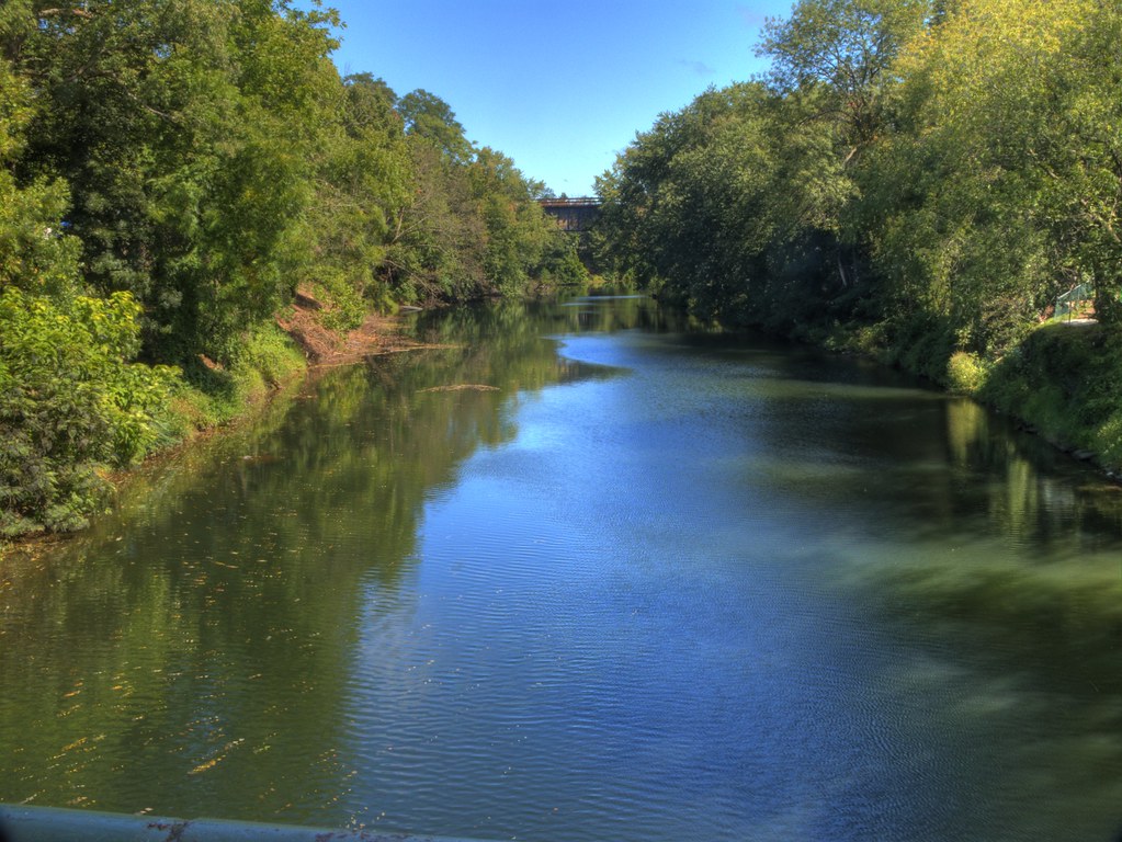 Lenape Ridge Trail (red)Hiking · ~3 min drivePhoto: LukeGordon1, CC BY 2.0 (via Flickr)
- Lost Cabin TrailHiking · ~8 min drive
 Steenykill TrailHiking · ~7 min drivePhoto: Beyond My Ken, CC BY-SA 4.0 (via Wikimedia Commons)
 Appalachian TrailHiking · ~8 min drivePhoto: Tainanian, CC BY 2.0 (via Flickr)
 Monument TrailHiking · ~8 min drivePhoto: Zeete, CC BY-SA 3.0 (via Wikimedia Commons)
Best time to visit Skyline Path (moderate)
Best months: April–October. Best months have typical highs of 55–85 °F, lows of 30 °F or warmer (32 °F where the station doesn't record snow), at most one snowy day and no more than 12 wet days.
Jan
34° / 16°
10 wet
Feb
37° / 17°
9 wet
Mar
46° / 24°
10 wet
Apr
60° / 35°
11 wet
May
71° / 46°
12 wet
Jun
79° / 55°
11 wet
Jul
84° / 60°
10 wet
Aug
81° / 58°
10 wet
Sep
74° / 51°
9 wet
Oct
62° / 40°
10 wet
Nov
49° / 30°
9 wet
Dec
39° / 22°
10 wet
Typical high / low (°F) and days with rain or snow, 1991–2020. Measured at Port Jervis, NY, 0.4 mi away at 580 ft. This station doesn't record snowfall. Source: NOAA NCEI U.S. Climate Normals 1991–2020.
Route details
- Distance
- 0.9 mi round trip
- Climbing
- About 653 ft
- Summit
- 866 ft
- Difficulty
- Easy
- Time
- About 0.5 hours
Other routes up Point Peter
Questions about this route
How long is the Skyline Path (moderate) on Point Peter?
About 0.9 mi round trip.
How much elevation gain is on the Skyline Path (moderate)?
About 653 ft of climbing round trip.
How hard is the Skyline Path (moderate)?
It is rated easy.
How long does the Skyline Path (moderate) take?
About 0.5 hours round trip.
How many routes go up Point Peter?
3: Hula Hubbard Trail (intermediate), Turntable Trail (advanced) and Skyline Path (moderate).
Map and trail data © OpenStreetMap contributors
