Manorville Orange Trail
- 0.3 mi
- round trip
- 99 ft
- climb
- 234 ft
- high point
- Out and back
- route
- Apr, Jun–Sep
- best months
Manorville Orange Trail is a short, easy hike of about 0.34 miles in the Long Island Pine Barrens of New York, on land managed by the county. The out-and-back route passes a high point of about 234 feet, rising roughly 70 feet from the trail's starting elevation of 193 feet. The steepest stretch comes at about 0.26 miles in, with a grade of about 6 percent. Summer is the warmest time to go. Typical averages from the nearby Baiting Hollow weather station show July highs around 83°F with lows near 63°F, while winter highs stay in the upper 30s. That station sits about 160 feet lower than the trail, so temperatures on the route run a bit cooler. The hike takes about half an hour to complete. The Mannorville Hills Mountain Bike Trail is about 0.4 miles away, and the Paumanok Path and Eastport Mountainbike Trail are both within about 2 miles. Climbers can find Edwards Avenue about 6.4 miles off.
- Mannorville Hills Mountain Bike TrailMountain biking0.4 mi
- Paumanok PathHiking1 mi
- Eastport Mountainbike TrailMountain biking1.9 mi
- Toppings PathHiking2.1 mi
- Edwards AvenueRock climbing6.4 mi
- The Bluff BouldersRock climbing6.4 mi
- Baiting Hollow/Riverhead AreaRock climbing6.5 mi
- Roanoke AvenueRock climbing7.8 mi
Source: Roamze catalog (indexable pages within 10 miles, PostGIS distance)
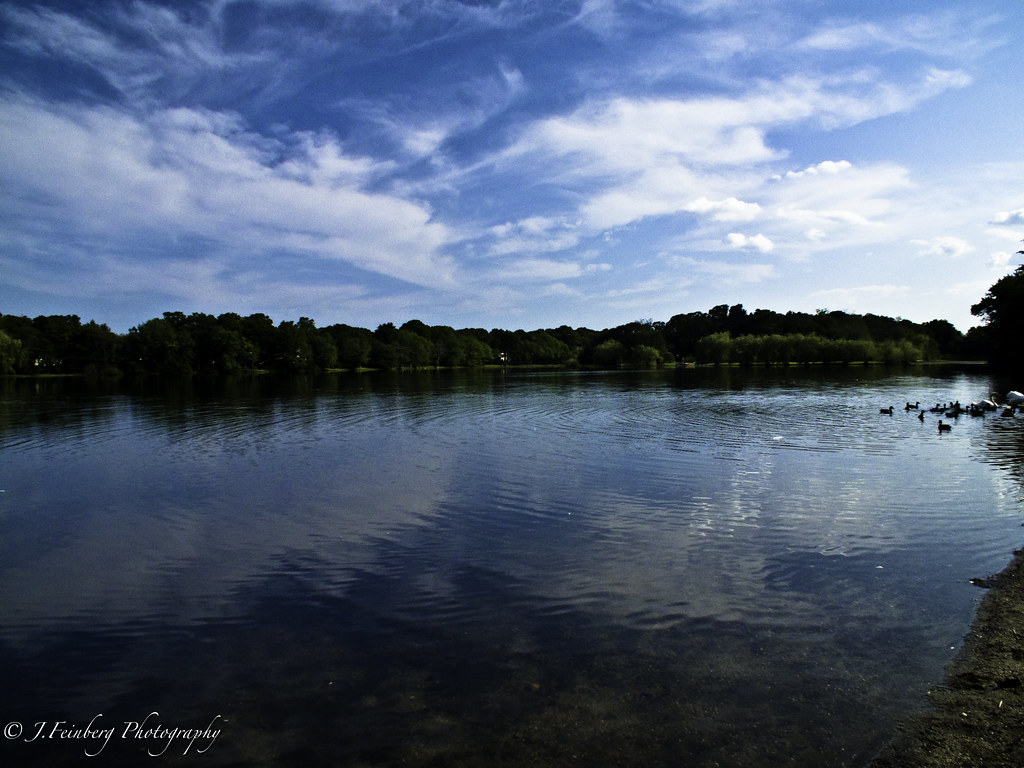 Raymond P. Corwin TrailHiking · ~14 min drivePhoto: J.Feinberg Photography, CC BY 2.0 (via Flickr)
 Black Tupelo TrailHiking · ~15 min drivePhoto: RSLab, CC BY 2.0 (via Flickr)
- Mannorville Hills Mountain Bike TrailHiking · ~1 min drive
- Eastport Mountainbike TrailHiking · ~3 min drive
- White Oak TrailHiking · ~15 min drivePhoto: RSLab, CC BY 2.0 (via Flickr)
- Rocky Point Mountain Bike TrailHiking · ~18 min drive
- Toppings PathHiking · ~4 min drive
- Prosser Pines Hiking TrailsHiking · ~16 min drivePhoto: J.Feinberg Photography, CC BY 2.0 (via Flickr)
- Calverton Mountain Bike TrailHiking · ~9 min drive
- Black Tupelo TrailHiking · ~17 min drivePhoto: RSLab, CC BY 2.0 (via Flickr)
Best time to visit Manorville Orange Trail
Best months: April and June–September. Best months have typical highs of 55–85 °F, lows of 30 °F or warmer (32 °F where the station doesn't record snow), at most one snowy day and no more than 12 wet days.
Jan
38° / 22°
11 wet
Feb
39° / 23°
11 wet
Mar
47° / 29°
12 wet
Apr
57° / 38°
12 wet
May
68° / 47°
13 wet
Jun
77° / 56°
10 wet
Jul
83° / 63°
10 wet
Aug
81° / 62°
11 wet
Sep
75° / 55°
11 wet
Oct
64° / 44°
13 wet
Nov
53° / 35°
12 wet
Dec
43° / 27°
12 wet
Typical high / low (°F) and days with rain or snow, 1991–2020. Measured at Baiting Hollow, NY, 4.2 mi away at 70 ft. This station doesn't record snowfall. Source: NOAA NCEI U.S. Climate Normals 1991–2020.
Map and trail data © OpenStreetMap contributors
