Lower Falls Side Trail
- 0.9 mi
- loop
- 78 ft
- climb
- 432 ft
- high point
- Loop
- route
- Jun–Sep
- best months
The Lower Falls Side Trail is a short, easy hike of about 0.94 miles with a total elevation gain of 78 feet. It starts at a low point of about 335 feet and reaches a high point of about 432 feet. The trail is part of the larger Niagara Falls area and lies roughly 15 miles from the city of Niagara Falls, New York. The route is gentle overall, with the steepest stretch coming at about 0.6 miles in, where the grade reaches around 6 percent. The trail is not open to bikes. Summer is the most comfortable time to go. Typical averages from a nearby weather station in Youngstown show July highs around 83°F with lows near 62°F, while January highs sit around 34°F. The station sits about 137 feet lower than the trail, so temperatures on the trail run slightly cooler. The hike takes about half an hour. The Louth Side Trail starts just 0.1 mile away, and the Cataract Trail is about 2 miles off. The Laura Secord Legacy Trail and Laura Secord Trail are both about 4 miles away.
- Louth Side TrailHiking0.1 mi
 Cataract TrailHikingPhoto: ethan.gosnell2, CC BY-SA 2.0 (via Flickr)1.9 mi
 Laura Secord Legacy TrailHikingPhoto: Mustang Joe, Public Domain Dedication (CC0) (via Flickr)4 mi
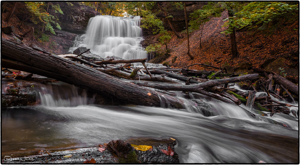 Laura Secord TrailHikingPhoto: Mustang Joe, Public Domain Dedication (CC0) (via Flickr)4.1 mi
Source: Roamze catalog (indexable pages within 10 miles, PostGIS distance)
- Cataract TrailHiking · ~3 min drivePhoto: ethan.gosnell2, CC BY-SA 2.0 (via Flickr)
- Laura Secord Legacy TrailHiking · ~7 min drivePhoto: Mustang Joe, Public Domain Dedication (CC0) (via Flickr)
- Laura Secord TrailHiking · ~7 min drivePhoto: Mustang Joe, Public Domain Dedication (CC0) (via Flickr)
 Upper Canada Heritage TrailHiking · ~27 min drivePhoto: Kenneth A W Gansel, CC BY-SA 4.0 (via Wikimedia Commons)
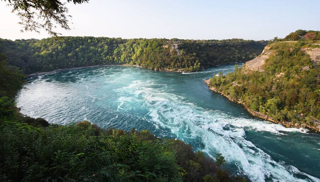 Paisley Janvary-Pool PathwayHiking · ~22 min drivePhoto: Mark Wordy, CC BY 2.0 (via Flickr)
- Bruce Trail - Niagara SectionHiking · ~19 min drive
 Forty Mile Creek TrailHiking · ~20 min drivePhoto: Paul B0udreau, CC BY 2.0 (via Flickr)
 Red Hill Valley TrailHiking · ~41 min drivePhoto: Doug Kerr from Albany, NY, United States, CC BY-SA 2.0 (via Wikimedia Commons)
 Dofasco 2000 TrailHiking · ~37 min drivePhoto: the-road-is-life, CC BY-SA 2.0 (via Flickr)
- Bruce Trail - Iroquoia SectionHiking · ~36 min drive
Also worth it near here
- Shangri-La Family CampgroundCamping · Next door
 Upper Ball's FallsWaterfall · ~3 min drivePhoto: Gogerr, CC BY-SA 4.0 (via Wikimedia Commons)
- Kayak launchBoat launch · ~10 min drive
 Lakeshore Park BeachBeach · ~12 min drivePhoto: Gogerr, CC BY-SA 4.0 (via Wikimedia Commons)
- Welland RiverCanoeing · ~16 min drive
Best time to visit Lower Falls Side Trail
Best months: June–September. Best months have typical highs of 55–85 °F, lows of 30 °F or warmer (32 °F where the station doesn't record snow), at most one snowy day and no more than 12 wet days.
Jan
34° / 19°
18 wet
Feb
35° / 19°
15 wet
Mar
43° / 25°
13 wet
Apr
55° / 35°
14 wet
May
68° / 46°
14 wet
Jun
77° / 57°
12 wet
Jul
83° / 62°
11 wet
Aug
81° / 61°
12 wet
Sep
74° / 54°
12 wet
Oct
61° / 44°
17 wet
Nov
50° / 34°
15 wet
Dec
39° / 26°
16 wet
Typical high / low (°F) and days with rain or snow, 1991–2020. Measured at Youngstown 2 E, NY, 19.1 mi away at 295 ft. This station doesn't record snowfall. Source: NOAA NCEI U.S. Climate Normals 1991–2020.
Map and trail data © OpenStreetMap contributors
