Tiorati Plateau
Campground
Campground · 6.2 mi from the trail
Long Path - Section 7 is a hard hike in New York, about 11 miles long with a total elevation gain of 1,950 feet. It is a point-to-point route, starting at about 480 feet and climbing to a high point of 1,199 feet before descending to a low of 412 feet. The steepest stretch comes at about 3.4 miles in, where the grade reaches 41 percent. The trail begins right next to Woodbury, New York, and is not open to bikes or horses. Plan on about 4.5 hours for the trip. Late spring and early fall are the most comfortable times to go. Typical averages from a nearby weather station at West Point show May highs around 72°F and September highs around 76°F, while July averages about 85°F and January highs sit near 36°F. That station sits roughly 900 feet lower than the route's high point, so temperatures on the trail run cooler. Nearby, the Jessup Trail and West Ridge Trail are both about 1.8 miles away, and the Ridge to Ridge Trail is about 2 miles off. For paddling, Moodna Creek is about 4.5 miles away.
Tiorati Plateau
Campground
 If it rainsDoug Kerr from Albany, NY, United States, CC BY-SA 2.0 · Wikimedia Commons
Open-air museum and sculpture park located in Mountainville, New York
Places © OpenStreetMap contributors · Photos: Doug Kerr from Albany, NY, United States, CC BY-SA 2.0 (commons)
More in New WindsorNot on Roamze yet. Their page has how to reach them.
Best months: April–October. Best months have typical highs of 55–85 °F, lows of 30 °F or warmer (32 °F where the station doesn't record snow), at most one snowy day and no more than 12 wet days.
Jan
36° / 21°
10 wet · 3 snow
Feb
39° / 22°
8 wet · 3 snow
Mar
47° / 30°
10 wet · 2 snow
Apr
60° / 41°
10 wet
May
72° / 51°
12 wet
Jun
80° / 60°
11 wet
Jul
85° / 65°
10 wet
Aug
83° / 64°
9 wet
Sep
76° / 57°
8 wet
Oct
63° / 46°
10 wet
Nov
51° / 36°
9 wet
Dec
41° / 27°
10 wet · 2 snow
Typical high / low (°F) and days with rain or snow, 1991–2020. Measured at West Point, NY, 7.8 mi away at 320 ft. The station sits about 900 ft lower than this place, so expect it a little cooler here. Source: NOAA NCEI U.S. Climate Normals 1991–2020.
 Photo: PunkToad, CC BY 2.0 (via Flickr)
Dark Hollow Trail
~4 min drive
1.54-mile point-to-point trail in New York with 1,244 ft elevation gain
Photo: PunkToad, CC BY 2.0 (via Flickr)Meadow Loop
~5 min drive
1.77-mile loop trail in New York with 227 ft gain and 265 ft loss.
HIKE
Timp Torne Trail
~10 min drive
Scenic ridgeline point-to-point hike with Hudson Valley views.
 Photo: Alex Bellink from Westchester County, New York, CC BY 2.0 (via Wikimedia Commons)
Sweet Clover Trail
~5 min drive
1.80-mile point-to-point trail in New York with 503 ft gain and 1,464 ft loss.
Photo: Alex Bellink from Westchester County, New York, CC BY 2.0 (via Wikimedia Commons)Barton Swamp Trail
~6 min drive
1.94-mile point-to-point trail in New York with 474 ft elevation gain.
 Photo: Schezar, CC BY 2.0 (via Flickr)
Popolopen Gorge Trail
~7 min drive
Point-to-point gorge hike through rocky terrain and stream crossings.
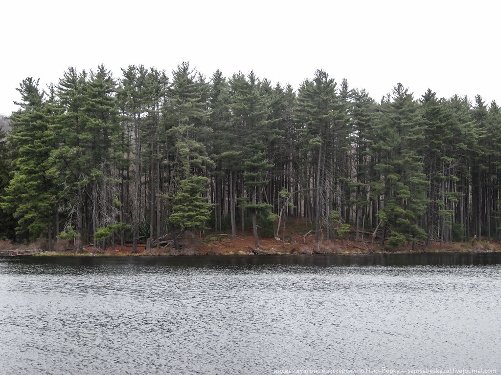 Photo: samsebeskazal, CC BY-SA 2.0 (via Flickr)
Baileytown Road
~7 min drive
1.11-mile out-and-back trail in New York with 397 ft elevation gain.
 Photo: Schezar, CC BY 2.0 (via Flickr)
Anthony Wayne Trail
~8 min drive
A short point-to-point trail perfect for a quick New York hike.
Photo: Schezar, CC BY 2.0 (via Flickr)Nawahunta Fire Road
~7 min drive
1.25-mile out-and-back fire road with 320 ft gain in New York
 Photo: paramsach, CC BY 2.0 (via Flickr)
Major Welch Trail
~11 min drive
1.54-mile point-to-point trail in New York with 1,864 ft gain
About 10.8 mi.
About 1,950 ft of climbing round trip.
It is rated hard.
About 4.5 hours round trip.
3: Long Path - Section 7, Long Path and Long Path.
Daily highs and lows, wind and the chance of precipitation at the summit and route start for the next 7 days, from the Open-Meteo model.
Map and trail data © OpenStreetMap contributors


