Interloken Trail
 Photo: Seabamirum from Ithaca, CC BY 2.0 (via Wikimedia Commons)
- 11.0 mi
- one way
- 634 ft
- climb
- 1,851 ft
- high point
- Point to point
- route
- Aug–Sep
- best months
Is Interloken Trail open right now?
Closure in the area
There's a closure order in Green Mountain and Finger Lakes National Forests. It doesn't name Interloken Trail, so check the source for the area it covers (3 listed).
Klondike Fire Incident Report
Agency closure covering Green Mountain and Finger Lakes National Forests · USFS · Green Mountain and Finger Lakes National Forests
Heavily damaged or closed trails
Agency closure covering Green Mountain and Finger Lakes National Forests · USFS · Green Mountain and Finger Lakes National Forests
Glastenbury fire tower is closed to public use
Agency closure covering Green Mountain and Finger Lakes National Forests · USFS · Green Mountain and Finger Lakes National Forests
Moosalamoo Campground Water System
Agency alert covering Green Mountain and Finger Lakes National Forests · USFS · Green Mountain and Finger Lakes National Forests
As of · Source: USFS · Green Mountain and Finger Lakes National Forests. Agencies don't list every closure — check before you go.
Interloken Trail is a hard hike of about 11 miles in the Hector Ranger District of the Green Mountain and Finger Lakes National Forests in New York, managed by the Forest Service. The trail is a point-to-point route, and the climb totals about 634 feet of gain and 1,044 feet of loss over its length. The most comfortable stretch for a visit runs from June through September, when typical averages from a nearby weather station show highs in the mid-70s to low 80s and lows in the 40s to mid-50s. That station sits a few hundred feet lower than the trail, so temperatures on the route run a little cooler. The Finger Lakes Trail Shelter and the Finger Lakes / North Country Trail both lie about 0.1 mile away, and the South Slope and Gorge Trail are within about a mile.
- Finger Lakes Trail ShelterCamping0.1 mi
- Finger Lakes / North Country TrailHikingPhoto: Seabamirum from Ithaca, CC BY 2.0 (via Wikimedia Commons)0.1 mi
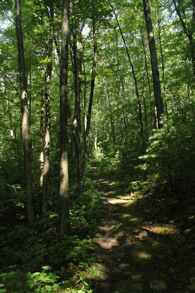 FINGER LAKESHikingPhoto: andyarthur, CC BY 2.0 (via Flickr)0.4 mi
 South SlopeHikingPhoto: javajoe6, CC BY-SA 3.0 (via Wikimedia Commons)0.6 mi
- Gorge TrailHikingPhoto: Seabamirum from Ithaca, CC BY 2.0 (via Wikimedia Commons)1.1 mi
- Blueberry PatchCamping2.9 mi
- Backbone Horse CampCamping2.9 mi
- Finger Lakes - Hector DistrictLake fishing4.3 mi
Source: Roamze catalog (indexable pages within 10 miles, PostGIS distance)
- Finger Lakes / North Country TrailHiking · Next doorPhoto: Seabamirum from Ithaca, CC BY 2.0 (via Wikimedia Commons)
- FINGER LAKESHiking · Next doorPhoto: andyarthur, CC BY 2.0 (via Flickr)
 Backbone TrailHiking · ~7 min drivePhoto: javajoe6, CC BY-SA 3.0 (via Wikimedia Commons)
- Burnt HillHiking · ~3 min drivePhoto: javajoe6, CC BY-SA 3.0 (via Wikimedia Commons)
- South SlopeHiking · Next doorPhoto: javajoe6, CC BY-SA 3.0 (via Wikimedia Commons)
 Indian TrailHiking · ~10 min drivePhoto: Ron Shawley, CC BY 3.0 (via Wikimedia Commons)
- Gorge TrailHiking · ~2 min drivePhoto: Seabamirum from Ithaca, CC BY 2.0 (via Wikimedia Commons)
 Gorge TrailHiking · ~10 min drivePhoto: Ron Shawley, CC BY 3.0 (via Wikimedia Commons)
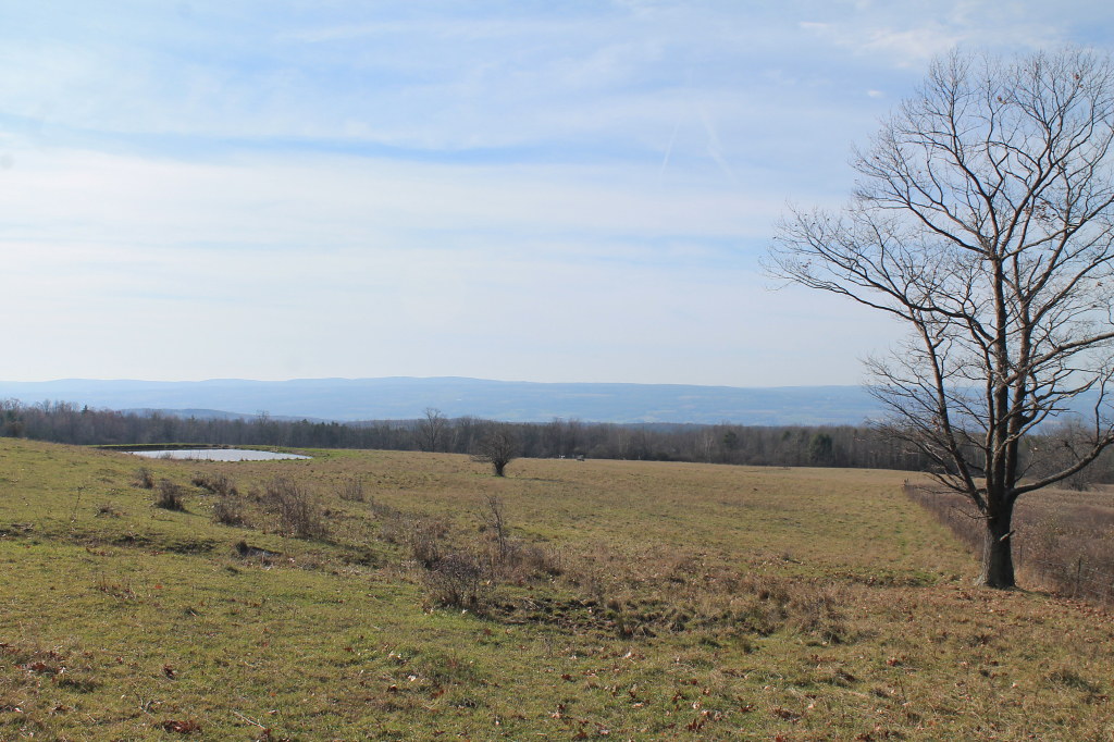 Ravine LoopHiking · ~4 min drivePhoto: andyarthur, CC BY 2.0 (via Flickr)
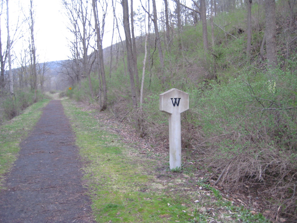 Catherine Valley TrailHiking · ~14 min drivePhoto: Russ Nelson, CC BY-SA 2.0 (via Flickr)
Best time to visit Interloken Trail
Best months: August–September. Best months have typical highs of 55–85 °F, lows of 30 °F or warmer (32 °F where the station doesn't record snow), at most one snowy day and no more than 12 wet days.
Jan
30° / 14°
17 wet
Feb
32° / 15°
14 wet
Mar
39° / 21°
15 wet
Apr
53° / 32°
14 wet
May
66° / 43°
14 wet
Jun
74° / 52°
13 wet
Jul
79° / 56°
13 wet
Aug
77° / 55°
12 wet
Sep
71° / 48°
12 wet
Oct
58° / 39°
15 wet
Nov
46° / 30°
14 wet
Dec
35° / 21°
17 wet
Typical high / low (°F) and days with rain or snow, 1991–2020. Measured at Mecklenburg 4sw, NY, 2.7 mi away at 1,510 ft. This station doesn't record snowfall. Source: NOAA NCEI U.S. Climate Normals 1991–2020.
Map and trail data © OpenStreetMap contributors
