Indian Trail
 Photo: Ron Shawley, CC BY 3.0 (via Wikimedia Commons)
- 1.0 mi
- one way
- 313 ft
- climb
- 992 ft
- high point
- Point to point
- route
- Aug–Sep
- best months
Indian Trail is a 0.97-mile hike in Watkins Glen State Park in New York, managed by State Park and Recreation. It is a point-to-point route with a moderate rating, and the climb is steepest at the start, where the grade reaches about 31%. The trail rises from a starting elevation of 737 feet to a high point of 992 feet, with a total gain of 313 feet. The route also has a total loss of 416 feet, so it is not a loop. Summer is the most comfortable time to go. Typical averages from a nearby weather station show July highs around 79°F and lows near 56°F, while the station sits about 500 feet higher than the trail, so temperatures on the trail run a little warmer. The Gorge Trail starts just 0.2 miles away, and the Catharine Valley Trail is about 1.8 miles off. The Montour Falls Historic Loop Trail is about 3 miles away, and the Finger Lakes Trail Shelter is about 5.6 miles away.
Local outfitters
- Wild Asaph Outfitters48 mi away
Not on Roamze yet. Their page has how to reach them.
Best time to go · Aug–Sep
Best time to visit Indian Trail
Best months: August–September. Best months have typical highs of 55–85 °F, lows of 30 °F or warmer (32 °F where the station doesn't record snow), at most one snowy day and no more than 12 wet days.
Jan
30° / 14°
17 wet
Feb
32° / 15°
14 wet
Mar
39° / 21°
15 wet
Apr
53° / 32°
14 wet
May
66° / 43°
14 wet
Jun
74° / 52°
13 wet
Jul
79° / 56°
13 wet
Aug
77° / 55°
12 wet
Sep
71° / 48°
12 wet
Oct
58° / 39°
15 wet
Nov
46° / 30°
14 wet
Dec
35° / 21°
17 wet
Typical high / low (°F) and days with rain or snow, 1991–2020. Measured at Mecklenburg 4sw, NY, 7.6 mi away at 1,510 ft. The station sits about 500 ft higher than this place, so expect it a little warmer here. This station doesn't record snowfall. Source: NOAA NCEI U.S. Climate Normals 1991–2020.
Keep exploring — more trails worth the drive
 Photo: Ron Shawley, CC BY 3.0 (via Wikimedia Commons)
Gorge Trail
Next door
Gorge Trail is a 1.13-mile point-to-point trail in New York with 276 ft of elevation gain.
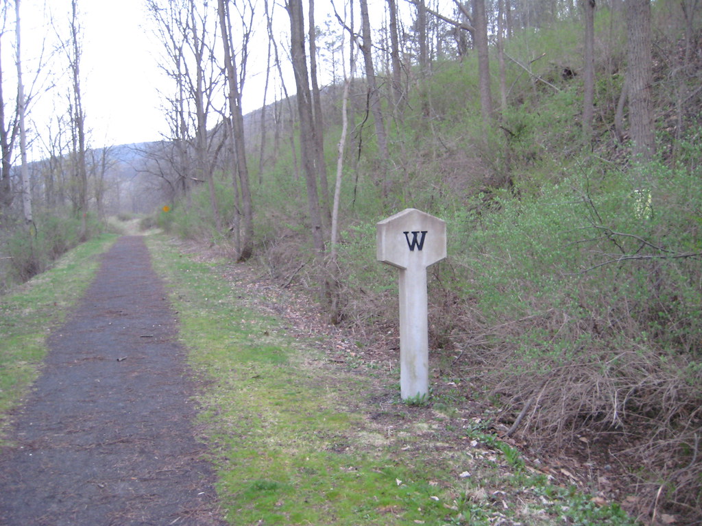 Photo: Russ Nelson, CC BY-SA 2.0 (via Flickr)
Montour Falls Historic Loop Trail
~5 min drive
A 4.52-mile point-to-point historic trail through Montour Falls, New York.
 Photo: Seabamirum from Ithaca, CC BY 2.0 (via Wikimedia Commons)
Interloken Trail
~10 min drive
A 10.91-mile point-to-point New York trail through scenic terrain.
Photo: Russ Nelson, CC BY-SA 2.0 (via Flickr)Catherine Valley Trail
~6 min drive
8.8-mile out-and-back hike in New York with 2,029 ft elevation gain
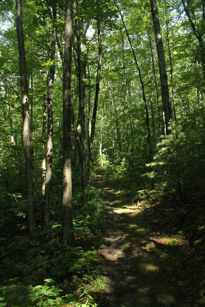 Photo: andyarthur, CC BY 2.0 (via Flickr)
FINGER LAKES
~9 min drive
1.1-mile out-and-back trail in New York with 291 ft elevation gain
 Photo: javajoe6, CC BY-SA 3.0 (via Wikimedia Commons)
Backbone Trail
~17 min drive
11.22-mile out-and-back trail in New York with 1,127 ft elevation gain
Photo: Seabamirum from Ithaca, CC BY 2.0 (via Wikimedia Commons)Finger Lakes / North Country Trail
~10 min drive
4.6-mile out-and-back trail in New York with 1,151 ft elevation gain
 Photo: javajoe6, CC BY-SA 3.0 (via Wikimedia Commons)
South Slope
~10 min drive
1.59-mile out-and-back trail in New York with 212 ft elevation gain
Photo: javajoe6, CC BY-SA 3.0 (via Wikimedia Commons)Burnt Hill
~13 min drive
Burnt Hill is a 4.05-mile loop in New York with 163 ft gain.
 Photo: andyarthur, CC BY 2.0 (via Flickr)
Mohawk Trail
~11 min drive
2.4-mile out-and-back hike in New York with 897 ft elevation gain

Map and trail data © OpenStreetMap contributors
