Catherine Valley Trail
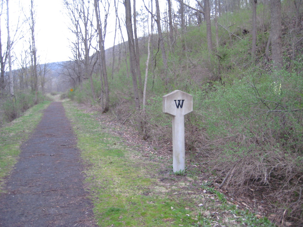 Photo: Russ Nelson, CC BY-SA 2.0 (via Flickr)
- 4.4 mi
- round trip
- 2,029 ft
- climb
- 822 ft
- high point
- Out and back
- route
Catherine Valley Trail is a moderate out-and-back hike in New York, about 1.4 miles from the town of Deckertown. The trail is 8.8 miles long, with a total elevation gain of 2,029 feet, and it rises steadily from a low point of 512 feet to a high of 822 feet. The steepest stretch comes early, at about 0.09 miles from the start, where the grade reaches 14 percent. The most comfortable months for a visit are typically June and September. Typical averages from a nearby weather station show June highs around 78°F and September highs around 73°F, with July the warmest at about 82°F. The trip takes about four hours. The Montour Falls Historic Loop Trail lies just 0.8 miles away, and the Catharine Valley Trail is about 1.9 miles off. The Gorge Trail and the Finger Lakes Trail Shelter are both within about 8 miles.
Local outfitters
- Wild Asaph Outfitters46 mi away
Not on Roamze yet. Their page has how to reach them.
- Montour Falls Historic Loop TrailHikingPhoto: Russ Nelson, CC BY-SA 2.0 (via Flickr)0.8 mi
- Catharine Valley TrailHiking1.9 mi
 Indian TrailHikingPhoto: Ron Shawley, CC BY 3.0 (via Wikimedia Commons)3.6 mi
 Gorge TrailHikingPhoto: Ron Shawley, CC BY 3.0 (via Wikimedia Commons)3.7 mi
- Martin Nature Preserve TrailHiking4.9 mi
- Bog LoopHiking6.6 mi
- School House TrailHiking7.4 mi
- Finger Lakes Trail ShelterCamping8 mi
Source: Roamze catalog (indexable pages within 10 miles, PostGIS distance)
- Montour Falls Historic Loop TrailHiking · ~1 min drivePhoto: Russ Nelson, CC BY-SA 2.0 (via Flickr)
- Indian TrailHiking · ~6 min drivePhoto: Ron Shawley, CC BY 3.0 (via Wikimedia Commons)
 Interloken TrailHiking · ~14 min drivePhoto: Seabamirum from Ithaca, CC BY 2.0 (via Wikimedia Commons)
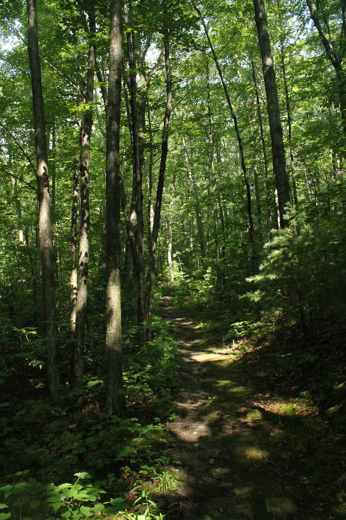 FINGER LAKESHiking · ~13 min drivePhoto: andyarthur, CC BY 2.0 (via Flickr)
- Gorge TrailHiking · ~6 min drivePhoto: Ron Shawley, CC BY 3.0 (via Wikimedia Commons)
 Backbone TrailHiking · ~21 min drivePhoto: javajoe6, CC BY-SA 3.0 (via Wikimedia Commons)
 South SlopeHiking · ~14 min drivePhoto: javajoe6, CC BY-SA 3.0 (via Wikimedia Commons)
- Burnt HillHiking · ~17 min drivePhoto: javajoe6, CC BY-SA 3.0 (via Wikimedia Commons)
 Mohawk TrailHiking · ~15 min drivePhoto: andyarthur, CC BY 2.0 (via Flickr)
 Yellow TrailHiking · ~22 min drivePhoto: Russ Nelson, CC BY-SA 2.0 (via Flickr)
Best time to visit Catherine Valley Trail
No month here meets our mild-weather rule. Best months have typical highs of 55–85 °F, lows of 30 °F or warmer (32 °F where the station doesn't record snow), at most one snowy day and no more than 12 wet days.
Jan
34° / 16°
11 wet
Feb
36° / 17°
10 wet
Mar
45° / 24°
12 wet
Apr
58° / 34°
13 wet
May
70° / 44°
14 wet
Jun
78° / 53°
14 wet
Jul
82° / 58°
14 wet
Aug
81° / 57°
15 wet
Sep
73° / 49°
14 wet
Oct
61° / 39°
14 wet
Nov
49° / 30°
12 wet
Dec
39° / 23°
12 wet
Typical high / low (°F) and days with rain or snow, 1991–2020. Measured at Elmira Corning Rgnl Ap, NY, 11.8 mi away at 955 ft. This station doesn't record snowfall. Source: NOAA NCEI U.S. Climate Normals 1991–2020.

Map and trail data © OpenStreetMap contributors
