Horseshoe Trail
- 1.0 mi
- round trip
- 310 ft
- climb
- 643 ft
- high point
- Out and back
- route
- May–Oct
- best months
Horseshoe Trail is an easy hike of about 2 miles in Russell Park, a city-managed park in New York, roughly a mile from the town of Little Falls. It is a short, low-effort outing, with a total elevation gain of about 310 feet, making it an out-and-back route that can fit into a single hour. The trail starts at about 601 feet and reaches a high point of 643 feet, with the steepest stretch coming near the 0.4-mile mark at a grade of about 8%. The route is mostly gentle, and the elevation change is modest enough to make it a good option for a quick walk or the start of a longer day outdoors. Summer and early fall are the most comfortable times to go. Typical averages from a nearby weather station in Little Falls show July highs around 81°F with lows near 58°F, and September highs around 73°F with lows near 48°F. That station sits about 250 feet higher than the trail, so temperatures on the trail run slightly warmer. Nearby options include Sterling Creek, a canoeing spot about 8 miles away, the Erie Canalway Trail from Frankfort to Little Falls at about 9 miles, and Moss Island, a climbing area just under 10 miles away.
- Sterling CreekCanoeing7.8 mi
 Erie Canalway Trail (Frankfort to Little Falls)HikingPhoto: Schezar, CC BY 2.0 (via Flickr)9 mi
- Erie Canalway Trail (Little Falls to Canajoharie)HikingPhoto: Schezar, CC BY 2.0 (via Flickr)9 mi
- Moss IslandRock climbing9.7 mi
Source: Roamze catalog (indexable pages within 10 miles, PostGIS distance)
- Erie Canalway Trail (Frankfort to Little Falls)Hiking · ~15 min drivePhoto: Schezar, CC BY 2.0 (via Flickr)
- Erie Canalway Trail (Little Falls to Canajoharie)Hiking · ~15 min drivePhoto: Schezar, CC BY 2.0 (via Flickr)
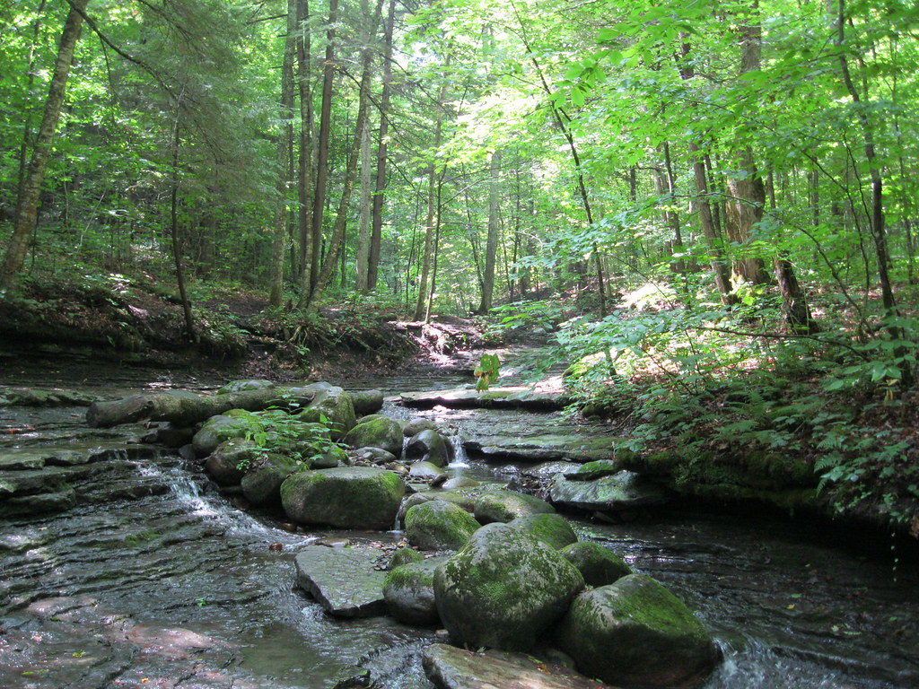 Pixley FallsHiking · ~54 min drivePhoto: nick.hepler, CC BY 2.0 (via Flickr)
- Clark Hill to RomeHiking · ~49 min drive
 Truck Trail 8Hiking · ~40 min drivePhoto: andyarthur, CC BY 2.0 (via Flickr)
- Erie Canalway Trail (Utica to Frankfort)Hiking · ~20 min drive
 Twin Lakes TrailHiking · ~55 min drivePhoto: Andy Arthur, CC BY 2.0 (via Wikimedia Commons)
 Erie Canalway TrailHiking · ~47 min drivePhoto: Russ Nelson, CC BY-SA 2.0 (via Flickr)
- Erie Canalway Trail (Rome to Utica)Hiking · ~44 min drive
- Jerseyfield Railbed TrailHiking · ~34 min drive
Best time to visit Horseshoe Trail
Best months: May–October. Best months have typical highs of 55–85 °F, lows of 30 °F or warmer (32 °F where the station doesn't record snow), at most one snowy day and no more than 12 wet days.
Jan
30° / 11°
Feb
32° / 12°
Mar
40° / 20°
Apr
54° / 32°
May
68° / 44°
Jun
76° / 54°
Jul
81° / 58°
Aug
79° / 56°
Sep
73° / 48°
Oct
59° / 38°
Nov
47° / 28°
Dec
35° / 18°
Typical high / low (°F) and days with rain or snow, 1991–2020. Measured at Little Falls City Rsch, NY, 9.2 mi away at 893 ft. This station doesn't record snowfall. Source: NOAA NCEI U.S. Climate Normals 1991–2020.

Map and trail data © OpenStreetMap contributors
