Pixley Falls
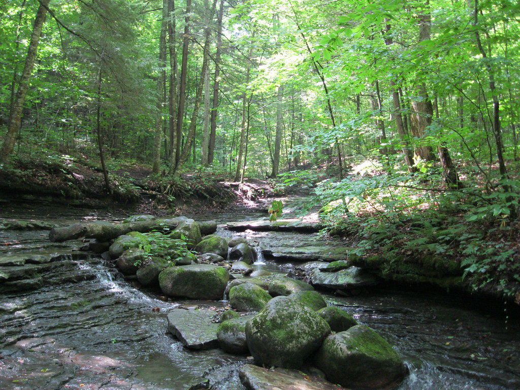 Photo: nick.hepler, CC BY 2.0 (via Flickr)
- 1.2 mi
- round trip
- 997 ft
- climb
- 1,270 ft
- high point
- Out and back
- route
Pixley Falls is an easy out-and-back hike in New York, about half a mile from the village of Hurlbutville. The route is roughly 2.4 miles long, with a total climb of about 997 feet. That makes the one-way climb about 430 feet, and the steepest stretch comes early on at about 21% grade. Summer is the most comfortable time to go. Typical July averages from a nearby weather station run to a high of 75°F and a low of 56°F, while winter brings regular snow, with highs in the mid-20s from December through February. Other walks sit close by. The Canal Trail (Breia) is about a mile away, Clark Hill to Rome and Clark Hill State Forest are both about 3 miles off, and Glacier Trail is roughly 4.5 miles away.
Local outfitters
- Great Camp Sagamore44 mi away
Not on Roamze yet. Their page has how to reach them.
 Canal Trail (Breia)HikingPhoto: Russ Nelson, CC BY-SA 2.0 (via Flickr)1.2 mi
- Clark Hill to RomeHiking3 mi
- Clark Hill State ForestHiking3 mi
- Glacier TrailHiking4.5 mi
- Black River Feeder Canal TowpathHiking5.9 mi
Source: Roamze catalog (indexable pages within 10 miles, PostGIS distance)
- Canal Trail (Breia)Hiking · ~2 min drivePhoto: Russ Nelson, CC BY-SA 2.0 (via Flickr)
 Erie Canalway TrailHiking · ~24 min drivePhoto: Russ Nelson, CC BY-SA 2.0 (via Flickr)
 Twin Lakes TrailHiking · ~30 min drivePhoto: Andy Arthur, CC BY 2.0 (via Wikimedia Commons)
- Clark Hill to RomeHiking · ~5 min drive
- Erie Canalway Trail (Rome to Utica)Hiking · ~24 min drive
 South Branch TrailHiking · ~33 min drivePhoto: andyarthur, CC BY 2.0 (via Flickr)
 Lost Lake TrailHiking · ~39 min drivePhoto: cm195902, CC BY 2.0 (via Flickr)
- Stone Dam TrailHiking · ~25 min drive
 Erie Canal - Broad St To State Rte 31 Near CanastotaHiking · ~44 min drivePhoto: Russ Nelson, CC BY-SA 2.0 (via Flickr)
- Clark Hill State ForestHiking · ~5 min drive
Best time to visit Pixley Falls
No month here meets our mild-weather rule. Best months have typical highs of 55–85 °F, lows of 30 °F or warmer (32 °F where the station doesn't record snow), at most one snowy day and no more than 12 wet days.
Jan
25° / 8°
19 wet · 17 snow
Feb
27° / 9°
16 wet · 14 snow
Mar
36° / 18°
15 wet · 10 snow
Apr
49° / 30°
14 wet · 4 snow
May
63° / 43°
14 wet
Jun
71° / 52°
13 wet
Jul
75° / 56°
13 wet
Aug
74° / 55°
13 wet
Sep
67° / 48°
13 wet
Oct
54° / 37°
16 wet · 1 snow
Nov
41° / 26°
16 wet · 7 snow
Dec
30° / 16°
19 wet · 14 snow
Typical high / low (°F) and days with rain or snow, 1991–2020. Measured at Boonville 4 Ssw, NY, 3 mi away at 1,550 ft. Source: NOAA NCEI U.S. Climate Normals 1991–2020.


