Erie Canalway Trail (Rome to Utica)
- 16.5 mi
- one way
- 225 ft
- climb
- 451 ft
- high point
- Point to point
- route
The Erie Canalway Trail from Rome to Utica is a 16.5-mile point-to-point route in New York, starting just 0.2 miles from the town of Rome. The trail runs from Rome to Utica, and the elevation gain is 225 feet, with the high point at 451 feet and the low at 372 feet. The climb is rated hard, and the steepest stretch comes at about 1.9 miles in, with a grade of 2 percent. Bikes are allowed on this section, so it works for both hikers and riders. Summer is the most comfortable time to go. Typical averages from a nearby weather station at Rome Griffiss Airfield show July highs around 81°F and lows near 60°F, while winter highs stay around 30°F. The Mohawk River Trail lies about 1.6 miles away, and Stony Creek and Wood Creek, both canoeing spots, are roughly 5.5 miles off.
 Erie Canalway TrailHikingPhoto: Russ Nelson, CC BY-SA 2.0 (via Flickr)1.4 mi
- Mohawk River TrailHiking1.6 mi
- Stony CreekCanoeing5.5 mi
 Wood CreekCanoeingPhoto: Easchiff, CC BY-SA 3.0 (via Wikimedia Commons)5.7 mi
Source: Roamze catalog (indexable pages within 10 miles, PostGIS distance)
- Erie Canalway TrailHiking · ~2 min drivePhoto: Russ Nelson, CC BY-SA 2.0 (via Flickr)
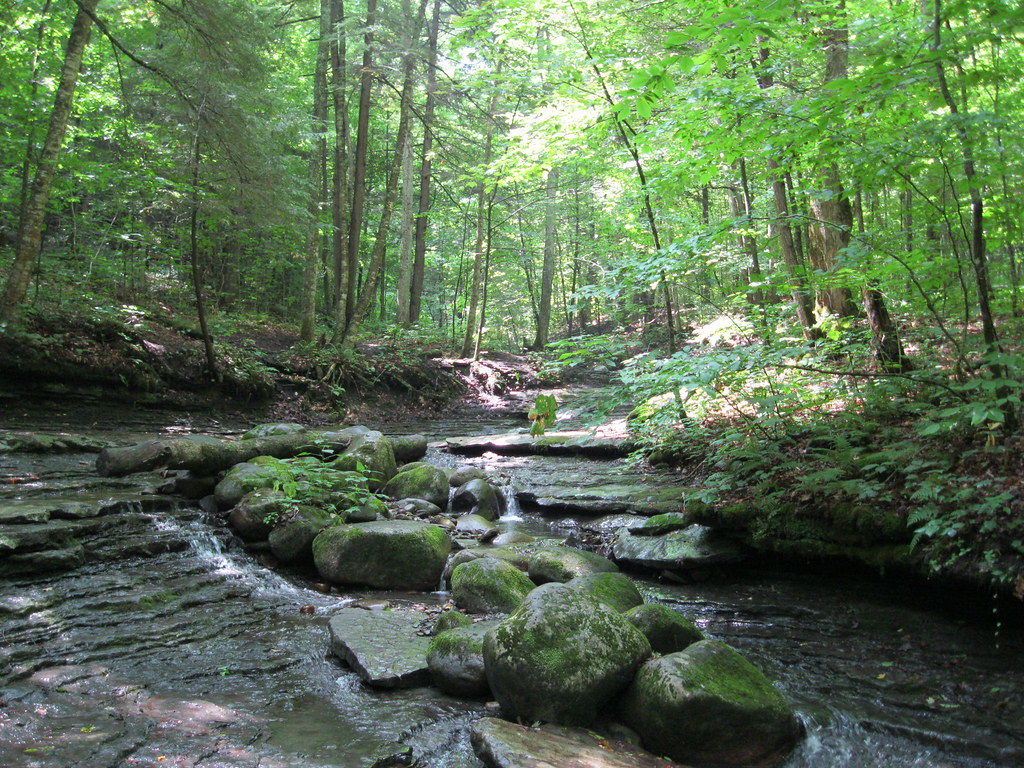 Pixley FallsHiking · ~24 min drivePhoto: nick.hepler, CC BY 2.0 (via Flickr)
 Canal Trail (Breia)Hiking · ~24 min drivePhoto: Russ Nelson, CC BY-SA 2.0 (via Flickr)
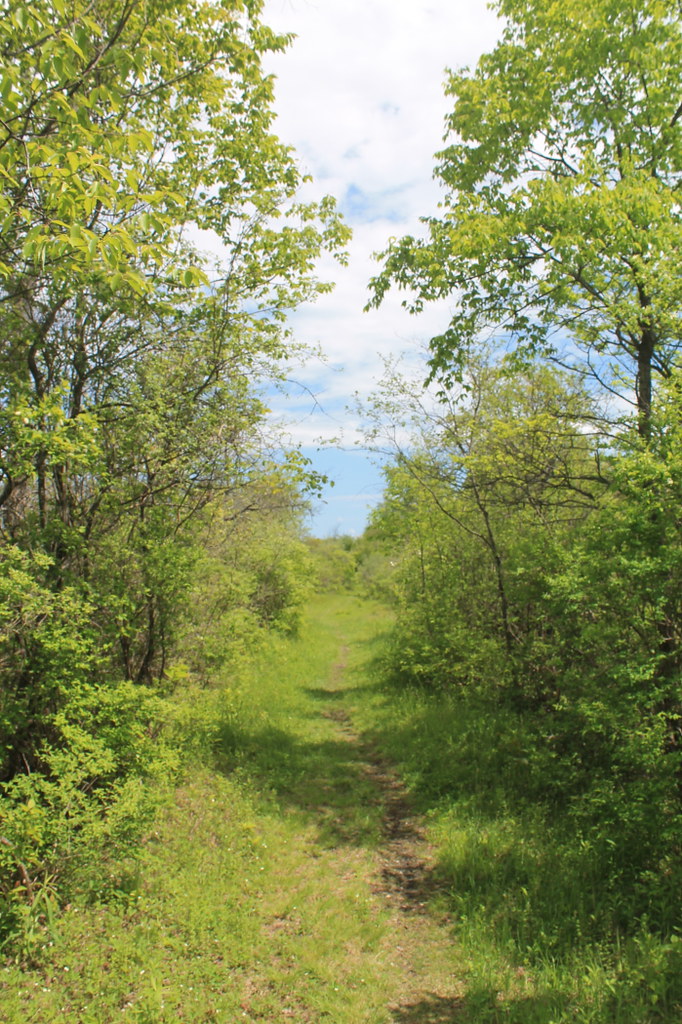 Link TrailHiking · ~49 min drivePhoto: andyarthur, CC BY 2.0 (via Flickr)
 Erie Canal - Broad St To State Rte 31 Near CanastotaHiking · ~21 min drivePhoto: Russ Nelson, CC BY-SA 2.0 (via Flickr)
 Old Growth TrailHiking · ~49 min drivePhoto: edt11x, CC BY 2.0 (via Flickr)
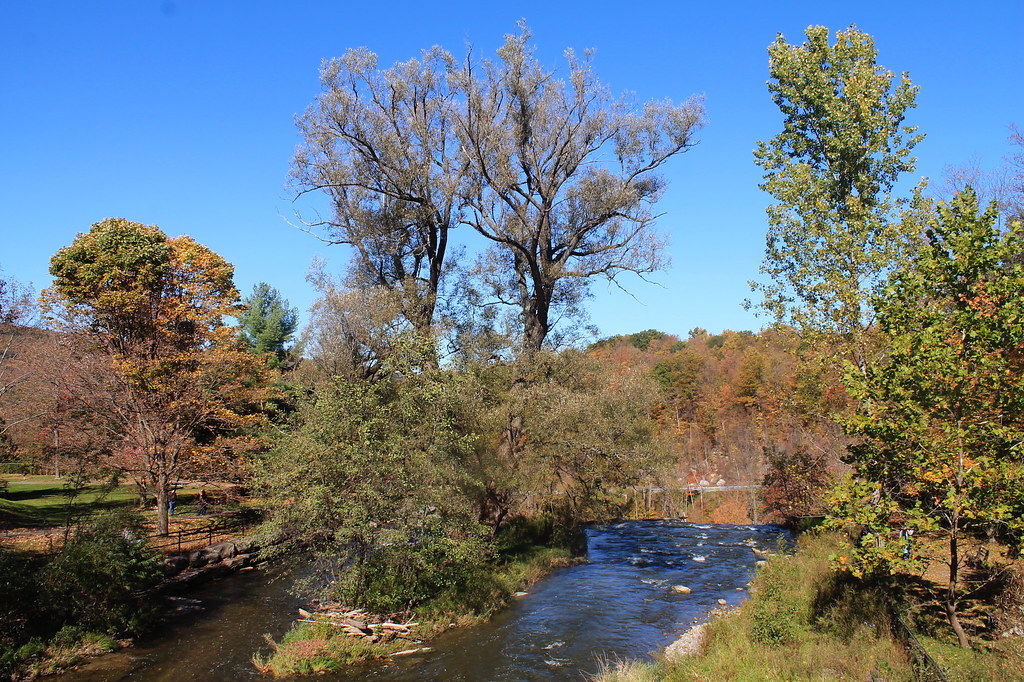 Lehigh Valley Railroad (Link Trail)Hiking · ~44 min drivePhoto: andyarthur, CC BY 2.0 (via Flickr)
- Clark Hill to RomeHiking · ~23 min drive
- Gorge Trail - Link TrailHiking · ~44 min drivePhoto: andyarthur, CC BY 2.0 (via Flickr)
 Twin Lakes TrailHiking · ~49 min drivePhoto: Andy Arthur, CC BY 2.0 (via Wikimedia Commons)
Best time to visit Erie Canalway Trail (Rome to Utica)
No month here meets our mild-weather rule. Best months have typical highs of 55–85 °F, lows of 30 °F or warmer (32 °F where the station doesn't record snow), at most one snowy day and no more than 12 wet days.
Jan
30° / 13°
14 wet
Feb
32° / 13°
13 wet
Mar
41° / 23°
14 wet
Apr
55° / 34°
15 wet
May
69° / 45°
15 wet
Jun
76° / 55°
13 wet
Jul
81° / 60°
14 wet
Aug
79° / 58°
14 wet
Sep
72° / 51°
13 wet
Oct
59° / 41°
16 wet
Nov
47° / 31°
16 wet
Dec
36° / 21°
17 wet
Typical high / low (°F) and days with rain or snow, 1991–2020. Measured at Rome Griffiss Airfield, NY, 2.8 mi away at 519 ft. This station doesn't record snowfall. Source: NOAA NCEI U.S. Climate Normals 1991–2020.
Map and trail data © OpenStreetMap contributors
