High-Water Bypass
 Photo: Dougtone, CC BY-SA 2.0 (via Wikimedia Commons)
- 0.4 mi
- loop
- 13 ft
- climb
- 364 ft
- high point
- Loop
- route
- Apr, Jun–Oct
- best months
High-Water Bypass is a short, easy loop on county land in Schenectady, New York, set on a low-lying stretch of the County of Schenectady's property. The route is about 0.38 miles long, with a total elevation gain of 13 feet, and it makes a quick stop for anyone already exploring the area. The loop is a low-effort outing. It rises from about 300 feet to about 364 feet, with the steepest part of the climb coming at roughly 0.14 miles in, where the grade reaches about 11 percent. The trail is not wheelchair accessible, and neither bikes nor horses are allowed. For comfortable weather, late spring and early fall are the best bets. Typical averages from a nearby weather station in Albany show May highs around 71°F and September highs around 74°F, while winter brings regular snow days from December through February. Several other trails sit within a short distance. R is about 0.9 miles away, the Orange Trail (Unofficial) is about 1.2 miles away, and the Mohawk-Hudson Bike-Hike Trail (Hike) and South Rim Trail are each about 1.3 miles away.
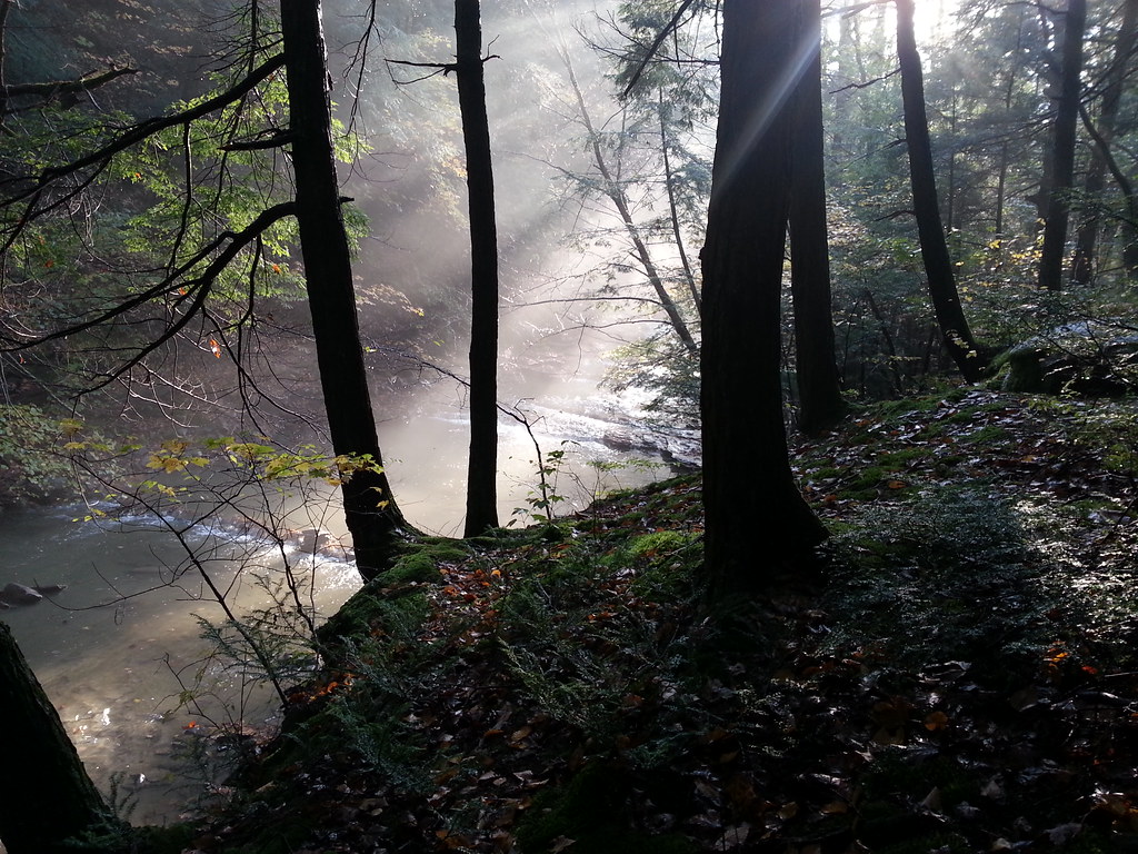 RHikingPhoto: ke9tv, CC BY-SA 2.0 (via Flickr)0.9 mi
 Orange Trail (Unofficial)HikingPhoto: ke9tv, CC BY-SA 2.0 (via Flickr)1.2 mi
- Mohawk-Hudson Bike-Hike Trail (Hike)HikingPhoto: Dougtone, CC BY-SA 2.0 (via Wikimedia Commons)1.3 mi
- South Rim TrailHikingPhoto: ke9tv, CC BY-SA 2.0 (via Flickr)1.3 mi
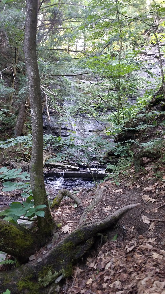 Highland Trail (Yellow)HikingPhoto: ke9tv, CC BY-SA 2.0 (via Flickr)1.6 mi
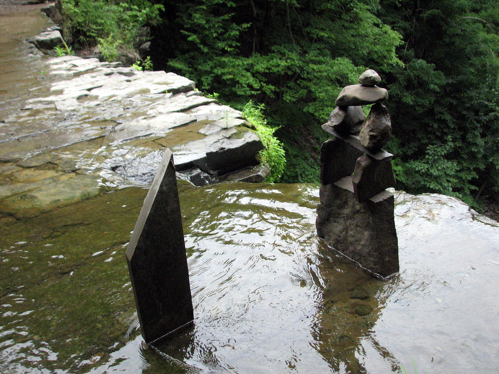 North Rim TrailHikingPhoto: bobistraveling, CC BY 2.0 (via Flickr)1.9 mi
- Blue Scenic LoopHikingPhoto: bobistraveling, CC BY 2.0 (via Flickr)1.9 mi
 Nys Snowmobile Corridor 7BHikingPhoto: Ron Cogswell, CC BY 2.0 (via Flickr)6 mi
Source: Roamze catalog (indexable pages within 10 miles, PostGIS distance)
- RHiking · ~2 min drivePhoto: ke9tv, CC BY-SA 2.0 (via Flickr)
- Mohawk-Hudson Bike-Hike Trail (Hike)Hiking · ~2 min drivePhoto: Dougtone, CC BY-SA 2.0 (via Wikimedia Commons)
 Whitmyer-Shaker Gorge TrailHiking · ~15 min drivePhoto: Dougtone, CC BY-SA 2.0 (via Wikimedia Commons)
- Orange Trail (Unofficial)Hiking · ~2 min drivePhoto: ke9tv, CC BY-SA 2.0 (via Flickr)
- X-C Ski Trail (Yellow)Hiking · ~11 min drive
- South Rim TrailHiking · ~2 min drivePhoto: ke9tv, CC BY-SA 2.0 (via Flickr)
- Yellow TrailHiking · ~12 min drive
- Highland Trail (Yellow)Hiking · ~3 min drivePhoto: ke9tv, CC BY-SA 2.0 (via Flickr)
- Red Loop TrailHiking · ~14 min drive
- North Rim TrailHiking · ~3 min drivePhoto: bobistraveling, CC BY 2.0 (via Flickr)
Best time to visit High-Water Bypass
Best months: April and June–October. Best months have typical highs of 55–85 °F, lows of 30 °F or warmer (32 °F where the station doesn't record snow), at most one snowy day and no more than 12 wet days.
Jan
33° / 16°
12 wet · 9 snow
Feb
36° / 18°
11 wet · 8 snow
Mar
45° / 26°
12 wet · 6 snow
Apr
59° / 37°
12 wet · 1 snow
May
71° / 48°
13 wet
Jun
79° / 57°
12 wet
Jul
84° / 62°
12 wet
Aug
82° / 61°
11 wet
Sep
74° / 53°
10 wet
Oct
62° / 41°
11 wet
Nov
49° / 32°
11 wet · 3 snow
Dec
38° / 23°
13 wet · 7 snow
Typical high / low (°F) and days with rain or snow, 1991–2020. Measured at Albany Ap, NY, 12.7 mi away at 312 ft. Source: NOAA NCEI U.S. Climate Normals 1991–2020.
Map and trail data © OpenStreetMap contributors
