Blue Scenic Loop
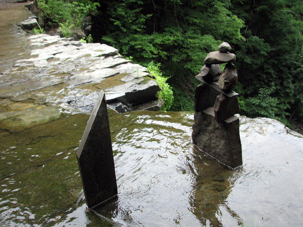 Photo: bobistraveling, CC BY 2.0 (via Flickr)
- 0.6 mi
- loop
- 46 ft
- climb
- 857 ft
- high point
- Loop
- route
- Apr–Oct
- best months
Blue Scenic Loop is a short, easy loop on county land in Schenectady, New York, set within the County Of Schenectady Land on a network of trails. The loop is 0.6 miles long, rises about 46 feet from a low of 793 feet to a high of 857 feet, and takes about half an hour to walk. It's a gentle outing with a small climb and a little downhill to balance it. The trail is not wheelchair accessible, and bikes and horses are not allowed. Plan to go on foot. Late spring through early fall is the most comfortable time. Typical averages from a nearby weather station show highs around 70°F in May and 74°F in September, with July peaking near 81°F. North Rim Trail starts just 0.1 mile away, and Highland Trail (Yellow) is 0.3 mile off. South Rim Trail is about 0.6 mile away, and the Mohawk-Hudson Bike-Hike Trail (Hike) lies roughly 2.4 miles out.
Best time to go · Apr–Oct
Best time to visit Blue Scenic Loop
Best months: April–October. Best months have typical highs of 55–85 °F, lows of 30 °F or warmer (32 °F where the station doesn't record snow), at most one snowy day and no more than 12 wet days.
Jan
31° / 12°
Feb
34° / 13°
Mar
42° / 20°
Apr
57° / 33°
May
70° / 44°
Jun
77° / 53°
Jul
81° / 59°
Aug
80° / 56°
Sep
74° / 49°
Oct
59° / 38°
Nov
48° / 28°
Dec
36° / 19°
Typical high / low (°F) and days with rain or snow, 1991–2020. Measured at Delanson 2ne, NY, 7.3 mi away at 984 ft. This station doesn't record snowfall. Source: NOAA NCEI U.S. Climate Normals 1991–2020.
Keep exploring — more trails worth the drive
Photo: bobistraveling, CC BY 2.0 (via Flickr)North Rim Trail
Next door
Short point-to-point rim trail with scenic overlook views in New York.
 Photo: Dougtone, CC BY-SA 2.0 (via Wikimedia Commons)
Mohawk-Hudson Bike-Hike Trail (Hike)
~4 min drive
38-mile point-to-point Mohawk Valley trail following historic river corridors.
 Photo: Dougtone, CC BY-SA 2.0 (via Wikimedia Commons)
Whitmyer-Shaker Gorge Trail
~17 min drive
0.49-mile point-to-point trail in New York with 128 ft gain.
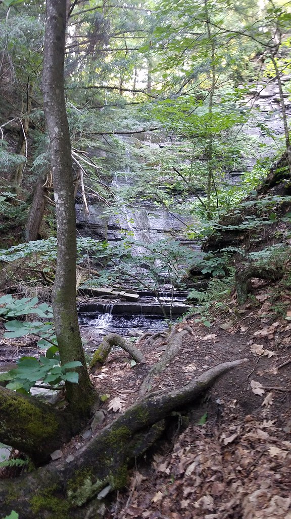 Photo: ke9tv, CC BY-SA 2.0 (via Flickr)
Highland Trail (Yellow)
Next door
0.84-mile point-to-point trail in New York with 259 ft gain
HIKE
X-C Ski Trail (Yellow)
~8 min drive
Easy 1.54-mile out-and-back cross-country ski trail in New York.
 Photo: ke9tv, CC BY-SA 2.0 (via Flickr)
South Rim Trail
~1 min drive
2.08-mile point-to-point trail in New York with 706 ft gain
HIKE
Yellow Trail
~9 min drive
0.32-mile point-to-point trail in New York with 1 ft gain.
Photo: ke9tv, CC BY-SA 2.0 (via Flickr)Orange Trail (Unofficial)
~1 min drive
0.47-mile point-to-point trail in New York with 355 ft gain
HIKE
White Trail
~13 min drive
0.67-mile point-to-point trail in New York with 263 ft elevation gain
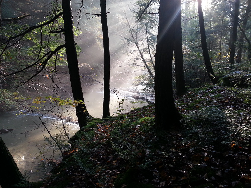 Photo: ke9tv, CC BY-SA 2.0 (via Flickr)
R
~2 min drive
R is a 0.30-mile point-to-point trail in New York with 66 ft of elevation gain.
Map and trail data © OpenStreetMap contributors
