Green Trail
- 1.6 mi
- loop
- 209 ft
- climb
- 770 ft
- high point
- Loop
- route
- May–Jun, Aug–Oct
- best months
Green Trail is an easy hike of about 1.6 miles on Shaupeneak Ridge in New York, managed by a non-governmental organization. The route gains about 209 feet in elevation, with the steepest stretch at roughly 0.67 miles in, where the grade reaches 17 percent. The trail starts at about 733 feet and reaches a high point of 770 feet. For comfortable weather, aim for late spring or early fall. Typical averages from a nearby weather station in Rhinebeck show May highs around 73°F and September highs around 77°F, though that station sits well below the trail, so temperatures on the ridge run cooler. Several other trails lie close by. Blue Trail is about 0.2 miles away, Yellow Trail about 0.4 miles, and Orange Trail about 0.5 miles. Hyde Park Boulders, a climbing area, is about 5.6 miles off.
Local outfitters
- Catskill Outfitters22 mi away
Not on Roamze yet. Their page has how to reach them.
Best time to go · May–Jun, Aug–Oct
Best time to visit Green Trail
Best months: May–June and August–October. Best months have typical highs of 55–85 °F, lows of 30 °F or warmer (32 °F where the station doesn't record snow), at most one snowy day and no more than 12 wet days.
Jan
37° / 11°
11 wet
Feb
40° / 12°
8 wet
Mar
49° / 20°
11 wet
Apr
62° / 31°
11 wet
May
73° / 43°
12 wet
Jun
81° / 51°
11 wet
Jul
86° / 56°
10 wet
Aug
84° / 55°
10 wet
Sep
77° / 47°
10 wet
Oct
65° / 35°
11 wet
Nov
53° / 26°
10 wet
Dec
42° / 17°
11 wet
Typical high / low (°F) and days with rain or snow, 1991–2020. Measured at Rhinebeck 4se, NY, 7.3 mi away at 301 ft. This station doesn't record snowfall. Source: NOAA NCEI U.S. Climate Normals 1991–2020.
Keep exploring — more trails worth the drive
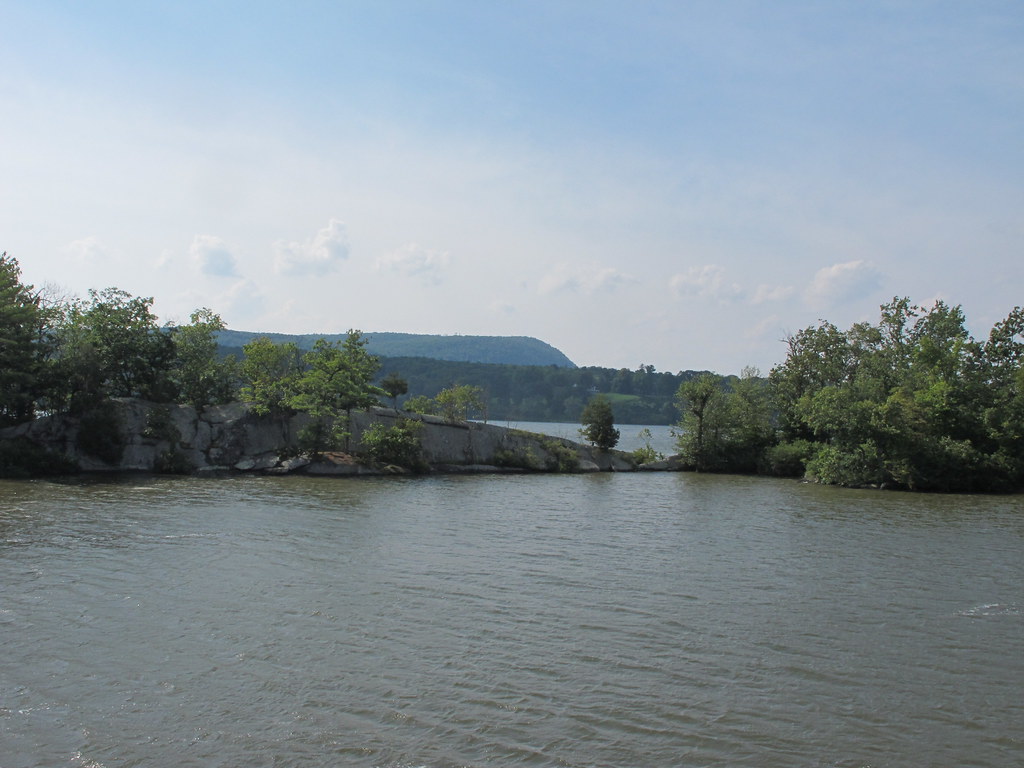 Photo: kenner116, CC BY 2.0 (via Flickr)
Yellow Trail
~4 min drive
0.68-mile point-to-point trail in New York with 168 ft gain
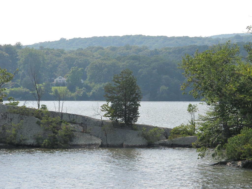 Photo: kenner116, CC BY 2.0 (via Flickr)
Red Trail
~4 min drive
0.61-mile point-to-point trail in New York with 39 ft gain
 Photo: New York Public Library, No restrictions (via Wikimedia Commons)
Hudson Valley Greenway Trail (Kingston)
~8 min drive
6.57-mile point-to-point trail in New York with 639 ft elevation gain.
Photo: kenner116, CC BY 2.0 (via Flickr)Blue Trail
~5 min drive
0.59-mile point-to-point trail in New York with 251 ft gain.
HIKE
Yellow Trail
Next door
0.31-mile point-to-point trail in New York with 62 ft gain.
 Photo: kenner116, CC BY 2.0 (via Flickr)
Bard Rock Trail
~7 min drive
0.82-mile out-and-back trail with 145 ft gain in New York.
HIKE
Orange Trail
Next door
1.38-mile out-and-back trail in New York with 1,880 ft gain.
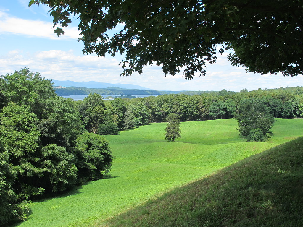 Photo: kenner116, CC BY 2.0 (via Flickr)
Vanderbilt Overlook trail
~7 min drive
0.78-mile out-and-back trail in New York managed by the National Park Service
HIKE
Ridge Trail
~6 min drive
0.90-mile point-to-point trail in New York with 221 ft elevation gain.
 Photo: New York Public Library, No restrictions (via Wikimedia Commons)
Farm Road
~12 min drive
0.43-mile point-to-point trail in New York with 178 ft gain
Map and trail data © OpenStreetMap contributors
