Camp Wabenaki
Campground
Campground · 7.3 mi from the trail
Goose Pond Mountain Trail is a moderate, out-and-back hike of about 5.8 miles in New York's Goose Pond Mountain State Park. The trail climbs from a low of about 437 feet to a high of 1,065 feet, with a total elevation gain of about 1,611 feet over the round trip. The trail is managed by New York's State Park and Recreation agency. The climb is steepest at about 2.1 miles in, where the grade reaches 21 percent. The route is roughly 2.9 miles as the crow flies from the trailhead. Summer and early fall are the most comfortable times to go. Typical averages from a nearby weather station at Middletown run to highs around 78°F in June and 73°F in September. That station sits about 365 feet lower than the trail's high point, so temperatures on the summit run a little cooler. The hike takes about 2.5 hours. The Chester Commons Hiking Trail is about 1.5 miles away, and the Highlands Trail is about 3.5 miles away. For paddling, Cromline Creek is about 4.3 miles away and Wawayanda Creek about 7.7 miles away.
Camp Wabenaki
Campground
Tin Barn
Brewery
 If it rainsDoug Kerr from Albany, NY, United States, CC BY-SA 2.0 · Wikimedia Commons
Open-air museum and sculpture park located in Mountainville, New York
Places © OpenStreetMap contributors · Photos: Doug Kerr from Albany, NY, United States, CC BY-SA 2.0 (commons)
More in New WindsorNot on Roamze yet. Their page has how to reach them.
Daily highs and lows, wind and the chance of precipitation at the summit and route start for the next 7 days, from the Open-Meteo model.
 Highlands TrailHikingPhoto: daveclausen, CC BY 2.0 (via Flickr)3.5 mi
 Wawayanda CreekCanoeingPhoto: PointsofNoReturn, CC BY-SA 4.0 (via Wikimedia Commons)7.7 mi
Source: Roamze catalog (indexable pages within 10 miles, PostGIS distance)
Highlands TrailHiking · ~6 min drivePhoto: daveclausen, CC BY 2.0 (via Flickr) AllisHiking · ~11 min drivePhoto: Zeete, CC BY-SA 4.0 (via Wikimedia Commons)Sterling RidgeHiking · ~11 min drivePhoto: Zeete, CC BY-SA 4.0 (via Wikimedia Commons)
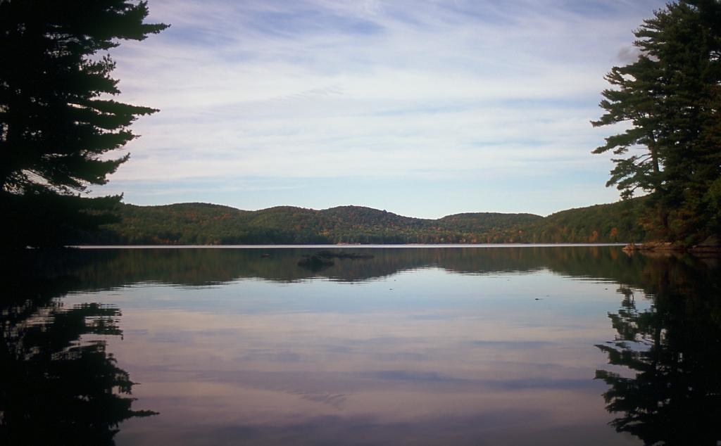 Pine MeadowHiking · ~14 min drivePhoto: rpkelly22, CC BY-SA 2.0 (via Flickr)
 Long Meadow ExtnesionHiking · ~10 min drivePhoto: rpkelly22, CC BY-SA 2.0 (via Flickr)
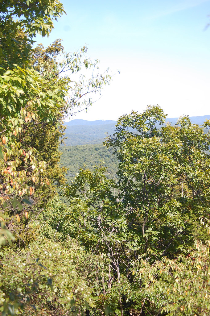 Sterling Valley LoopHiking · ~11 min drivePhoto: LukeGordon1, CC BY 2.0 (via Flickr)
 Bare Rock TrailHiking · ~14 min drivePhoto: rpkelly22, CC BY-SA 2.0 (via Flickr)
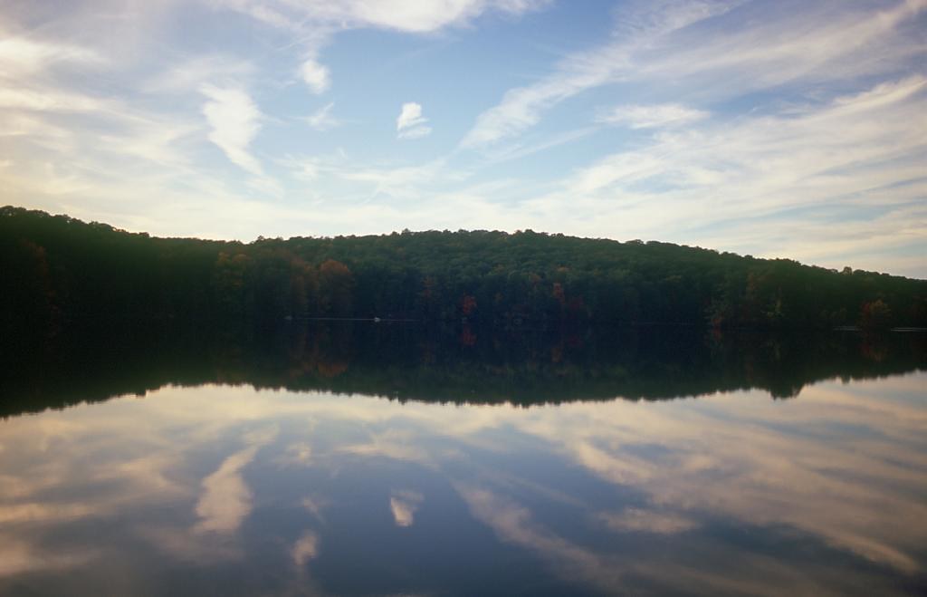 Townsend TrailHiking · ~10 min drivePhoto: rpkelly22, CC BY-SA 2.0 (via Flickr)
Best months: April–October. Best months have typical highs of 55–85 °F, lows of 30 °F or warmer (32 °F where the station doesn't record snow), at most one snowy day and no more than 12 wet days.
Jan
34° / 18°
8 wet
Feb
37° / 18°
7 wet
Mar
47° / 26°
8 wet
Apr
60° / 38°
9 wet
May
70° / 48°
11 wet
Jun
78° / 57°
10 wet
Jul
82° / 62°
9 wet
Aug
81° / 60°
9 wet
Sep
73° / 53°
8 wet
Oct
62° / 43°
8 wet
Nov
50° / 33°
8 wet
Dec
39° / 24°
9 wet
Typical high / low (°F) and days with rain or snow, 1991–2020. Measured at Middletown 2 Nw, NY, 13.8 mi away at 700 ft. This station doesn't record snowfall. Source: NOAA NCEI U.S. Climate Normals 1991–2020.
About 2.9 mi round trip.
About 1,611 ft of climbing round trip.
It is rated moderate.
About 1.5 hours round trip.
Map and trail data © OpenStreetMap contributors
