Camp Wabenaki
Campground
Campground · 5.4 mi from the trail
 Photo: daveclausen, CC BY 2.0 (via Flickr)
Highlands Trail is a long, point-to-point hike in New York, about 2 miles from the small community of Dutch Hollow. The route stretches roughly 77 miles, rising from a starting elevation of about 740 feet to a high point of 1,607 feet, with a total elevation gain of about 13,200 feet. It is rated easy, and the trail is not open to horses or bikes. Late spring and early fall are the most comfortable times to go. Typical averages from a nearby weather station in Middletown run to highs around 70°F in May and 73°F in September, while July highs reach about 82°F. That station sits roughly 900 feet lower than the trail's high point, so temperatures on the higher ground run cooler. The Doris Duke Trail lies about 1.3 miles away, and the Allis and Sterling Ridge hikes are each about 3 miles off. Paddlers can find Wawayanda Creek about 6 miles away.
Camp Wabenaki
Campground
Rusty Knife Pub
Pub
 If it rainsDoug Kerr from Albany, NY, United States, CC BY-SA 2.0 · Wikimedia Commons
Open-air museum and sculpture park located in Mountainville, New York
Places © OpenStreetMap contributors · Photos: Doug Kerr from Albany, NY, United States, CC BY-SA 2.0 (commons)
More in New WindsorNot on Roamze yet. Their page has how to reach them.
Best months: April–October. Best months have typical highs of 55–85 °F, lows of 30 °F or warmer (32 °F where the station doesn't record snow), at most one snowy day and no more than 12 wet days.
Jan
34° / 18°
8 wet
Feb
37° / 18°
7 wet
Mar
47° / 26°
8 wet
Apr
60° / 38°
9 wet
May
70° / 48°
11 wet
Jun
78° / 57°
10 wet
Jul
82° / 62°
9 wet
Aug
81° / 60°
9 wet
Sep
73° / 53°
8 wet
Oct
62° / 43°
8 wet
Nov
50° / 33°
8 wet
Dec
39° / 24°
9 wet
Typical high / low (°F) and days with rain or snow, 1991–2020. Measured at Middletown 2 Nw, NY, 16.4 mi away at 700 ft. The station sits about 900 ft lower than this place, so expect it a little cooler here. This station doesn't record snowfall. Source: NOAA NCEI U.S. Climate Normals 1991–2020.
 Photo: Zeete, CC BY-SA 4.0 (via Wikimedia Commons)
Allis
~5 min drive
3.73-mile out-and-back trail in New York with 635 ft gain.
Photo: Zeete, CC BY-SA 4.0 (via Wikimedia Commons)Sterling Ridge
~5 min drive
5.83-mile out-and-back trail in New York with 769 ft elevation gain.
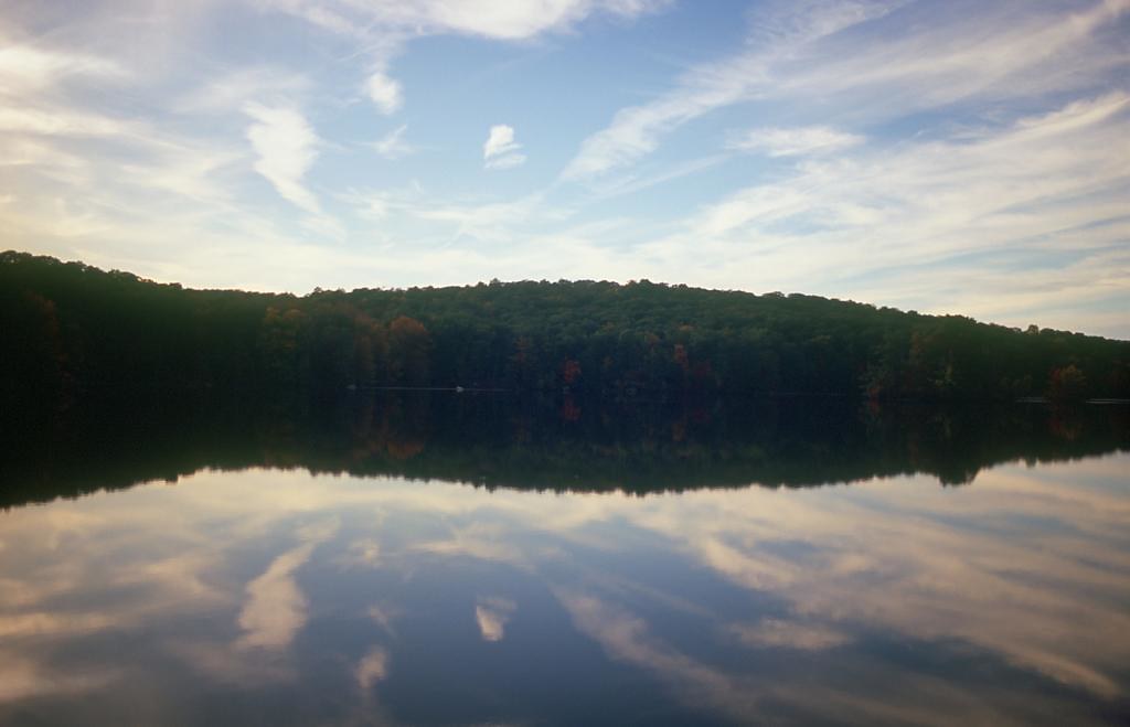 Photo: rpkelly22, CC BY-SA 2.0 (via Flickr)
Townsend Trail
~6 min drive
2.14-mile point-to-point trail in New York with 777 ft elevation gain
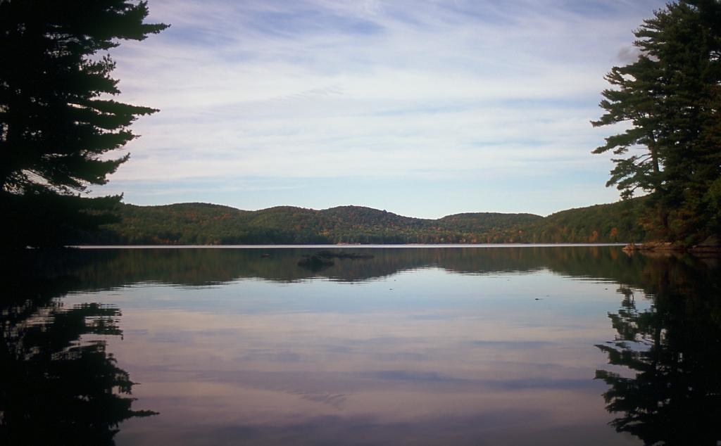 Photo: rpkelly22, CC BY-SA 2.0 (via Flickr)
Pine Meadow
~8 min drive
7.49-mile out-and-back trail in New York State Park and Recreation land.
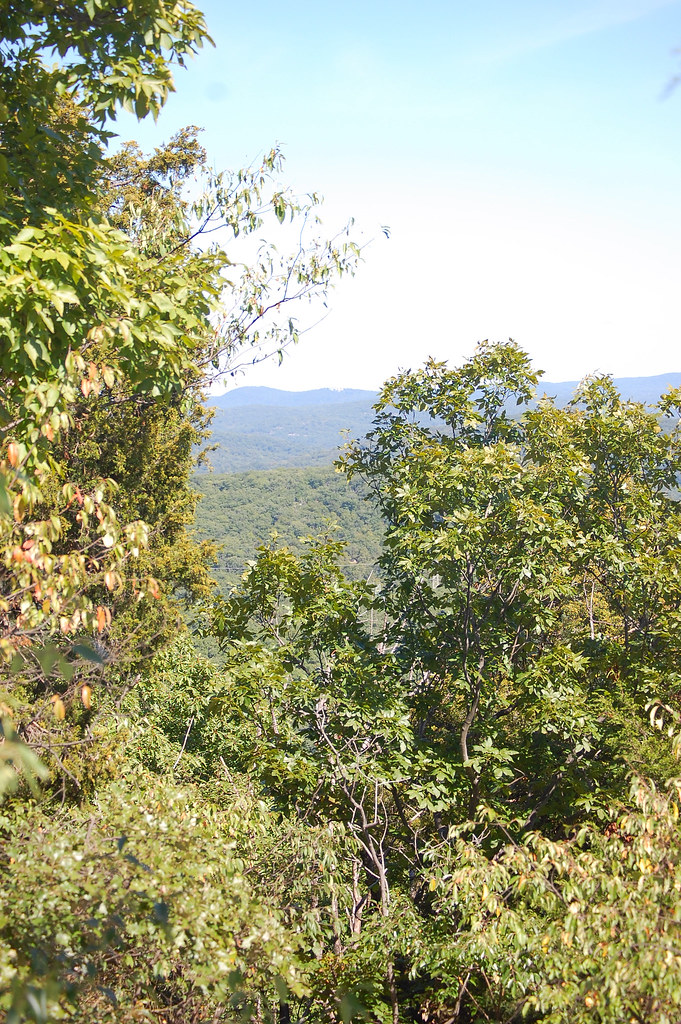 Photo: LukeGordon1, CC BY 2.0 (via Flickr)
Sterling Valley Loop
~5 min drive
Sterling Valley Loop is a 4.90-mile out-and-back trail in New York with 805 feet of elevation gain.
 Photo: rpkelly22, CC BY-SA 2.0 (via Flickr)
Bare Rock Trail
~8 min drive
Point-to-point NY trail featuring exposed rock outcrops and scenic vistas.
Photo: rpkelly22, CC BY-SA 2.0 (via Flickr)Long Meadow Extension
~6 min drive
Gentle 1.90-mile point-to-point meadow walk in New York.
 Photo: History tower, CC BY-SA 3.0 (via Wikimedia Commons)
Fire Tower Connector Trail
~9 min drive
0.47-mile point-to-point trail in New York with 235 ft elevation loss.
HIKE
Wildcat Mountain Trail
~8 min drive
Short point-to-point mountain hike with scenic views near Wildcat Mountain.
 Photo: rpkelly22, CC BY-SA 2.0 (via Flickr)
Long Meadow Extnesion
~6 min drive
0.88-mile out-and-back trail in New York with 267 ft elevation gain.
Also worth it near here
Map and trail data © OpenStreetMap contributors
