Erie Canalway Trail (Chittenango to Erie Canal Lock 21)
- 6.4 mi
- one way
- 12 ft
- climb
- 446 ft
- high point
- Point to point
- route
- Jun–Sep
- best months
Clear at last check
Weather is good · OpenWeather · checked 19 h ago
The Erie Canalway Trail from Chittenango to Erie Canal Lock 21 is a 6.4-mile point-to-point route in New York, starting in Canastota and ending at Lock 21. The trail is rated moderate, with a total elevation gain of about 12 feet, so it's a mostly flat ride or walk with a slight climb along the way. The route is open to both bikes and horses, which makes it a flexible option for riders and equestrians. The steepest stretch comes at about 1.4 miles in, with a grade of about 3 percent. The trail runs from roughly 433 feet to 446 feet in elevation, so the climb is minimal. For comfortable weather, aim for late spring through early fall. Typical averages from a nearby weather station in Syracuse show highs around 69°F in May and 73°F in September, with July peaking near 82°F. Old Erie Canal State Historic Park sits just 0.1 mile away, and the Erie Canal - Broad St To State Rte 31 Near Canastota section is about 4.9 miles off. Wetland Trail and Hogs Back Trail are both within about 7 miles.
Best time to go · Jun–Sep
Best time to visit Erie Canalway Trail (Chittenango to Erie Canal Lock 21)
Best months: June–September. Best months have typical highs of 55–85 °F, lows of 30 °F or warmer (32 °F where the station doesn't record snow), at most one snowy day and no more than 12 wet days.
Jan
32° / 16°
19 wet
Feb
34° / 18°
16 wet
Mar
42° / 25°
16 wet
Apr
56° / 36°
14 wet
May
69° / 47°
13 wet
Jun
77° / 57°
12 wet
Jul
82° / 62°
12 wet
Aug
80° / 60°
11 wet
Sep
73° / 53°
11 wet
Oct
60° / 42°
15 wet
Nov
48° / 33°
16 wet
Dec
37° / 24°
18 wet
Typical high / low (°F) and days with rain or snow, 1991–2020. Measured at Syracuse Hancock Intl Ap, NY, 18 mi away at 413 ft. This station doesn't record snowfall. Source: NOAA NCEI U.S. Climate Normals 1991–2020.
Keep exploring — more trails worth the drive
 Photo: Russ Nelson, CC BY-SA 2.0 (via Flickr)
Erie Canal - Broad St To State Rte 31 Near Canastota
~8 min drive
4.52-mile out-and-back trail on Erie Canal from Broad St to State Rte 31 near Canastota, New York
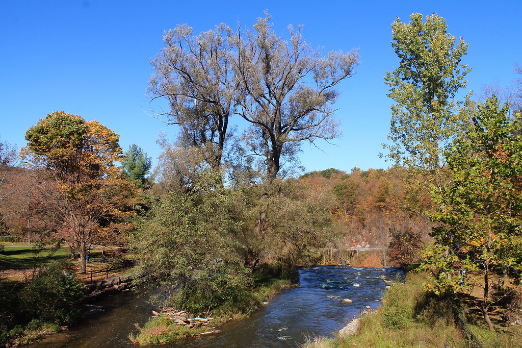 Photo: andyarthur, CC BY 2.0 (via Flickr)
Lehigh Valley Railroad (Link Trail)
~16 min drive
14.29-mile out-and-back trail in New York with 892 ft gain
 Photo: edt11x, CC BY 2.0 (via Flickr)
Old Growth Trail
~20 min drive
0.45-mile out-and-back hike in New York with 53 ft gain and 170 ft loss.
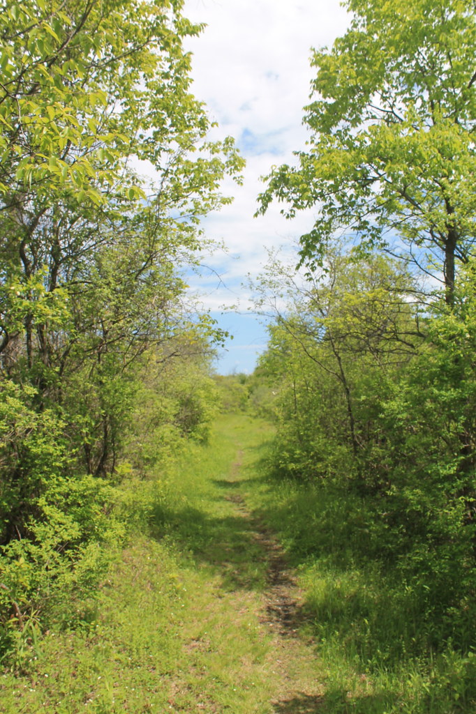 Photo: andyarthur, CC BY 2.0 (via Flickr)
Link Trail
~23 min drive
Demanding 15.8-mile out-and-back trail in New York for experienced hikers.
Photo: andyarthur, CC BY 2.0 (via Flickr)Gorge Trail - Link Trail
~16 min drive
4.78-mile out-and-back hike in New York with 957 ft gain
HIKE
Old Erie Canal State Historic Park
Next door
32.17-mile point-to-point trail in New York with 414 ft elevation gain.
 Photo: javajoe6, CC BY-SA 3.0 (via Wikimedia Commons)
Flt - O2 Ny 13 To Smith Rd
~28 min drive
0.98-mile out-and-back trail in New York with 187 ft gain and 629 ft loss.
HIKE
Link Trail
~26 min drive
12-mile point-to-point trail through New York's scenic backcountry.
 Photo: daveynin, CC BY 2.0 (via Flickr)
Green Lake Trail
~19 min drive
0.60-mile out-and-back trail at Green Lake in New York.
HIKE
Erie Canalway Trail (Rome to Utica)
~30 min drive
16.49-mile point-to-point trail from Rome to Utica, New York.
Map and trail data © OpenStreetMap contributors
