Dunning Pond Trail
- 1.0 mi
- round trip
- 503 ft
- climb
- 1,464 ft
- high point
- Out and back
- route
Dunning Pond Trail is a 1-mile out-and-back hike in New York, about 2.8 miles from the town of Griffin. The route is rated easy, with a one-way climb of about 408 feet and a total round-trip gain of about 503 feet. The trail rises from a low point of 1,151 feet to a high of 1,464 feet, and the steepest stretch comes near the start, around 0.47 miles in, with a grade of about 11%. Summer is the most comfortable time to go. Typical averages from a nearby weather station run to highs around 75°F in July and 73°F in August, with lows in the mid-50s. Winters are cold, with January highs near 25°F. Several other trails sit within a few miles, including Forks Mountain Trail at about 2.5 miles, Pine Orchard Trail at about 2.6 miles, and the Griffin Connector trail at about 2.6 miles. For paddling, the Sacandaga River is about 5.3 miles away.
Local outfitters
- Great Camp Sagamore29 mi away
- Cloudsplitter Outfitters37 mi away
Not on Roamze yet. Their page has how to reach them.
 Forks mountain trailHikingPhoto: andyarthur, CC BY 2.0 (via Flickr)2.5 mi
- Pine Orchard trailHiking2.6 mi
- Griffin Connector trailHikingPhoto: andyarthur, CC BY 2.0 (via Flickr)2.6 mi
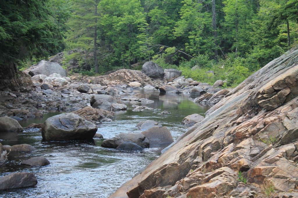 Extract Brook pathHikingPhoto: andyarthur, CC BY 2.0 (via Flickr)3.2 mi
 Sacandaga RiverCanoeingPhoto: JJBers, CC BY-SA 4.0 (via Wikimedia Commons)5.3 mi
- Shanty Sports ArenaRock climbing8.4 mi
- Shanty CliffRock climbing8.4 mi
- Main CliffRock climbing8.5 mi
Source: Roamze catalog (indexable pages within 10 miles, PostGIS distance)
- Forks mountain trailHiking · ~4 min drivePhoto: andyarthur, CC BY 2.0 (via Flickr)
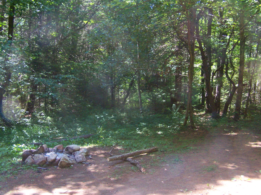 Coulombe Creek trailHiking · ~8 min drivePhoto: andyarthur, CC BY 2.0 (via Flickr)
 Murphy lake pathHiking · ~8 min drivePhoto: andyarthur, CC BY 2.0 (via Flickr)
- French Louis TrailHiking · ~26 min drive
- Griffin Connector trailHiking · ~5 min drivePhoto: andyarthur, CC BY 2.0 (via Flickr)
 Wilcox Lake - Willis Lake TrailHiking · ~10 min drivePhoto: andyarthur, CC BY 2.0 (via Flickr)
- Piseco-Perkins Clearing TrailHiking · ~24 min drive
- Extract Brook pathHiking · ~5 min drivePhoto: andyarthur, CC BY 2.0 (via Flickr)
 Tenant Creek Falls trailHiking · ~12 min drivePhoto: Andy Arthur, CC BY 2.0 (via Wikimedia Commons)
- East Branch Sacandaga River TrailHiking · ~27 min drive
Best time to visit Dunning Pond Trail
No month here meets our mild-weather rule. Best months have typical highs of 55–85 °F, lows of 30 °F or warmer (32 °F where the station doesn't record snow), at most one snowy day and no more than 12 wet days.
Jan
25° / 6°
17 wet
Feb
28° / 7°
14 wet
Mar
36° / 15°
14 wet
Apr
49° / 28°
14 wet
May
63° / 40°
16 wet
Jun
71° / 49°
15 wet
Jul
75° / 54°
15 wet
Aug
73° / 53°
13 wet
Sep
67° / 45°
13 wet
Oct
54° / 35°
16 wet
Nov
41° / 25°
16 wet
Dec
31° / 14°
17 wet
Typical high / low (°F) and days with rain or snow, 1991–2020. Measured at Indian Lake 2sw, NY, 21.8 mi away at 1,670 ft. This station doesn't record snowfall. Source: NOAA NCEI U.S. Climate Normals 1991–2020.

Map and trail data © OpenStreetMap contributors
