Doctor Holt Trail (Red)
- 0.6 mi
- loop
- 126 ft
- climb
- 735 ft
- high point
- Loop
- route
- Apr–Oct
- best months
Clear today
Weather is good · OpenWeather · checked 2 h ago
Doctor Holt Trail (Red) is a short, easy loop hike on Mohawk Hudson Land Conservancy land in New York, about 1.4 miles from Tarrytown. The trail is 0.62 miles long, with a total elevation gain of 126 feet and a total loss of 105 feet. It is a back-loaded climb, with the steepest stretch at about 0.16 miles in, where the grade reaches 8 percent. Summer is the most comfortable time to go. Typical averages from the nearby Alcove Dam weather station show July highs around 79°F and lows near 59°F, while winter highs stay near freezing. Several other trails sit close by. Helderberg Overlook Trail (Blue) and Boundary Trail (Green) are each about 0.3 miles away, and Loop Trail (Yellow) is about 0.4 miles away. Climbers can find Sunset Wall about 9 miles off.
Local outfitters
- Catskill Outfitters38 mi away
Not on Roamze yet. Their page has how to reach them.
Best time to go · Apr–Oct
Best time to visit Doctor Holt Trail (Red)
Best months: April–October. Best months have typical highs of 55–85 °F, lows of 30 °F or warmer (32 °F where the station doesn't record snow), at most one snowy day and no more than 12 wet days.
Jan
32° / 13°
11 wet
Feb
34° / 13°
9 wet
Mar
43° / 22°
10 wet
Apr
56° / 34°
11 wet
May
68° / 45°
12 wet
Jun
75° / 54°
12 wet
Jul
79° / 59°
12 wet
Aug
78° / 57°
12 wet
Sep
71° / 50°
11 wet
Oct
59° / 39°
11 wet
Nov
47° / 29°
10 wet
Dec
37° / 21°
11 wet
Typical high / low (°F) and days with rain or snow, 1991–2020. Measured at Alcove Dam, NY, 5.2 mi away at 607 ft. This station doesn't record snowfall. Source: NOAA NCEI U.S. Climate Normals 1991–2020.
Keep exploring — more trails worth the drive
 Photo: andyarthur, CC BY 2.0 (via Flickr)
White Tailed Deer Trail
~2 min drive
2.32-mile out-and-back hike in New York with 423 ft elevation gain
 Photo: Dougtone, CC BY-SA 2.0 (via Wikimedia Commons)
Yellow Trail
~13 min drive
Quick point-to-point trail under 1 mile in New York.
 Photo: ke9tv, CC BY-SA 2.0 (via Flickr)
Yellow Trail
~4 min drive
0.88-mile loop trail in New York with 196 ft gain
 Photo: Henry Bellagnome from Troy, New York, United States, CC BY-SA 2.0 (via Wikimedia Commons)
Town of Bethlehem Water Pipeline Path
~14 min drive
9.73-mile point-to-point water pipeline trail in New York with 799 ft elevation gain.
 Photo: andyarthur, CC BY 2.0 (via Flickr)
Red Trail
~4 min drive
0.64-mile out-and-back trail in New York with 265 ft elevation gain
 Photo: andyarthur, CC BY 2.0 (via Flickr)
Green Trail
~4 min drive
0.95-mile out-and-back hike in New York with 562 ft gain
Photo: Dougtone, CC BY-SA 2.0 (via Wikimedia Commons)Orange Trail
~13 min drive
0.52-mile point-to-point trail in New York with 185 ft elevation loss
Photo: Dougtone, CC BY-SA 2.0 (via Wikimedia Commons)Blue Loop Trail
~14 min drive
1.51-mile loop trail in New York with 306 ft elevation gain.
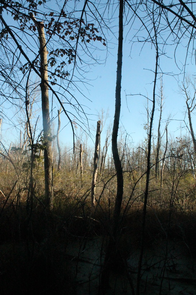 Photo: andyarthur, CC BY 2.0 (via Flickr)
Yellow Trail
~14 min drive
3.24-mile out-and-back trail in New York with 775 ft elevation gain
 Photo: rik-shaw from Albany, New York, USA, CC BY 2.0 (via Wikimedia Commons)
White Trail
~14 min drive
1.24-mile loop in New York with 240 ft elevation gain
Map and trail data © OpenStreetMap contributors
