Bennett Hill
- 1,143 ft
- summit
- 3
- ways up
- Apr–Oct
- best months
Bennett Hill is a summit in New York, rising to 1,143 feet. The nearest town is Voorheesville, about 6 miles away. Summer is the most comfortable time to visit. Typical averages from a nearby weather station at Alcove Dam show July highs around 79°F with lows near 59°F, and the summit sits higher than that station, so temperatures on top run cooler. The Red Trail and Yellow Trail both start about 0.2 miles from the summit, and the Green Trail is about half a mile away. Climbers can find Sunset Wall roughly 7 miles off.
Conditions and forecast
Daily highs and lows, wind and the chance of precipitation at the summit and route start for the next 7 days, from the Open-Meteo model.
- Summit elevation
- 1,143 ft
Elevation from USGS 3D Elevation Program terrain data (about 10 m resolution).
- Red TrailEasyabout 577 ft of climbing1.3 mi round trip
- Yellow TrailEasyabout 13 ft of climbing0.9 mi
- Green TrailEasyabout 538 ft of climbing1.9 mi round trip
Compare the routes Red Trail Yellow Trail Green Trail Climbing About 577 ft About 13 ft About 538 ft Round trip 1.3 mi 0.9 mi 1.9 mi Difficulty Easy Easy Easy Terrain Hike Hike Hike Map © Mapbox © OpenStreetMap contributors Questions about Bennett Hill
How tall is Bennett Hill?
1,143 ft (348 m).
How many routes go to the summit of Bennett Hill?
3: Red Trail, Yellow Trail and Green Trail.
What is the shortest route up Bennett Hill?
Yellow Trail, about 0.9 mi.
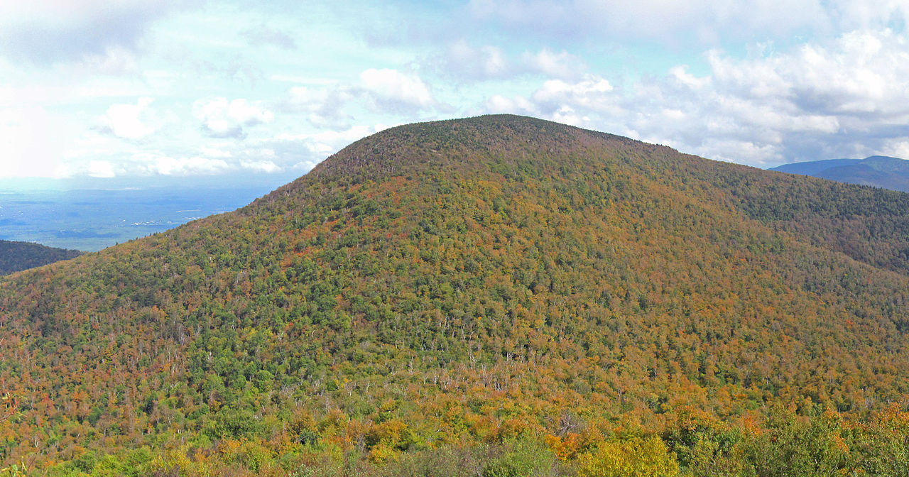 Blackhead3,937 ft · New York1 route22 mi awayPhoto: Kevin Kenny from Niskayuna, NY, Schenectady. Cropped and color-corrected prior to upload by Daniel Case, CC BY-SA 2.0 (via Wikimedia Commons)
 Black Dome3,993 ft · New York1 route22 mi awayPhoto: MTBradley, CC BY 3.0 (via Wikimedia Commons)
 Thomas Cole Mountain3,947 ft · New York1 route22 mi awayPhoto: Matthew T. Bradley, CC BY 2.0 (via Wikimedia Commons)
- Huntersfield Mountain3,423 ft · New York2 routes24 mi away
- Church Hill483 ft · New York1 route25 mi away
- Onteora Mountain3,224 ft · New York1 route26 mi away
 Red TrailHikingPhoto: andyarthur, CC BY 2.0 (via Flickr)0.2 mi
 Yellow TrailHikingPhoto: ke9tv, CC BY-SA 2.0 (via Flickr)0.2 mi
 Green TrailHikingPhoto: andyarthur, CC BY 2.0 (via Flickr)0.5 mi
- Orange TrailHiking2 mi
 Sunset WallRock climbingPhoto: Dougtone, CC BY-SA 2.0 (via Wikimedia Commons)7.1 mi
- Horseshoe North CliffRock climbing7.1 mi
- Fossil WallRock climbing7.1 mi
- Dark BlockRock climbing7.1 mi
Source: Roamze catalog (indexable pages within 10 miles, PostGIS distance)
- BlackheadSummit · ~37 min drivePhoto: Kevin Kenny from Niskayuna, NY, Schenectady. Cropped and color-corrected prior to upload by Daniel Case, CC BY-SA 2.0 (via Wikimedia Commons)
- Black DomeSummit · ~38 min drivePhoto: MTBradley, CC BY 3.0 (via Wikimedia Commons)
- Thomas Cole MountainSummit · ~38 min drivePhoto: Matthew T. Bradley, CC BY 2.0 (via Wikimedia Commons)
 North MountainSummit · ~42 min drivePhoto: Daniel Case, CC BY-SA 3.0 (via Wikimedia Commons)
 South MountainSummit · ~45 min drivePhoto: Mark Fickett, CC BY 3.0 (via Wikimedia Commons)
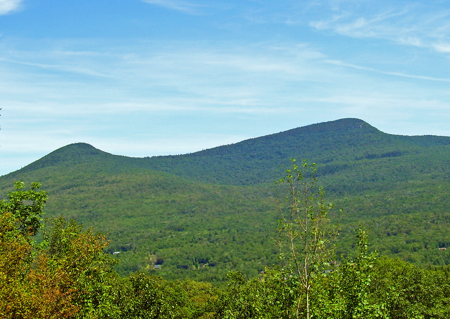 High PeakSummit · ~49 min drivePhoto: Daniel Case, CC BY-SA 3.0 (via Wikimedia Commons)
 Rusk MountainSummit · ~51 min drivePhoto: Onteora12, CC BY-SA 3.0 (via Wikimedia Commons)
 Hunter MountainSummit · ~51 min drivePhoto: The original uploader was Daniel Case at English Wikipedia., CC BY-SA 3.0 (via Wikimedia Commons)
 Evergreen MountainSummit · ~52 min drivePhoto: Daniel Case, CC BY-SA 3.0 (via Wikimedia Commons)
 Plateau MountainSummit · ~54 min drivePhoto: Daniel Case, CC BY-SA 3.0 (via Wikimedia Commons)
Best time to visit Bennett Hill
Best months: April–October. Best months have typical highs of 55–85 °F, lows of 30 °F or warmer (32 °F where the station doesn't record snow), at most one snowy day and no more than 12 wet days.
Jan
32° / 13°
11 wet
Feb
34° / 13°
9 wet
Mar
43° / 22°
10 wet
Apr
56° / 34°
11 wet
May
68° / 45°
12 wet
Jun
75° / 54°
12 wet
Jul
79° / 59°
12 wet
Aug
78° / 57°
12 wet
Sep
71° / 50°
11 wet
Oct
59° / 39°
11 wet
Nov
47° / 29°
10 wet
Dec
37° / 21°
11 wet
Typical high / low (°F) and days with rain or snow, 1991–2020. Measured at Alcove Dam, NY, 6.8 mi away at 607 ft. The station sits about 500 ft lower than this place, so expect it a little cooler here. This station doesn't record snowfall. Source: NOAA NCEI U.S. Climate Normals 1991–2020.
