Bouchoux Trail
 Photo: Dougtone, CC BY-SA 2.0 (via Wikimedia Commons)
- 0.9 mi
- round trip
- 708 ft
- climb
- 1,388 ft
- high point
- Out and back
- route
- Apr–Oct
- best months
Is Bouchoux Trail open right now?
No closures listed
The National Park Service lists no closures for Upper Delaware Scenic and Recreational River.
As of · Source: NPS · Upper Delaware Scenic and Recreational River. Agencies don't list every closure — check before you go.
The Bouchoux Trail is a short, easy out-and-back hike in New York, set within the Upper Delaware Scenic and Recreational River. The route is 1.7 miles long, with a total climb of 708 feet, and it reaches a high point of 1,388 feet. The trail is front-loaded, with the steepest stretch coming about 0.4 miles from the start, where the grade reaches 22%. The low point on the route sits at 871 feet, and the round trip involves as much descent as ascent. Summer is the most comfortable time to go. Typical averages from a nearby weather station at Callicoon put July highs around 80°F with lows near 57°F, while September cools to highs around 71°F. The Delaware River lies about 6.7 miles away, and the O&W Trail is roughly 8 miles off.
Local outfitters
- Catskill Outfitters47 mi away
Not on Roamze yet. Their page has how to reach them.
Source: Roamze catalog (indexable pages within 10 miles, PostGIS distance)
 Mud Pond TrailHiking · ~26 min drivePhoto: andyarthur, CC BY 2.0 (via Flickr)
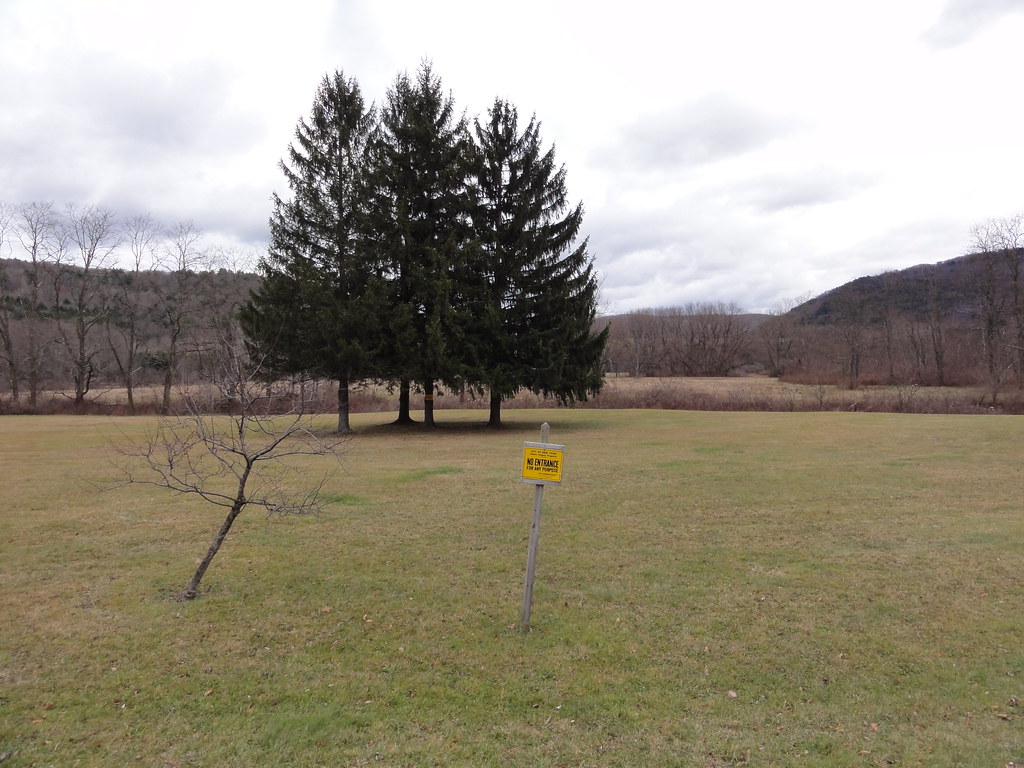 Hog Hollow TrailHiking · ~28 min drivePhoto: ossguy, CC BY-SA 2.0 (via Flickr)
- O&W TrailHiking · ~34 min drive
 Pelnor Hollow TrailHiking · ~34 min drivePhoto: javajoe6, CC BY-SA 3.0 (via Wikimedia Commons)
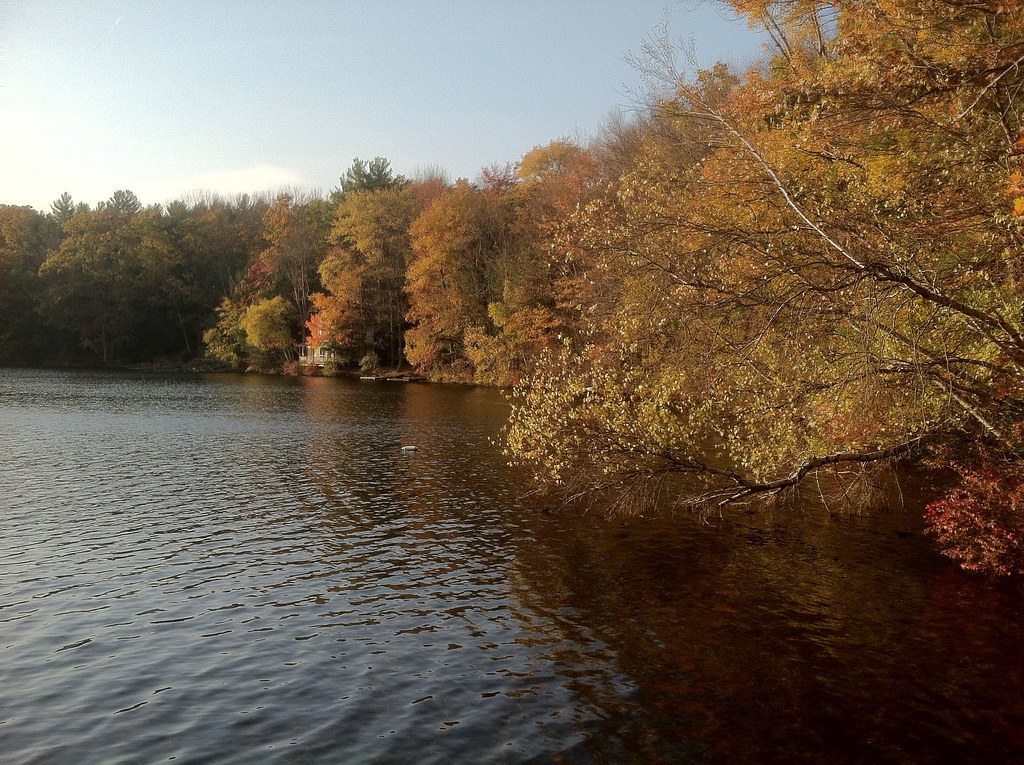 Damascus Forest TrailHiking · ~30 min drivePhoto: GWP Photography, CC BY 2.0 (via Flickr)
 Shavertown TrailHiking · ~41 min drivePhoto: Zilberman-Sands Photography, CC BY 2.0 (via Flickr)
 Tusten Mountain TrailHiking · ~40 min drivePhoto: Kether83, CC BY-SA 4.0 (via Wikimedia Commons)
 Campground TrailHiking · ~44 min drivePhoto: javajoe6, CC BY-SA 3.0 (via Wikimedia Commons)
- Pond LoopHiking · ~41 min drivePhoto: Zilberman-Sands Photography, CC BY 2.0 (via Flickr)
- O&W TrailHiking · ~14 min drive
Best time to visit Bouchoux Trail
Best months: April–October. Best months have typical highs of 55–85 °F, lows of 30 °F or warmer (32 °F where the station doesn't record snow), at most one snowy day and no more than 12 wet days.
Jan
31° / 13°
Feb
34° / 12°
Mar
42° / 21°
Apr
56° / 33°
May
67° / 43°
Jun
75° / 52°
Jul
80° / 57°
Aug
77° / 55°
Sep
71° / 48°
Oct
59° / 37°
Nov
47° / 28°
Dec
36° / 20°
Typical high / low (°F) and days with rain or snow, 1991–2020. Measured at Callicoon Ctr, NY, 12.3 mi away at 1,221 ft. This station doesn't record snowfall. Source: NOAA NCEI U.S. Climate Normals 1991–2020.
