Yellow Red-Dot Trail
- 0.6 mi
- one way
- 11 ft
- climb
- 141 ft
- high point
- Point to point
- route
- Apr–Oct
- best months
Yellow Red-Dot Trail is a short, easy hike in Bethpage State Park in New York, managed by State Park and Recreation. The route is about 0.6 miles long, with a total elevation gain of 11 feet, so it's a gentle walk rather than a climb. The trail starts at about 129 feet and reaches a high point of 141 feet, with the steepest stretch at about 0.34 miles in, where the grade reaches 3%. For comfortable weather, late spring and early fall are the best bets. Typical averages from a nearby weather station in Farmingdale show May highs around 68°F and September highs around 75°F, with September also seeing the fewest wet days of the year. Several other trails sit close by. Red Trail is about 0.1 mile away, Yellow Trail and Yellow Blue-Dotted Trail are each about 0.2 mile away, and Cross Country Trail is about 0.3 mile away.
Local outfitters
- Pier 13 Hoboken29 mi away
Not on Roamze yet. Their page has how to reach them.
Best time to go · Apr–Oct
Best time to visit Yellow Red-Dot Trail
Best months: April–October. Best months have typical highs of 55–85 °F, lows of 30 °F or warmer (32 °F where the station doesn't record snow), at most one snowy day and no more than 12 wet days.
Jan
39° / 25°
10 wet
Feb
41° / 26°
9 wet
Mar
48° / 33°
10 wet
Apr
58° / 42°
11 wet
May
68° / 51°
12 wet
Jun
77° / 61°
11 wet
Jul
83° / 68°
10 wet
Aug
82° / 67°
10 wet
Sep
75° / 60°
8 wet
Oct
64° / 48°
9 wet
Nov
53° / 38°
9 wet
Dec
44° / 31°
11 wet
Typical high / low (°F) and days with rain or snow, 1991–2020. Measured at Farmingdale Ap, NY, 3 mi away at 81 ft. This station doesn't record snowfall. Source: NOAA NCEI U.S. Climate Normals 1991–2020.
Keep exploring — more trails worth the drive
 Photo: falice2781, CC BY 3.0 (via Wikimedia Commons)
Northern Section
~8 min drive
A short point-to-point trail in New York's Northern Section.
 Photo: falice2781, CC BY 3.0 (via Wikimedia Commons)
Central Section
~9 min drive
Quick point-to-point trail under 1 mile in New York.
 Photo: gingi0, CC BY 2.0 (via Flickr)
CLIMB Black Trail "Purple Blazes"
~10 min drive
0.39-mile loop in New York with 42 ft gain and 32 ft loss.
Photo: gingi0, CC BY 2.0 (via Flickr)Old Sierra Club Loop
~10 min drive
A scenic 1.61-mile point-to-point trail through New York woodlands.
 Photo: Russ Nelson, CC BY-SA 2.0 (via Flickr)
CLIMB Blue Trail
~10 min drive
2.18-mile out-and-back trail in New York with 226 ft elevation gain.
Photo: Russ Nelson, CC BY-SA 2.0 (via Flickr)CLIMB Black Trail "Orange Blazes"
~10 min drive
1.32-mile out-and-back trail in New York with 183 ft elevation gain
Photo: gingi0, CC BY 2.0 (via Flickr)CLIMB Black Trail "Pink Blazes"
~10 min drive
0.39-mile loop with 42 ft gain and 62 ft loss in New York.
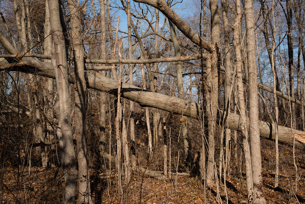 Photo: _jg_, CC BY 2.0 (via Flickr)
Adam D Rand Memorial Trail
~11 min drive
0.86-mile out-and-back trail in New York with 134 ft of elevation gain
HIKE
Red Trail
Next door
A 2-mile point-to-point trail offering accessible hiking in New York.
HIKE
Yellow Trail
Next door
Easy 1.18-mile point-to-point trail in New York.
Map and trail data © OpenStreetMap contributors
