
Turquoise Trail
New Mexico
Map
Byway Details
- Designation
- National Scenic Byway
- Length
- 61 mi in New Mexico
About Turquoise Trail
The Turquoise Trail is a 60.8-mile National Scenic Byway in New Mexico. It also carries designations as a National Forest Scenic Byway and a New Mexico Scenic & Historic Byway, and part of the route crosses national forest land. The drive links a string of small communities: Tijeras, Cedar Crest, San Antonito, Sandia Park, Paa-Ko, Golden, Madrid, Los Cerrillos and Valle Vista. Sandia Park makes a convenient reference point near the route. Late spring and early fall are the most comfortable times to drive. Typical averages from a nearby weather station at Sandia Park run from highs around 73°F with lows near 41°F in May to highs near 77°F with lows around 46°F in September. Winters at that station are cold, with January averaging a high of 44°F and a low of 19°F. The byway also gives access to trails and climbing. The North Crest Trail and Tree Spring are close to the route for hikers. Climbers have walls such as Muralla Grande and Ranger Station Wall nearby.
Scenic byway data: U.S. Department of Transportation, Federal Highway Administration
Facts about this place
When to go
Best time to go: Apr–Oct. The mildest months here, with typical highs of 63–83°F and lows of 34–53°F.
Typical monthly averages (not a forecast) from the Sandia Park, NM weather station, 3.4 mi away. High / low in °F.
- Jan44° high19° low
- Feb48° high22° low
- Mar55° high26° low
- Apr63° high34° low
- May73° high41° low
- Jun83° high49° low
- Jul83° high53° low
- Aug80° high52° low
- Sep77° high46° low
- Oct65° high36° low
- Nov54° high24° low
- Dec43° high18° low
Where it is
- Towns along the route
- Sandia Park · Tijeras · Cedar Crest · San Antonito · Paa-Ko · Golden · Madrid · Los Cerrillos · Valle Vista
Source: USGS GNIS populated places
Nearby
 North Crest TrailHikingPhoto: dconvertini, CC BY-SA 2.0 (via Flickr)0.1 mi
- Ellis TrailCross-country skiing0.1 mi
 Ridge TrailHikingPhoto: Ktr101, CC BY-SA 2.0 (via Flickr)0.1 mi
- Challenge TrailCross-country skiing0.1 mi
- Old Faulty TrailHiking0.1 mi
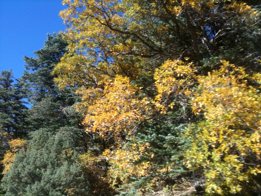 Tree SpringHikingPhoto: Francis Storr, CC BY-SA 2.0 (via Flickr)0.1 mi
- Ranger Station WallRock climbing0.1 mi
- Clandestine WallRock climbingPhoto: dconvertini, CC BY-SA 2.0 (via Flickr)0.2 mi
 TV Station, TheRock climbingPhoto: snowpeak, CC BY 2.0 (via Flickr)0.2 mi
- Santa MariaRock climbing0.2 mi
 TorreonRock climbingPhoto: Francis Storr, CC BY-SA 2.0 (via Flickr)0.3 mi
- Muralla GrandeRock climbingPhoto: dconvertini, CC BY-SA 2.0 (via Flickr)0.3 mi
Source: Roamze catalog (indexable pages within 2 miles of the route, PostGIS distance)
