(two track trail)
- 0.3 mi
- round trip
- Singletrack
- surface
- Out and back
- route
- May–Jul, Sep
- best months
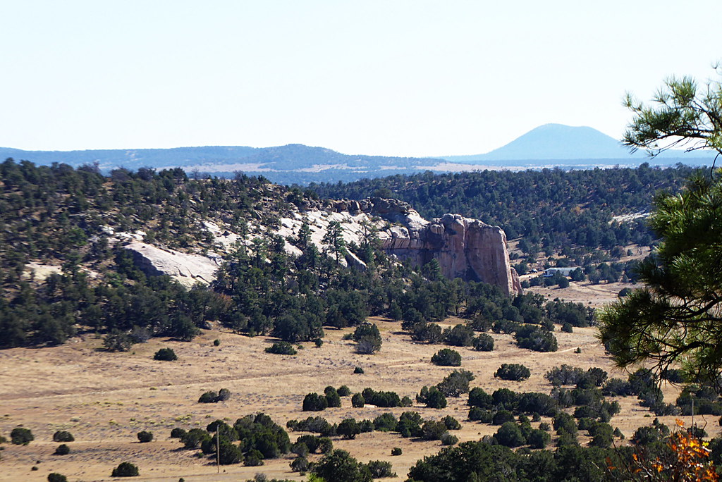
The two-track trail is a short, easy ride on State Trust Land in New Mexico, managed by the State Land Board. The route is an out-and-back of about 0.66 miles, with a high point of 7,041 feet and a low point of 7,034 feet. There is no elevation gain on the way out, so the climb stays flat and the whole trip is easy to fit into a longer ride. Late spring and early fall are the most comfortable times to go. Typical averages from a nearby weather station at El Morro run to highs around 72°F in May and 77°F in September. July and August bring the most wet days, with about 12 to 13 in each month, so plan for more rain in the summer. County Line Trail - BIA 1001 is about 1.5 miles away, and Indian Service Rd. - BIA 137 is about 2.7 miles away. Mountainview Running Trail, a hiking route, is about 5 miles away.
Local outfitters
- El Morro RV Park & Cabins9 mi away
Not on Roamze yet. Their page has how to reach them.
Best time to go · May–Jul, Sep
Best time to visit (two track trail)
Best months: May–July and September. Best months have typical highs of 55–85 °F, lows of 30 °F or warmer (32 °F where the station doesn't record snow), at most one snowy day and no more than 12 wet days.
Jan
44° / 14°
6 wet
Feb
47° / 19°
6 wet
Mar
55° / 23°
6 wet
Apr
64° / 27°
4 wet
May
72° / 34°
4 wet
Jun
83° / 43°
5 wet
Jul
85° / 51°
12 wet
Aug
82° / 50°
13 wet
Sep
77° / 43°
8 wet
Oct
66° / 31°
5 wet
Nov
54° / 21°
5 wet
Dec
44° / 14°
6 wet
Typical high / low (°F) and days with rain or snow, 1991–2020. Measured at El Morro Natl Mon, NM, 7.1 mi away at 7,223 ft. This station doesn't record snowfall. Source: NOAA NCEI U.S. Climate Normals 1991–2020.
Keep exploring — more rides worth the drive
RIDE
(two track trail)
~2 min drive
1.06-mile easy singletrack out-and-back in New Mexico with 14 ft elevation gain.
RIDE
(two track trail)
~13 min drive
0.93-mile out-and-back singletrack in New Mexico with 124 ft elevation gain.
RIDE
County Line Trail - BIA 1001
~3 min drive
4.27-mile easy singletrack in New Mexico with 155 ft elevation gain.
RIDE
(two track trail)
~14 min drive
1.95-mile singletrack out-and-back with 44 ft gain in New Mexico
RIDE
(two track trail)
~3 min drive
2.02-mile easy singletrack in New Mexico with 18 ft of elevation gain.
RIDE
Indian Service Rd. - BIA 137
~5 min drive
0.92-mile out-and-back singletrack in New Mexico with 58 ft elevation gain.
RIDE
(two track trail)
~5 min drive
0.84-mile easy singletrack in New Mexico with 70 ft of elevation gain.
RIDE
Indian Service Rd.- BIA 1002
~6 min drive
1.59-mile easy singletrack out-and-back with 44 ft gain in New Mexico
RIDE
Indian Service Rd. - BIA 1003
~6 min drive
0.16-mile easy singletrack out-and-back trail in New Mexico with 23 ft gain.
RIDE
Indian Service Rd. - BIA1002
~7 min drive
0.84-mile easy singletrack out-and-back on Indian Service Rd. - BIA1002 in New Mexico.
Map and trail data © OpenStreetMap contributors
