El Morro Campground
- 9
- sites
- Free
- fee
- May–Jul, Sep
- best months
Is El Morro Campground open right now?
Closure in the area
There's a closure order in El Morro National Monument. It doesn't name El Morro Campground, so check the source for the area it covers (2 listed).
Trail Closure Due to Rockfall
Park closure covering El Morro National Monument · NPS · El Morro National Monument
Trail Closure for Restoration
Park closure covering El Morro National Monument · NPS · El Morro National Monument
As of · Source: NPS · El Morro National Monument. Agencies don't list every closure — check before you go.
- 9 sites for tent and RV campingFirst come, first served
- At 7,200 ft
- El Morro National Monument
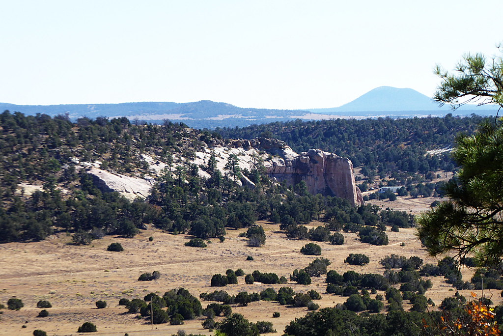
El Morro Campground is a campground in New Mexico at about 7,200 feet, with 9 sites. It is managed by the National Park Service.
Local outfitters
- El Morro RV Park & Cabinsunder a mile away
Not on Roamze yet. Their page has how to reach them.
Best time to go · May–Jul, Sep
Best time to visit El Morro Campground
Best months: May–July and September. Best months have typical highs of 55–85 °F, lows of 30 °F or warmer (32 °F where the station doesn't record snow), at most one snowy day and no more than 12 wet days.
Jan
44° / 14°
6 wet
Feb
47° / 19°
6 wet
Mar
55° / 23°
6 wet
Apr
64° / 27°
4 wet
May
72° / 34°
4 wet
Jun
83° / 43°
5 wet
Jul
85° / 51°
12 wet
Aug
82° / 50°
13 wet
Sep
77° / 43°
8 wet
Oct
66° / 31°
5 wet
Nov
54° / 21°
5 wet
Dec
44° / 14°
6 wet
Typical high / low (°F) and days with rain or snow, 1991–2020. Measured at El Morro Natl Mon, NM, 0.7 mi away at 7,223 ft. This station doesn't record snowfall. Source: NOAA NCEI U.S. Climate Normals 1991–2020.
Facts about this campground
Rules & access
- Accessibility
- Wheelchair accessible
Source: National Park Service API; OpenStreetMap contributors (ODbL)
Keep exploring — more campsites worth the drive
BED
El Morro RV Park and Cabins
~2 min drive
El Morro RV Park and Cabins is a campground in New Mexico at about 7,292 feet.
BED
One Redondo
~27 min drive
One Redondo is a campground in New Mexico at about 8,827 feet. It is managed by the U.S. Forest Service.
BED
Ojo Redondo
~27 min drive
Ojo Redondo is a 75-site campground in Arizona managed by the Forest Service.
BED
Mcgaffey Oso/Page
~43 min drive
Mcgaffey Oso/Page is a campground in Arizona with 145 sites.
BED
BAR S RV Park
~46 min drive
BED
Grants KOA
~47 min drive
Grants KOA is a campground in New Mexico at about 6,490 feet.
BED
Quaking Aspen
~48 min drive
Quaking Aspen is a campground in Arizona with 145 sites.
BED
Lavaland RV Park
~50 min drive
Lavaland RV Park is a campground in New Mexico at about 6,436 feet. It is managed by the Bureau of Land Management.
BED
Joe Skeen Campground
~51 min drive
BED
Group Campsite
~51 min drive
Group Campsite is a campground in New Mexico at about 6,944 feet. It is managed by the Bureau of Land Management.
Map and trail data © OpenStreetMap contributors
