Tesuque Creek Trail (152)
- Mixed
- surface
- May–Oct
- best months
Caution today
Agency alerts are in effect for this area; weather is good · USFS, OpenWeather · checked 9 h ago
Is Tesuque Creek Trail (152) open right now?
Alert in the area
The Forest Service lists 2 alerts for Santa Fe National Forest.
Road Conditions
Agency alert covering Santa Fe National Forest · USFS · Santa Fe National Forest
Headquarters Well Area Closure on Española Ranger District
Agency alert covering Espanola Ranger District · Order 03-10-06-25-17 · USFS · Espanola Ranger District
As of · Source: USFS · Santa Fe National Forest. Agencies don't list every closure — check before you go.
Tesuque Creek Trail (152) is a flat, easy mountain biking route in the Espanola Ranger District of Santa Fe National Forest, in northern New Mexico. The Forest Service manages the land, and the trail runs at a constant elevation of about 9,750 feet, so there is no climb to plan for. Big Tesuque campground sits just 0.1 mile away, making it an easy base for the ride. Summer is the most comfortable time to go. Typical averages from a nearby weather station show July highs around 76°F with lows near 47°F, while winter brings highs in the mid-40s and several snow days a month from December through February. That station sits about 1,500 feet lower, so temperatures on the trail run cooler. Other options are close by. The Tesuque Creek hike is about 1.2 miles away, and the Norski Trail (255) for cross-country skiing is about 1.3 miles off. Aspen Basin campground is about 1.7 miles away.
- Big TesuqueCamping0.1 mi
 Tesuque CreekHikingPhoto: steveilott, CC BY 2.0 (via Flickr)1.2 mi
- Norski Trail (255)Cross-country skiing1.3 mi
- Aspen BasinCamping1.7 mi
- Pecos RiverRiver fishing8.3 mi
- The BleachersRock climbing8.3 mi
- Cathedral RockRock climbing8.3 mi
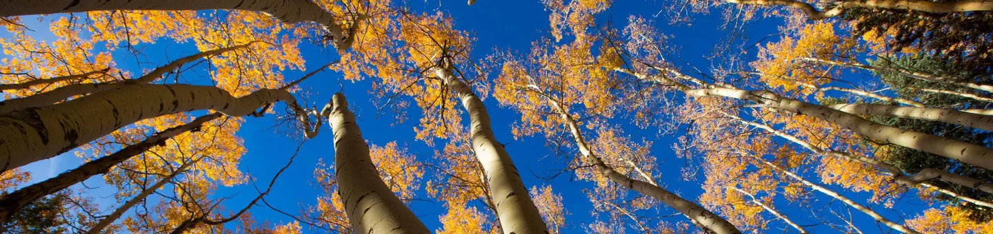 Jacks Creek Group AreaRiver fishing9.8 mi
Source: Roamze catalog (indexable pages within 10 miles, PostGIS distance)
- Tesuque Creek Trail (152)Mountain biking · ~1 min drive
- Tesuque Creek Trail (152)Mountain biking · ~2 min drive
- SaddlebackMountain biking · ~6 min drive
- Little TesuqueMountain biking · ~9 min drive
- La PiedraMountain biking · ~11 min drive
- La PiedraMountain biking · ~11 min drive
- ChamisaMountain biking · ~8 min drive
- Arroyo TrailMountain biking · ~17 min drive
- Picacho Peak TrailMountain biking · ~13 min drive
- South Summit TrailMountain biking · ~11 min drive
Best time to visit Tesuque Creek Trail (152)
Best months: May–October. Best months have typical highs of 55–85 °F, lows of 30 °F or warmer (32 °F where the station doesn't record snow), at most one snowy day and no more than 12 wet days.
Jan
44° / 18°
5 wet · 5 snow
Feb
45° / 20°
5 wet · 5 snow
Mar
51° / 24°
6 wet · 5 snow
Apr
57° / 29°
6 wet · 3 snow
May
65° / 36°
6 wet · 1 snow
Jun
75° / 43°
7 wet
Jul
76° / 47°
12 wet
Aug
74° / 46°
12 wet
Sep
69° / 41°
7 wet
Oct
61° / 32°
5 wet · 1 snow
Nov
52° / 24°
4 wet · 3 snow
Dec
44° / 18°
4 wet · 4 snow
Typical high / low (°F) and days with rain or snow, 1991–2020. Measured at Gascon, NM, 21.8 mi away at 8,250 ft. The station sits about 1,500 ft lower than this place, so expect it a little cooler here. Source: NOAA NCEI U.S. Climate Normals 1991–2020.

Map and trail data © OpenStreetMap contributors
