Tesuque Creek Trail (152)
- 0.7 mi
- round trip
- 607 ft
- climb
- Singletrack
- surface
- Out and back
- route
Is Tesuque Creek Trail (152) open right now?
Alert in the area
The Forest Service lists 2 alerts for Santa Fe National Forest.
Road Conditions
Agency alert covering Santa Fe National Forest · USFS · Santa Fe National Forest
Headquarters Well Area Closure on Española Ranger District
Agency alert covering Espanola Ranger District · Order 03-10-06-25-17 · USFS · Espanola Ranger District
As of · Source: USFS · Santa Fe National Forest. Agencies don't list every closure — check before you go.
Tesuque Creek Trail (152) is a mountain biking route in the Espanola Ranger District of Santa Fe National Forest in northern New Mexico, managed by the Forest Service. The trail is about 1.3 miles long, starting at roughly 9,800 feet and climbing to about 10,200 feet. The one-way gain is 450 feet, and the round trip totals about 607 feet of elevation change. The route is rated hard, and the steepest stretch comes in early in the ride, where a 23% grade occurs near the 0.29-mile mark. Big Tesuque campground sits just 0.1 mile away, making it the natural base for a trip on this trail. For more time outdoors nearby, the Tesuque Creek hike is about 1.2 miles off, and the Norski Trail (255) is about 1.3 miles away. Aspen Basin campground is about 1.7 miles away.
- Big TesuqueCamping0.1 mi
 Tesuque CreekHikingPhoto: steveilott, CC BY 2.0 (via Flickr)1.2 mi
- Norski Trail (255)Cross-country skiing1.3 mi
- Aspen BasinCamping1.7 mi
- Pecos RiverRiver fishing8.3 mi
- The BleachersRock climbing8.3 mi
- Cathedral RockRock climbing8.3 mi
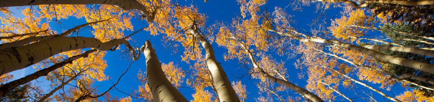 Jacks Creek Group AreaRiver fishing9.8 mi
Source: Roamze catalog (indexable pages within 10 miles, PostGIS distance)
- Tesuque Creek Trail (152)Mountain biking · ~1 min drive
- Tesuque Creek Trail (152)Mountain biking · ~2 min drive
- SaddlebackMountain biking · ~6 min drive
- Little TesuqueMountain biking · ~9 min drive
- La PiedraMountain biking · ~11 min drive
- La PiedraMountain biking · ~11 min drive
- ChamisaMountain biking · ~8 min drive
- Arroyo TrailMountain biking · ~17 min drive
- Picacho Peak TrailMountain biking · ~13 min drive
- South Summit TrailMountain biking · ~11 min drive

Map and trail data © OpenStreetMap contributors
