Red Mesa 10A
- 0.0 mi
- distance
- 5,685 ft
- high point
- Lollipop
- route
- Easy
- difficulty
- Apr–May, Sep–Oct
- best months
Caution today
Weather is marginal · OpenWeather · checked just now
Red Mesa 10A is a short, easy hike on Bureau of Land Management land in the Rio Puerco Field Office of New Mexico, about 0.04 miles long and with no elevation gain. It is a flat, low-impact outing that takes about half an hour to complete, making it an easy addition to a day spent exploring the surrounding trails. Spring and fall are the most comfortable times to go. Typical averages from the nearby Jemez Springs weather station show May highs around 76°F and October highs around 70°F, while July and August average highs near 89°F with more wet days. The hike sits among a cluster of mountain biking routes. Red Mesa 10 is about 0.1 mile away, The Iron Hand about 0.2 mile, and Stairway to Hell about 0.3 mile. For paddling, the Jemez River is about 9 miles away.
Local outfitters
- Turquoise Trail Campground39 mi away
Not on Roamze yet. Their page has how to reach them.
- Red Mesa 10Mountain biking0.1 mi
- The Iron HandMountain biking0.2 mi
- Evacuation LineMountain biking0.3 mi
- Stairway to HellMountain biking0.3 mi
- Red Mesa 35Mountain biking0.4 mi
- Chunk Suey DescentMountain biking0.5 mi
- Red Classic LoopMountain biking0.5 mi
 Jemez RiverCanoeingPhoto: Sharon Phelan Evans, CC BY-SA 3.0 (via Wikimedia Commons)9 mi
Source: Roamze catalog (indexable pages within 10 miles, PostGIS distance)
 The Iron HandHiking · Next doorPhoto: lns1122, CC BY 2.0 (via Flickr)
 White Mesa Bike TrailHiking · ~4 min drivePhoto: Matt Lavin, CC BY-SA 2.0 (via Flickr)
- Evacuation LineHiking · Next doorPhoto: lns1122, CC BY 2.0 (via Flickr)
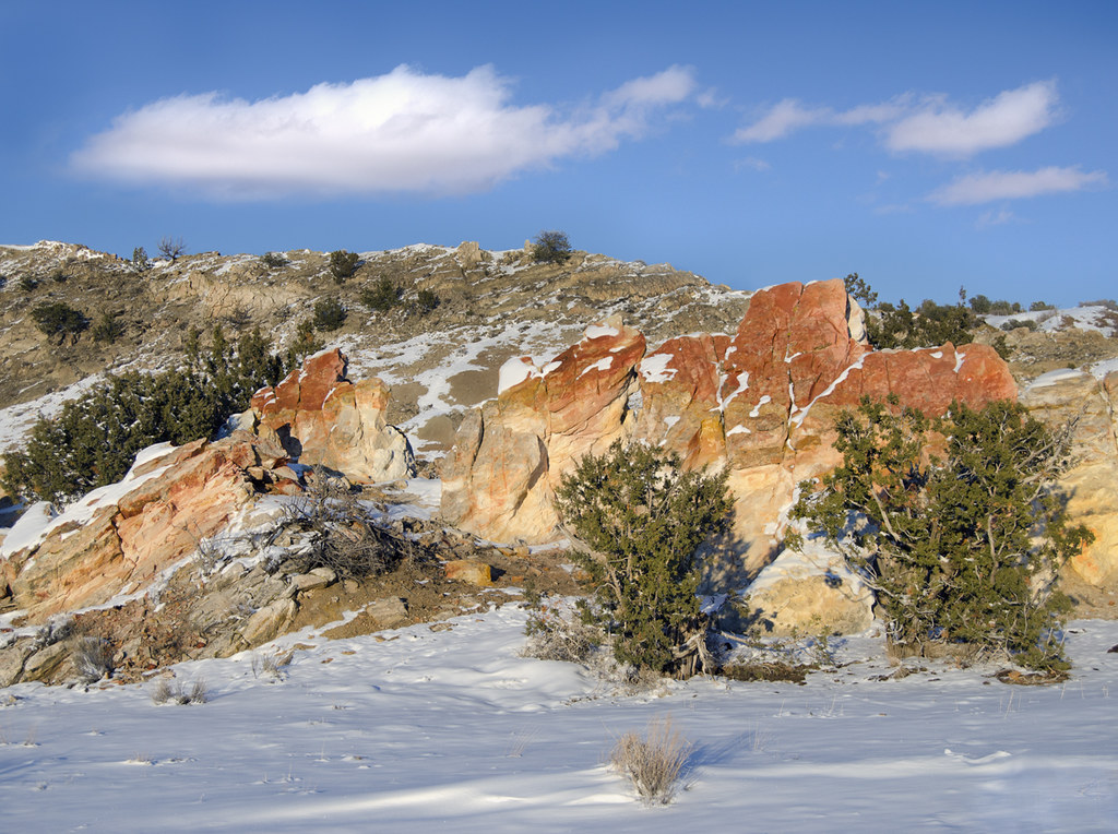 Dragon's Back TrailHiking · ~8 min drivePhoto: snowpeak, CC BY 2.0 (via Flickr)
- Red Line RidgeHiking · ~1 min drivePhoto: lns1122, CC BY 2.0 (via Flickr)
 Monastery TrailHiking · ~29 min drivePhoto: RuggyBearLA, CC BY-SA 2.0 (via Flickr)
 Perea Nature TrailHiking · ~5 min drivePhoto: Alexander Hatley, CC BY 2.0 (via Flickr)
- Tres CaballosHiking · ~25 min drive
 Seismosaurus TrailHiking · ~11 min drivePhoto: John Fowler from Placitas, NM, USA, CC BY 2.0 (via Wikimedia Commons)
- Cabezon Peak TrailHiking · ~27 min drive
Best time to visit Red Mesa 10A
Best months: April–May and September–October. Best months have typical highs of 55–85 °F, lows of 30 °F or warmer (32 °F where the station doesn't record snow), at most one snowy day and no more than 12 wet days.
Jan
48° / 19°
4 wet
Feb
52° / 22°
4 wet
Mar
60° / 28°
4 wet
Apr
67° / 33°
3 wet
May
76° / 41°
3 wet
Jun
87° / 50°
4 wet
Jul
89° / 55°
9 wet
Aug
86° / 54°
9 wet
Sep
80° / 47°
6 wet
Oct
70° / 36°
4 wet
Nov
56° / 26°
4 wet
Dec
47° / 19°
4 wet
Typical high / low (°F) and days with rain or snow, 1991–2020. Measured at Jemez Springs, NM, 16.6 mi away at 6,262 ft. The station sits about 600 ft higher than this place, so expect it a little warmer here. This station doesn't record snowfall. Source: NOAA NCEI U.S. Climate Normals 1991–2020.
Map and trail data © OpenStreetMap contributors
