Red Line Ridge
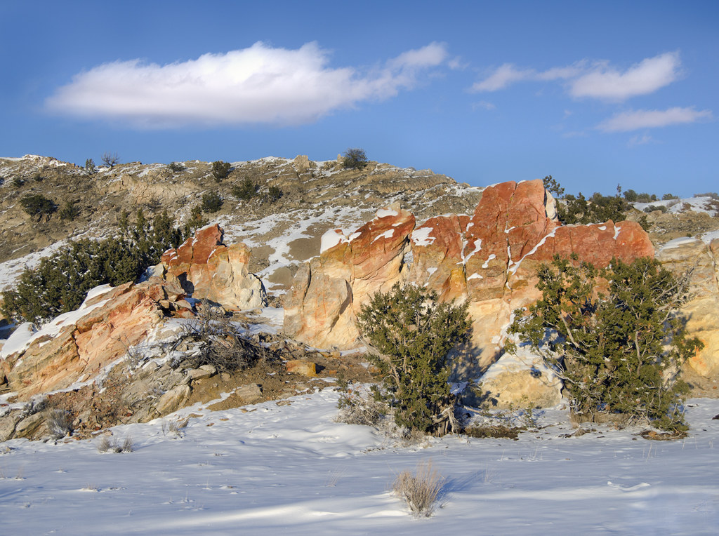
 Photo: lns1122, CC BY 2.0 (via Flickr)
- 0.9 mi
- round trip
- 217 ft
- climb
- 5,651 ft
- high point
- Out and back
- route
- Mar–May, Sep–Oct
- best months
Red Line Ridge is an easy out-and-back hike on Bureau of Land Management land in the Rio Puerco Field Office of New Mexico. The trail is about 1.8 miles long, with a high point of 5,651 feet and a low point of 5,494 feet. The route gains and then loses about 217 feet in total, so the climb is minimal. The steepest stretch comes at about 0.8 miles, with a 7% grade. Spring and fall are the most comfortable times to go. Typical averages from the Jemez Dam weather station, about 19 miles away, show May highs near 79°F and October highs near 72°F. Summer highs there climb into the low 90s, and July brings the most wet days of the year. Mountain bikers have plenty to ride close by, including Red Mesa 24, Red Mesa 18 and Red Mesa 35, all within a third of a mile. The Red Classic Loop is about half a mile away.
Local outfitters
- Turquoise Trail Campground38 mi away
Not on Roamze yet. Their page has how to reach them.
- Red Mesa 24Mountain biking0.2 mi
- Red Mesa 18Mountain biking0.3 mi
- Red Mesa 35Mountain biking0.3 mi
- Red Classic LoopMountain biking0.5 mi
- Red Mesa 10Mountain biking0.6 mi
- The Iron HandMountain biking0.6 mi
- Red Mesa 10AHiking0.7 mi
 Jemez RiverCanoeingPhoto: Sharon Phelan Evans, CC BY-SA 3.0 (via Wikimedia Commons)8.4 mi
Source: Roamze catalog (indexable pages within 10 miles, PostGIS distance)
- The Iron HandHiking · ~1 min drivePhoto: lns1122, CC BY 2.0 (via Flickr)
 White Mesa Bike TrailHiking · ~4 min drivePhoto: Matt Lavin, CC BY-SA 2.0 (via Flickr)
- Evacuation LineHiking · ~1 min drivePhoto: lns1122, CC BY 2.0 (via Flickr)
 Dragon's Back TrailHiking · ~8 min drivePhoto: snowpeak, CC BY 2.0 (via Flickr)
 Perea Nature TrailHiking · ~4 min drivePhoto: Alexander Hatley, CC BY 2.0 (via Flickr)
 Monastery TrailHiking · ~28 min drivePhoto: RuggyBearLA, CC BY-SA 2.0 (via Flickr)
 Seismosaurus TrailHiking · ~12 min drivePhoto: John Fowler from Placitas, NM, USA, CC BY 2.0 (via Wikimedia Commons)
- Tres CaballosHiking · ~24 min drive
 Walatowa TrailHiking · ~13 min drivePhoto: nataylor, CC BY 2.0 (via Flickr)
- Cabezon Peak TrailHiking · ~29 min drive
Best time to visit Red Line Ridge
Best months: March–May and September–October. Best months have typical highs of 55–85 °F, lows of 30 °F or warmer (32 °F where the station doesn't record snow), at most one snowy day and no more than 12 wet days.
Jan
47° / 22°
4 wet
Feb
53° / 25°
3 wet
Mar
61° / 33°
3 wet
Apr
70° / 39°
3 wet
May
79° / 48°
3 wet
Jun
90° / 58°
4 wet
Jul
93° / 64°
7 wet
Aug
90° / 62°
7 wet
Sep
84° / 54°
5 wet
Oct
72° / 41°
4 wet
Nov
58° / 29°
2 wet
Dec
48° / 23°
4 wet
Typical high / low (°F) and days with rain or snow, 1991–2020. Measured at Jemez Dam, NM, 19.4 mi away at 5,388 ft. This station doesn't record snowfall. Source: NOAA NCEI U.S. Climate Normals 1991–2020.
Map and trail data © OpenStreetMap contributors
