Turtle Trail
- 0.3 mi
- round trip
- 33 ft
- climb
- 4,999 ft
- high point
- Out and back
- route
- Apr–May, Oct
- best months
Turtle Trail is a short, easy hike in the Bosque area of New Mexico, on city-managed land. The round-trip route is about 0.64 miles long, and the climb is nearly flat, with a high of 4999 feet and a low of 4982 feet. The total gain and loss are each about 33 feet, so it's a gentle walk that's easy to fit into a longer outing. Spring and fall are the most comfortable times to visit. Typical averages from a nearby weather station run from highs around 76°F with lows near 37°F in April to highs around 75°F with lows near 39°F in October. Summer is hot, with July highs averaging about 95°F. Several other trails sit close by. Riverside Levy Trail is about half a mile away, and Normandy Trail and Canopy Loop are each about 0.6 miles off. Corrales Ditch Trail is roughly 0.7 miles away.
Local outfitters
- Turquoise Trail Campground17 mi away
Not on Roamze yet. Their page has how to reach them.
 Riverside Levy TrailHikingPhoto: Matt Lavin, CC BY-SA 2.0 (via Flickr)0.5 mi
- Normandy TrailHiking0.6 mi
- Canopy LoopHiking0.6 mi
- Corrales Ditch TrailHiking0.7 mi
- Coyote LoopHiking1.4 mi
- Harwood Lateral PathHiking1.9 mi
 Volcano Heights TrailHikingPhoto: RuggyBearLA, CC BY-SA 2.0 (via Flickr)2.4 mi
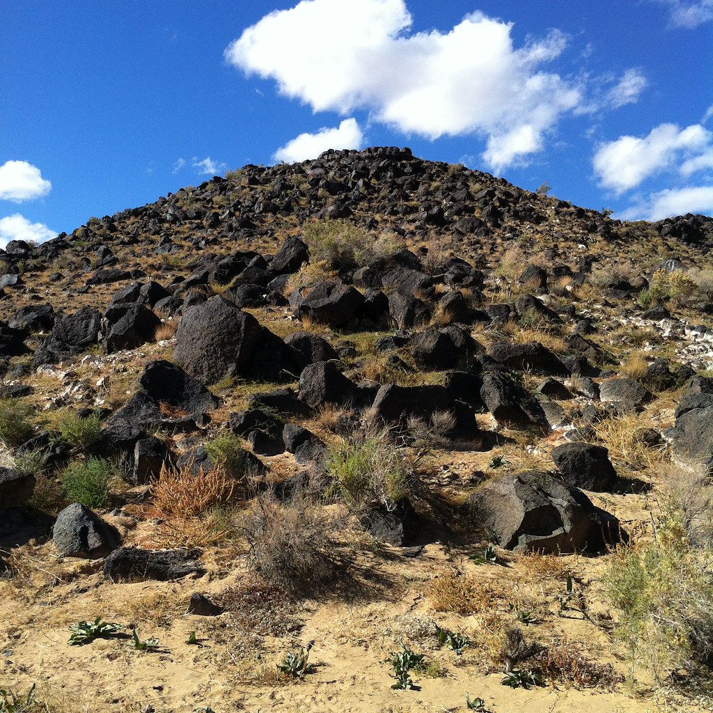 Piedras Marcadas Trail SouthHikingPhoto: False Positives, CC BY 2.0 (via Flickr)2.6 mi
Source: Roamze catalog (indexable pages within 10 miles, PostGIS distance)
- Riverside Levy TrailHiking · Next doorPhoto: Matt Lavin, CC BY-SA 2.0 (via Flickr)
 High View Connector TrailHiking · ~4 min drivePhoto: rbaire, CC BY-SA 2.0 (via Flickr)
- Volcano View TrailHiking · ~11 min drive
- South Rim TrailHiking · ~10 min drive
- Volcano Heights TrailHiking · ~4 min drivePhoto: RuggyBearLA, CC BY-SA 2.0 (via Flickr)
- Paseo De Las Mesa Recreational TrailHiking · ~11 min drive
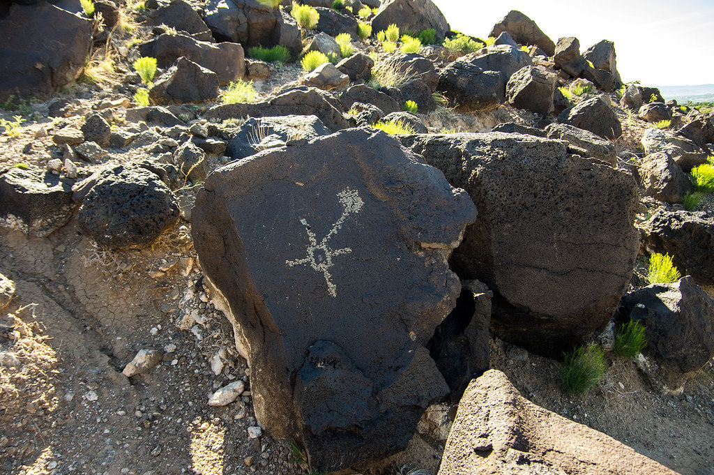 Boca Negra Canyon Nature TrailHiking · ~4 min drivePhoto: RuggyBearLA, CC BY-SA 2.0 (via Flickr)
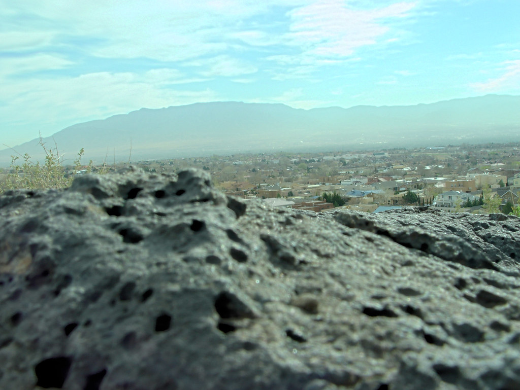 North Rim TrailHiking · ~4 min drivePhoto: drewgstephens, CC BY-SA 2.0 (via Flickr)
- Piedras Marcadas Trail SouthHiking · ~4 min drivePhoto: False Positives, CC BY 2.0 (via Flickr)
 Cliff Base TrailHiking · ~5 min drivePhoto: btwashburn, CC BY 2.0 (via Flickr)
Best time to visit Turtle Trail
Best months: April–May and October. Best months have typical highs of 55–85 °F, lows of 30 °F or warmer (32 °F where the station doesn't record snow), at most one snowy day and no more than 12 wet days.
Jan
52° / 21°
Feb
58° / 24°
Mar
67° / 31°
Apr
76° / 37°
May
84° / 45°
Jun
94° / 53°
Jul
95° / 62°
Aug
92° / 59°
Sep
87° / 50°
Oct
75° / 39°
Nov
61° / 28°
Dec
50° / 21°
Typical high / low (°F) and days with rain or snow, 1991–2020. Measured at Rio Grande Nature Ctr, NM, 1.6 mi away at 4,944 ft. This station doesn't record snowfall. Source: NOAA NCEI U.S. Climate Normals 1991–2020.

Map and trail data © OpenStreetMap contributors
