Volcano View Trail
- 6.1 mi
- round trip
- 440 ft
- climb
- 5,745 ft
- high point
- Out and back
- route
- Mar–May, Sep–Oct
- best months
Volcano View Trail is a 12.2-mile out-and-back hike inside Petroglyph National Monument in New Mexico, on city-managed land. It rises from 5,330 feet to 5,745 feet, a gain of 440 feet, and is rated hard. The trail makes an anchor in a cluster of volcano-themed paths, with several other routes within a few miles. Spring and fall are the most comfortable times to go. Typical averages from a nearby weather station show October highs around 72°F with lows near 43°F, while June and July average highs in the low 90s. The Paseo De Las Mesa Recreational Trail starts just 0.1 mile away, and the Butte Volcano Trail is about 1.5 miles off. Bond Volcano Trail and the Volcan Volcano Trail Loop lie roughly 2.6 to 3 miles away.
Local outfitters
- Turquoise Trail Campground23 mi away
Not on Roamze yet. Their page has how to reach them.
- Paseo De Las Mesa Recreational TrailHiking0.1 mi
- Butte Volcano TrailHiking1.5 mi
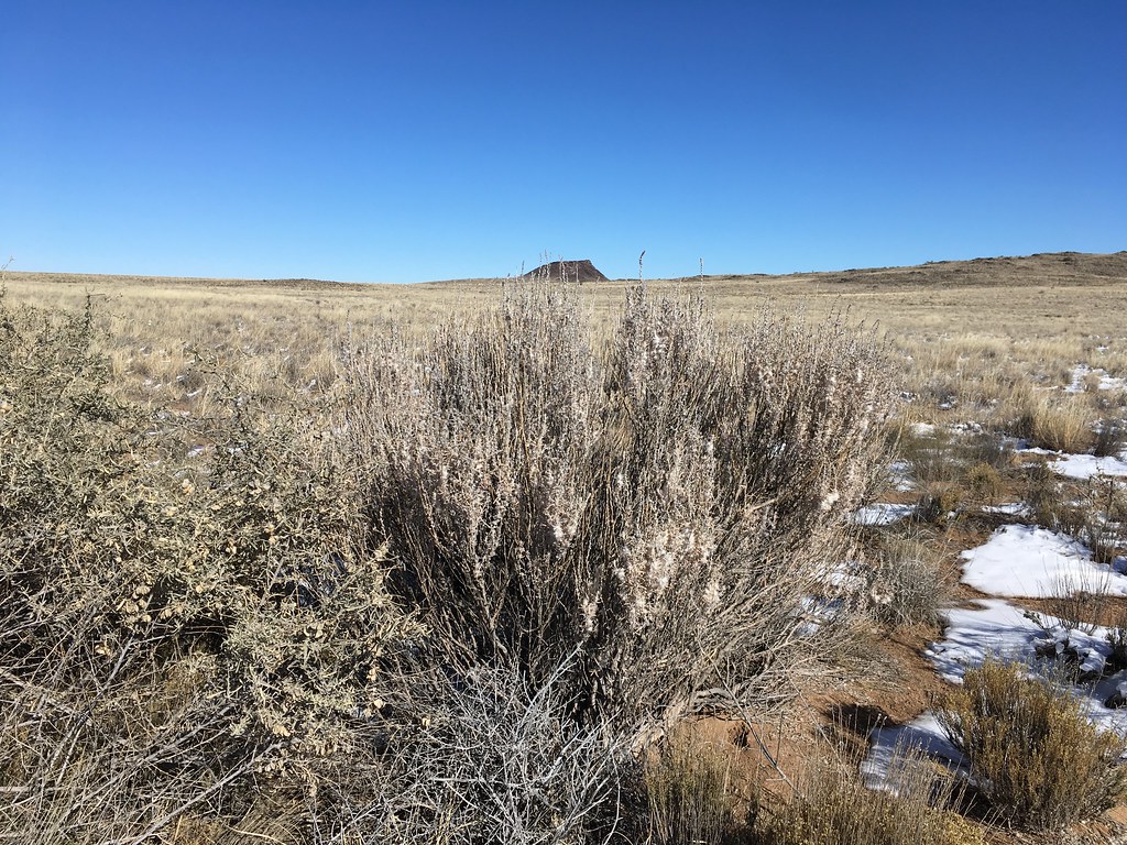 Bond Volcano TrailHikingPhoto: Matt Lavin, CC BY-SA 2.0 (via Flickr)2.6 mi
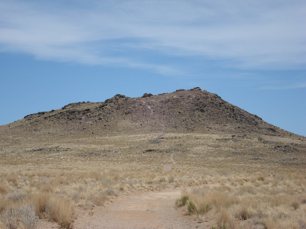 East Bond Volcano TrailHikingPhoto: Paul J. Morris, CC BY-SA 2.0 (via Flickr)2.8 mi
- Volcan Volcano Trail LoopHikingPhoto: Paul J. Morris, CC BY-SA 2.0 (via Flickr)3 mi
- Boca Negra TrailHiking3.1 mi
 Black Volcano TrailHikingPhoto: Michael Hohimer from Atlanta, GA, U.S.A, CC BY 2.0 (via Wikimedia Commons)3.2 mi
- Volcanos Trail LoopHikingPhoto: Michael Hohimer from Atlanta, GA, U.S.A, CC BY 2.0 (via Wikimedia Commons)3.4 mi
Source: Roamze catalog (indexable pages within 10 miles, PostGIS distance)
- Bond Volcano TrailHiking · ~5 min drivePhoto: Matt Lavin, CC BY-SA 2.0 (via Flickr)
 Riverside Levy TrailHiking · ~10 min drivePhoto: Matt Lavin, CC BY-SA 2.0 (via Flickr)
- East Bond Volcano TrailHiking · ~5 min drivePhoto: Paul J. Morris, CC BY-SA 2.0 (via Flickr)
- South Rim TrailHiking · ~8 min drive
- Black Volcano TrailHiking · ~6 min drivePhoto: Michael Hohimer from Atlanta, GA, U.S.A, CC BY 2.0 (via Wikimedia Commons)
- Volcanos Trail LoopHiking · ~6 min drivePhoto: Michael Hohimer from Atlanta, GA, U.S.A, CC BY 2.0 (via Wikimedia Commons)
- Mesa Top Multi Use TrailHiking · ~6 min drivePhoto: Michael Hohimer from Atlanta, GA, U.S.A, CC BY 2.0 (via Wikimedia Commons)
 Boca Negra TrailHiking · ~6 min drivePhoto: btwashburn, CC BY 2.0 (via Flickr)
- Cliff Base TrailHiking · ~6 min drivePhoto: btwashburn, CC BY 2.0 (via Flickr)
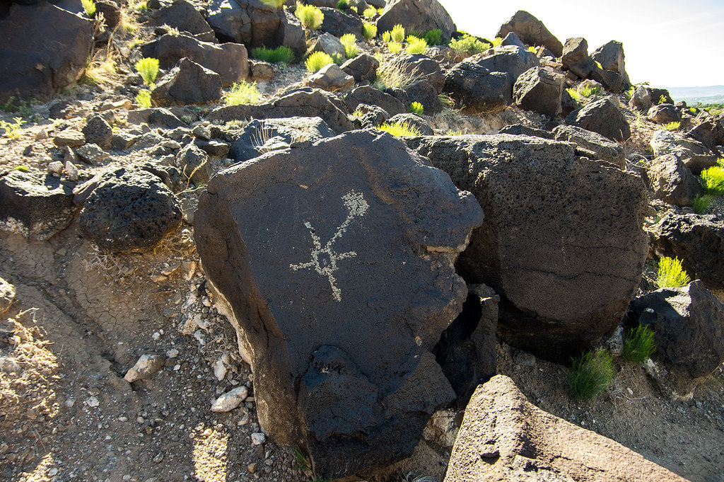 Boca Negra Canyon Nature TrailHiking · ~7 min drivePhoto: RuggyBearLA, CC BY-SA 2.0 (via Flickr)
Best time to visit Volcano View Trail
Best months: March–May and September–October. Best months have typical highs of 55–85 °F, lows of 30 °F or warmer (32 °F where the station doesn't record snow), at most one snowy day and no more than 12 wet days.
Jan
50° / 24°
3 wet
Feb
56° / 28°
3 wet
Mar
65° / 34°
4 wet
Apr
72° / 41°
3 wet
May
81° / 50°
3 wet
Jun
92° / 59°
3 wet
Jul
93° / 65°
6 wet
Aug
91° / 63°
6 wet
Sep
84° / 55°
5 wet
Oct
72° / 43°
4 wet
Nov
59° / 31°
3 wet
Dec
49° / 24°
3 wet
Typical high / low (°F) and days with rain or snow, 1991–2020. Measured at Petroglyph Natl Mon, NM, 4.8 mi away at 5,121 ft. The station sits about 600 ft lower than this place, so expect it a little cooler here. This station doesn't record snowfall. Source: NOAA NCEI U.S. Climate Normals 1991–2020.
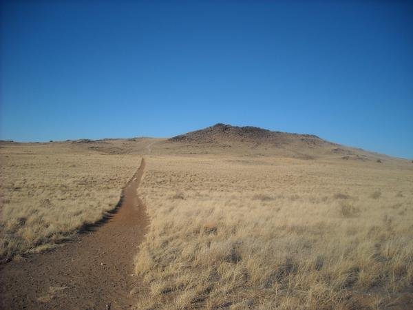
Map and trail data © OpenStreetMap contributors
