Sioux Camp Access Trail
- 0.4 mi
- distance
- 258 ft
- climb
- 7,472 ft
- high point
- Lollipop
- route
- May–Jun, Sep
- best months
Sioux Camp Access Trail is a short, easy hike in northern New Mexico, about 0.35 miles long and rising roughly 258 feet from a starting point near 7,315 feet to a high of 7,472 feet. The nearest town is Six Mile Gate, about 5.5 miles away. The trail is a short outing rather than a full-day destination. It takes about half an hour to walk, and the climb is gentle, with the steepest stretch at about 0.21 miles in, where the grade reaches 22 percent. The route also has a small drop of 176 feet, so it works well as a loop or a stop on the way to another trail. For comfortable weather, late spring and early fall are the best bets. Typical averages from the nearby Eagle Nest weather station show May highs around 66°F and September highs around 72°F, while July and August bring the most wet days, about 15 each month. Several other trails sit within a mile, including Dean Cutoff - Flume Canyon Trail, Ponil to Dean Camps Junction Trail and Dean Cutoff South Access Trail. For climbing, Probe 1 is about 4 miles away.
Local outfitters
- Taos Mountain Outfitters33 mi away
Not on Roamze yet. Their page has how to reach them.
 Dean Cutoff - Flume Canyon TrailHikingPhoto: sprague, CC BY 2.0 (via Flickr)0.7 mi
- Ponil to Dean Camps Junction TrailHiking0.8 mi
- Ponil to Dean Cutoffi TrailHiking0.8 mi
 Dean Cutoff South Access TrailHikingPhoto: sprague, CC BY 2.0 (via Flickr)0.9 mi
- Bent - Ponil TrailHiking1 mi
- Probe 1Rock climbing4 mi
- MavericksRock climbing4.2 mi
- Webster Parks CampCamping8.5 mi
Source: Roamze catalog (indexable pages within 10 miles, PostGIS distance)
- Dean Cutoff - Flume Canyon TrailHiking · ~1 min drivePhoto: sprague, CC BY 2.0 (via Flickr)
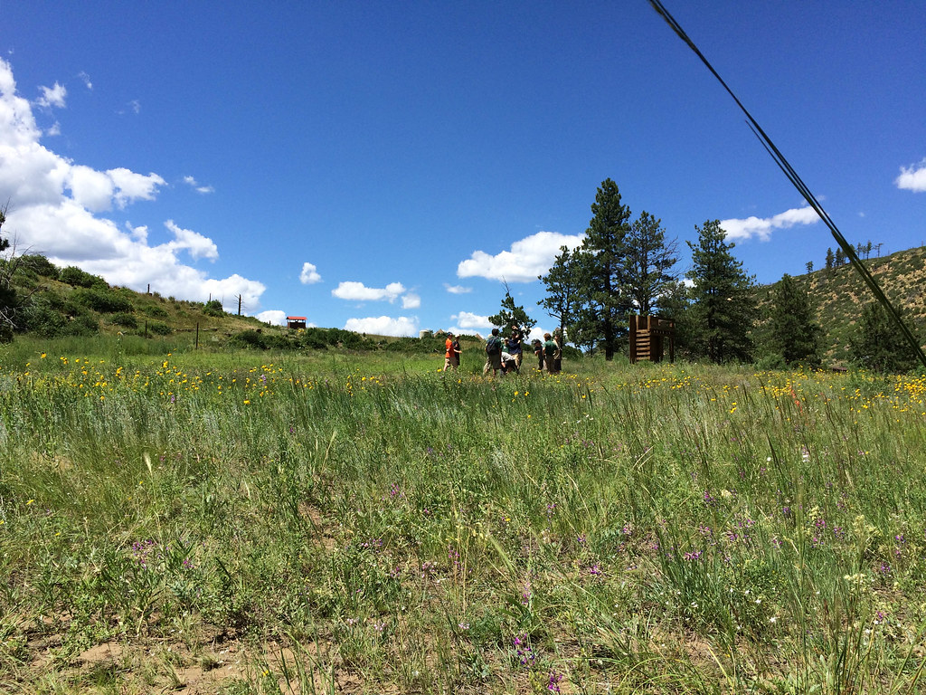 Rich Cabins to Dan Beard TrailHiking · ~7 min drivePhoto: sprague, CC BY 2.0 (via Flickr)
- Trail Canyon to Dean CowHiking · ~5 min drive
- Dean Cutoff South Access TrailHiking · ~2 min drivePhoto: sprague, CC BY 2.0 (via Flickr)
- Elkhorn - Flume Canyon Alternate TrailHiking · ~4 min drive
- Pueblano to Baldy Skyline TrailHiking · ~6 min drive
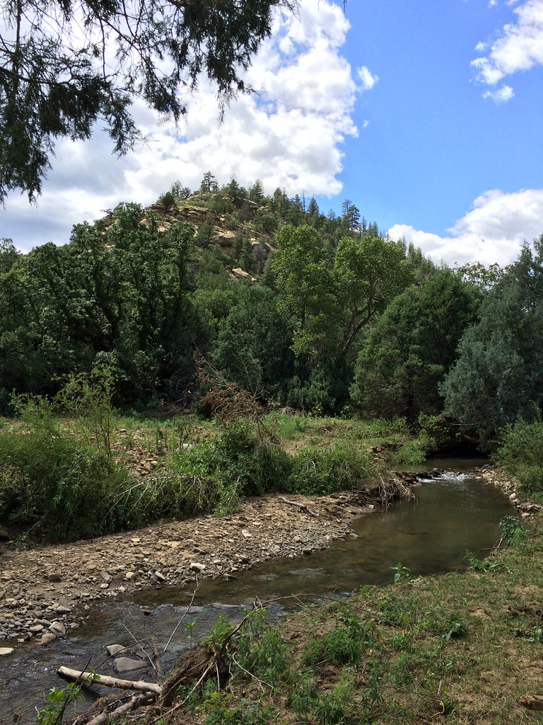 Ponil Turnaround - Ponil TrailHiking · ~3 min drivePhoto: sprague, CC BY 2.0 (via Flickr)
- Bear Canyon Turnaround - Upper Dean Connector TrailHiking · ~5 min drive
- Cimarron River - Santa Claus TrailHiking · ~6 min drive
- Bent to Dan Beard TrailHiking · ~7 min drivePhoto: sprague, CC BY 2.0 (via Flickr)
Best time to visit Sioux Camp Access Trail
Best months: May–June and September. Best months have typical highs of 55–85 °F, lows of 30 °F or warmer (32 °F where the station doesn't record snow), at most one snowy day and no more than 12 wet days.
Jan
39° / 5°
7 wet
Feb
42° / 10°
7 wet
Mar
49° / 18°
8 wet
Apr
56° / 24°
8 wet
May
66° / 32°
7 wet
Jun
77° / 38°
9 wet
Jul
79° / 44°
15 wet
Aug
77° / 43°
15 wet
Sep
72° / 35°
9 wet
Oct
62° / 25°
6 wet
Nov
49° / 15°
6 wet
Dec
39° / 6°
7 wet
Typical high / low (°F) and days with rain or snow, 1991–2020. Measured at Eagle Nest, NM, 12.6 mi away at 8,280 ft. The station sits about 800 ft higher than this place, so expect it a little warmer here. This station doesn't record snowfall. Source: NOAA NCEI U.S. Climate Normals 1991–2020.

Map and trail data © OpenStreetMap contributors
