Riverside Trail
- 0.0 mi
- distance
- 4,957 ft
- high point
- Lollipop
- route
- Easy
- difficulty
- Mar–May, Sep–Oct
- best months
Riverside Trail is an easy, nearly flat walk in New Mexico, sitting within the Bosque on city land. The route is just 0.04 miles long and adds no elevation, with the high point at 4,957 feet and the low at 4,954 feet. It is a short outing that takes about half an hour to complete, making it an easy addition to a longer day in the area. Spring and fall are the most comfortable times to visit. Typical averages from the nearby Albuquerque Valley weather station show April and October highs around 72°F with lows near 40°F and 41°F, while June and July climb to the low 90s and bring the most wet days of the year. Several other trails lie within a few miles, including Chavez Loop at 3.4 miles, Harwood Lateral Path at 4.8 miles and Parkwest Trail at 5.4 miles. For climbing, Little Beaver Town is about 9.6 miles away.
Local outfitters
- Turquoise Trail Campground17 mi away
Not on Roamze yet. Their page has how to reach them.
- Chavez LoopHiking3.4 mi
- Harwood Lateral PathHiking4.8 mi
 Parkwest TrailHikingPhoto: dwhartwig, CC BY 2.0 (via Flickr)5.4 mi
 Bluff TrailHikingPhoto: dwhartwig, CC BY 2.0 (via Flickr)5.5 mi
 Riverside Levy TrailHikingPhoto: Matt Lavin, CC BY-SA 2.0 (via Flickr)5.5 mi
- Rinconada Canyon TrailHikingPhoto: dwhartwig, CC BY 2.0 (via Flickr)5.6 mi
- Little Beaver TownRock climbing9.6 mi
- Lower Mound (western cluster of boulders)Rock climbing10 mi
Source: Roamze catalog (indexable pages within 10 miles, PostGIS distance)
- Parkwest TrailHiking · ~9 min drivePhoto: dwhartwig, CC BY 2.0 (via Flickr)
- Riverside Levy TrailHiking · ~9 min drivePhoto: Matt Lavin, CC BY-SA 2.0 (via Flickr)
- Bluff TrailHiking · ~9 min drivePhoto: dwhartwig, CC BY 2.0 (via Flickr)
- Chavez LoopHiking · ~6 min drive
 Mirehaven TrailHiking · ~10 min drivePhoto: dwhartwig, CC BY 2.0 (via Flickr)
- South Rim TrailHiking · ~12 min drive
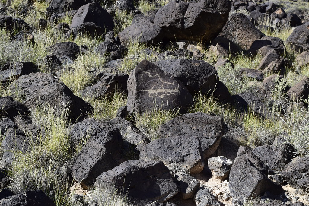 South Rim Trail Segment 2Hiking · ~10 min drivePhoto: dwhartwig, CC BY 2.0 (via Flickr)
 Mural TrailHiking · ~11 min drivePhoto: Desert Landscape Conservation Cooperative, CC BY 2.0 (via Flickr)
 North Field Loop TrailHiking · ~11 min drivePhoto: Desert Landscape Conservation Cooperative, CC BY 2.0 (via Flickr)
 South Rim Cut-Off TrailHiking · ~11 min drivePhoto: rbaire, CC BY-SA 2.0 (via Flickr)
Best time to visit Riverside Trail
Best months: March–May and September–October. Best months have typical highs of 55–85 °F, lows of 30 °F or warmer (32 °F where the station doesn't record snow), at most one snowy day and no more than 12 wet days.
Jan
51° / 22°
4 wet · 1 snow
Feb
57° / 27°
3 wet · 1 snow
Mar
65° / 33°
4 wet · 1 snow
Apr
72° / 40°
3 wet
May
81° / 48°
4 wet
Jun
91° / 57°
4 wet
Jul
93° / 63°
8 wet
Aug
90° / 62°
9 wet
Sep
83° / 54°
6 wet
Oct
72° / 41°
4 wet
Nov
60° / 29°
3 wet · 1 snow
Dec
50° / 22°
4 wet · 1 snow
Typical high / low (°F) and days with rain or snow, 1991–2020. Measured at Albuquerque Valley, NM, 3.9 mi away at 4,955 ft. Source: NOAA NCEI U.S. Climate Normals 1991–2020.

Map and trail data © OpenStreetMap contributors
