Mirehaven Trail
 Photo: dwhartwig, CC BY 2.0 (via Flickr)
- 1.6 mi
- round trip
- 388 ft
- climb
- 5,483 ft
- high point
- Out and back
- route
- Mar–May, Sep–Oct
- best months
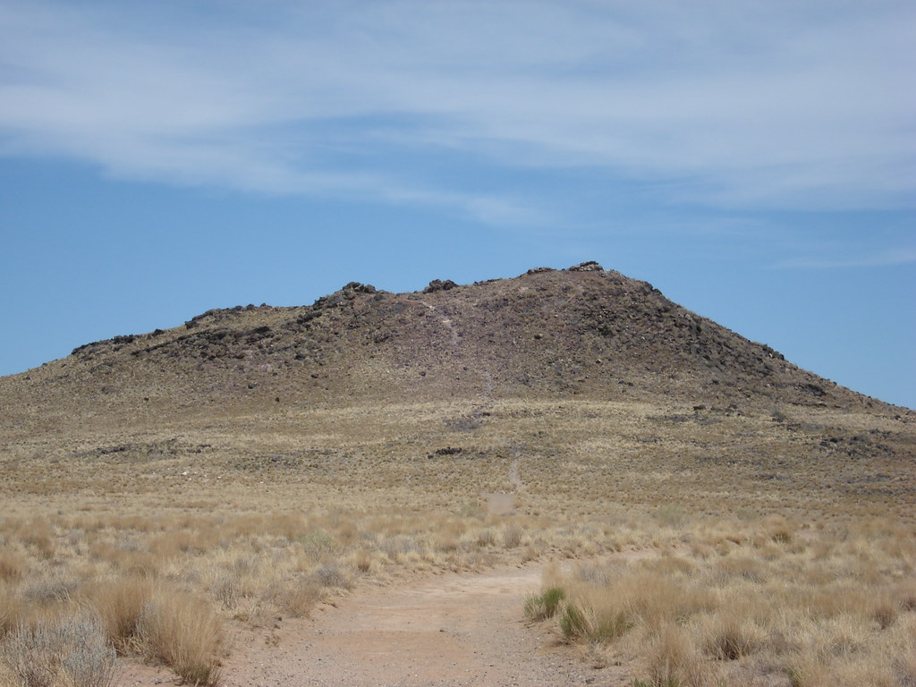
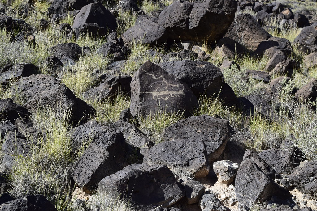
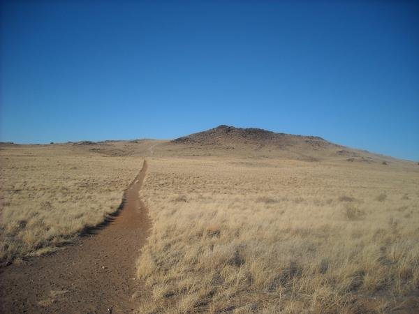
Mirehaven Trail is an easy out-and-back hike in Petroglyph National Monument in New Mexico, managed by the National Park Service. The trail is about 3.2 miles long, with a total elevation gain of 388 feet, and it starts and ends at roughly 5,359 feet, reaching a high point of about 5,483 feet. The climb is rolling, and the steepest stretch comes at about 0.98 miles in, with a grade of about 7 percent. Spring and fall are the most comfortable times to go. Typical averages from a nearby weather station show October highs around 72°F with lows near 43°F, and April is similar at about 72°F by day and 41°F at night. Summer highs there typically reach the low 90s. The hike takes about 1.5 hours. Parkwest Trail is about half a mile away, and South Point Trail and Rinconada Canyon Trail are each about 1.5 miles off.
Local outfitters
- Turquoise Trail Campground21 mi away
Not on Roamze yet. Their page has how to reach them.
 Parkwest TrailHikingPhoto: dwhartwig, CC BY 2.0 (via Flickr)0.5 mi
- South Point TrailHiking1.2 mi
 Rinconada Canyon TrailHikingPhoto: dwhartwig, CC BY 2.0 (via Flickr)1.5 mi
- Bluff TrailHikingPhoto: dwhartwig, CC BY 2.0 (via Flickr)1.5 mi
 Mesa Top Multi Use TrailHikingPhoto: Michael Hohimer from Atlanta, GA, U.S.A, CC BY 2.0 (via Wikimedia Commons)2 mi
- Black Volcano TrailHikingPhoto: Michael Hohimer from Atlanta, GA, U.S.A, CC BY 2.0 (via Wikimedia Commons)2.1 mi
 Volcan Volcano Trail LoopHikingPhoto: Paul J. Morris, CC BY-SA 2.0 (via Flickr)2.3 mi
- Volcanos Trail LoopHikingPhoto: Michael Hohimer from Atlanta, GA, U.S.A, CC BY 2.0 (via Wikimedia Commons)2.3 mi
Source: Roamze catalog (indexable pages within 10 miles, PostGIS distance)
- Parkwest TrailHiking · Next doorPhoto: dwhartwig, CC BY 2.0 (via Flickr)
 Riverside Levy TrailHiking · ~7 min drivePhoto: Matt Lavin, CC BY-SA 2.0 (via Flickr)
- Volcano View TrailHiking · ~9 min drive
 South Rim Cut-Off TrailHiking · ~2 min drivePhoto: rbaire, CC BY-SA 2.0 (via Flickr)
- South Rim TrailHiking · ~2 min drive
- Bluff TrailHiking · ~3 min drivePhoto: dwhartwig, CC BY 2.0 (via Flickr)
- Paseo De Las Mesa Recreational TrailHiking · ~9 min drive
- Mesa Top Multi Use TrailHiking · ~3 min drivePhoto: Michael Hohimer from Atlanta, GA, U.S.A, CC BY 2.0 (via Wikimedia Commons)
- Black Volcano TrailHiking · ~4 min drivePhoto: Michael Hohimer from Atlanta, GA, U.S.A, CC BY 2.0 (via Wikimedia Commons)
 South Rim Trail Segment 2Hiking · ~4 min drivePhoto: dwhartwig, CC BY 2.0 (via Flickr)
Best time to visit Mirehaven Trail
Best months: March–May and September–October. Best months have typical highs of 55–85 °F, lows of 30 °F or warmer (32 °F where the station doesn't record snow), at most one snowy day and no more than 12 wet days.
Jan
50° / 24°
3 wet
Feb
56° / 28°
3 wet
Mar
65° / 34°
4 wet
Apr
72° / 41°
3 wet
May
81° / 50°
3 wet
Jun
92° / 59°
3 wet
Jul
93° / 65°
6 wet
Aug
91° / 63°
6 wet
Sep
84° / 55°
5 wet
Oct
72° / 43°
4 wet
Nov
59° / 31°
3 wet
Dec
49° / 24°
3 wet
Typical high / low (°F) and days with rain or snow, 1991–2020. Measured at Petroglyph Natl Mon, NM, 2.7 mi away at 5,121 ft. This station doesn't record snowfall. Source: NOAA NCEI U.S. Climate Normals 1991–2020.

Map and trail data © OpenStreetMap contributors
