Coronado State Monument
Campground
Campground · 2.0 mi from the trail
 Photo: John Fowler from Placitas, NM, USA, CC BY 2.0 (via Wikimedia Commons)
The Rio Rancho Bosque North Loop Trail is a 1.6-mile loop in the Rio Rancho Bosque, a city-managed area in Rio Rancho, New Mexico. The route stays close to 5,000 feet, climbing about 130 feet from the start at roughly 5,070 feet to a high point near 5,080 feet, then descending back to about 5,040 feet. The climb is flat and gentle, with the steepest stretch at about 0.7 miles, where the grade reaches 5 percent. Spring and fall are the most comfortable times to visit. Typical averages from a nearby weather station in Rio Rancho show highs around 72°F in April and October, while July highs climb to about 94°F. The loop takes about half an hour to complete. The Rio Rancho Bosque South Trail and the Rio Rancho South Bosque Connection Path both lie about 1.6 miles away, and the Corrales North Irrigation Mixed Use Trail is about 1.8 miles off. For climbing, NMMC Rocks is roughly 7.3 miles away.
Coronado State Monument
Campground
Dion's
Fast food
 If it rainsJim Legans, Jr from Albuquerque, New Mexico, CC BY 2.0 · Wikimedia Commons
Folk art museum in Sandia Park, New Mexico
Places © OpenStreetMap contributors · Photos: Jim Legans, Jr from Albuquerque, New Mexico, CC BY 2.0 (commons)
More in Santo Domingo PuebloNot on Roamze yet. Their page has how to reach them.
 Rio Rancho Bosque South TrailHikingPhoto: snowpeak, CC BY 2.0 (via Flickr)1.6 miRio Rancho South Bosque Connection PathHikingPhoto: John Fowler from Placitas, NM, USA, CC BY 2.0 (via Wikimedia Commons)1.6 miCorrales North Irrigation Mixed Use TrailHikingPhoto: John Fowler from Placitas, NM, USA, CC BY 2.0 (via Wikimedia Commons)1.8 mi
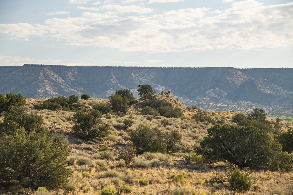 Enchanted Hills TrailHikingPhoto: USDAgov, Public Domain Mark (via Flickr)2.9 mi
Source: Roamze catalog (indexable pages within 10 miles, PostGIS distance)
Rio Rancho Bosque South TrailHiking · ~3 min drivePhoto: snowpeak, CC BY 2.0 (via Flickr) Upper Juan Tabo Canyon TrailHiking · ~12 min drivePhoto: uıɐɾ ʞ ʇɐɯɐs, CC BY-SA 2.0 (via Flickr)Rio Rancho South Bosque Connection PathHiking · ~3 min drivePhoto: John Fowler from Placitas, NM, USA, CC BY 2.0 (via Wikimedia Commons)
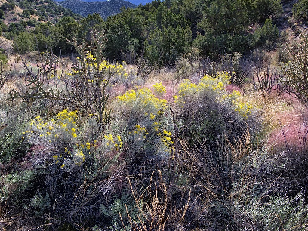 Del Agua TrailHiking · ~12 min drivePhoto: snowpeak, CC BY 2.0 (via Flickr)Corrales North Irrigation Mixed Use TrailHiking · ~3 min drivePhoto: John Fowler from Placitas, NM, USA, CC BY 2.0 (via Wikimedia Commons)
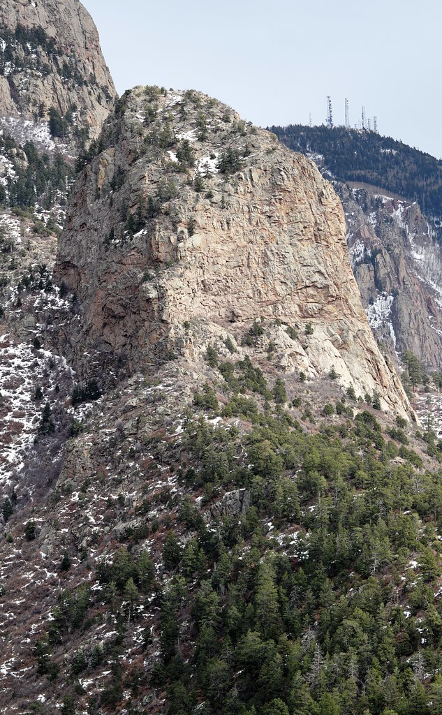 Juan Tabo CanyonHiking · ~12 min drivePhoto: uıɐɾ ʞ ʇɐɯɐs, CC BY-SA 2.0 (via Flickr)Enchanted Hills TrailHiking · ~5 min drivePhoto: USDAgov, Public Domain Mark (via Flickr)Piedra Lisa North TrailHiking · ~12 min drivePhoto: uıɐɾ ʞ ʇɐɯɐs, CC BY-SA 2.0 (via Flickr)
 Red TailHiking · ~8 min drivePhoto: John Fowler from Placitas, NM, USA, CC BY 2.0 (via Wikimedia Commons)
Best months: March–May and September–October. Best months have typical highs of 55–85 °F, lows of 30 °F or warmer (32 °F where the station doesn't record snow), at most one snowy day and no more than 12 wet days.
Jan
47° / 22°
4 wet · 2 snow
Feb
54° / 25°
3 wet · 1 snow
Mar
63° / 32°
3 wet · 1 snow
Apr
72° / 39°
3 wet
May
80° / 48°
5 wet
Jun
92° / 58°
4 wet
Jul
94° / 63°
9 wet
Aug
91° / 61°
10 wet
Sep
84° / 54°
8 wet
Oct
72° / 41°
5 wet
Nov
58° / 29°
3 wet · 1 snow
Dec
47° / 23°
5 wet · 2 snow
Typical high / low (°F) and days with rain or snow, 1991–2020. Measured at Rio Rancho #1, NM, 2.5 mi away at 5,230 ft. Source: NOAA NCEI U.S. Climate Normals 1991–2020.
Map and trail data © OpenStreetMap contributors
