Purgatory Chasm Trail
- 1.3 mi
- round trip
- 189 ft
- climb
- 6,281 ft
- high point
- Out and back
- route
- Apr–May, Sep–Oct
- best months
Caution at last check
Agency alerts are in effect for this area; weather is good · USFS, OpenWeather · checked 16 h ago
Is Purgatory Chasm Trail open right now?
Closure in the area
There's a closure order in Gila National Forest. It doesn't name Purgatory Chasm Trail, so check the source for the area it covers.
Beaverhead Water Non-Potable
Agency closure covering Gila National Forest · USFS · Gila National Forest
Harmful algae detected in Lake Roberts
Agency alert covering Gila National Forest · USFS · Gila National Forest
Potentially Dangerous Animal Encounters
Agency alert covering Gila National Forest · USFS · Gila National Forest
As of · Source: USFS · Gila National Forest. Agencies don't list every closure — check before you go.
Purgatory Chasm Trail is an easy hike in the Wilderness Ranger District of Gila National Forest in New Mexico, managed by the Forest Service. The trail is about 1.26 miles long, with a total elevation gain of 189 feet, and it makes a short out-and-back trip from its low point at about 6,081 feet to a high of about 6,281 feet. Spring and fall are the most comfortable times to go. Typical averages from the nearby Gila Hot Springs weather station show April highs around 73°F and October highs around 75°F, while July and August bring the most wet days, about 12 and 13 a month. Lake Roberts is just 0.1 mile away, and the Lake Roberts Boat Launch and Lake Roberts South Trail are each about 0.3 mile off. Spirit Canyon is about half a mile away.
Local outfitters
- Silver City RV Park19 mi away
- Burro Mountain Homestead RV Park33 mi away
Not on Roamze yet. Their page has how to reach them.
Best time to go · Apr–May, Sep–Oct
Best time to visit Purgatory Chasm Trail
Best months: April–May and September–October. Best months have typical highs of 55–85 °F, lows of 30 °F or warmer (32 °F where the station doesn't record snow), at most one snowy day and no more than 12 wet days.
Jan
57° / 17°
5 wet · 1 snow
Feb
60° / 22°
5 wet
Mar
66° / 25°
4 wet
Apr
73° / 30°
2 wet
May
81° / 36°
3 wet
Jun
90° / 44°
5 wet
Jul
89° / 53°
12 wet
Aug
87° / 53°
13 wet
Sep
83° / 45°
8 wet
Oct
75° / 33°
5 wet
Nov
65° / 24°
4 wet
Dec
56° / 18°
5 wet · 1 snow
Typical high / low (°F) and days with rain or snow, 1991–2020. Measured at Gila Hot Springs, NM, 11.8 mi away at 5,636 ft. The station sits about 600 ft lower than this place, so expect it a little cooler here. Source: NOAA NCEI U.S. Climate Normals 1991–2020.
Keep exploring — more trails worth the drive
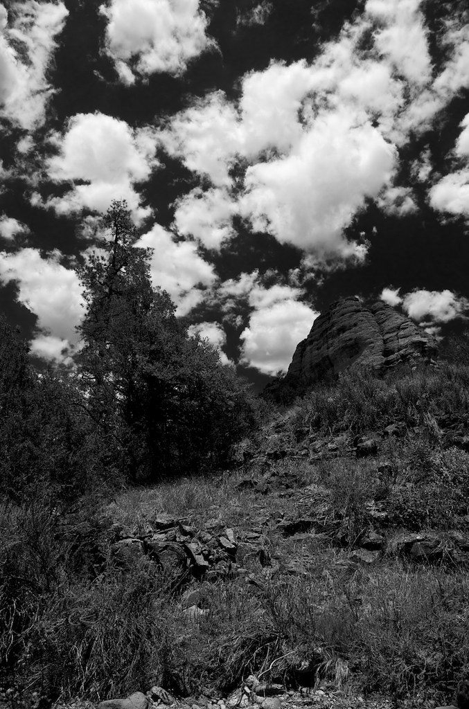 Photo: maximalideal, CC BY-SA 2.0 (via Flickr)
Alum Camp Trail
~16 min drive
2.48-mile out-and-back trail in New Mexico with 1,266 ft elevation gain
HIKE
LAKE ROBERTS
Next door
1.72-mile loop trail at Lake Roberts in New Mexico with 596 ft elevation gain
HIKE
Apache Creek Trail #96
~2 min drive
8.70-mile out-and-back trail in New Mexico with 1,994 ft elevation gain.
HIKE
Granny Mountain Trail #160
~15 min drive
20.34-mile out-and-back trail in New Mexico with 3,925 ft elevation gain.
HIKE
Lake Roberts South Trail
Next door
1.68-mile out-and-back hike with 737 ft gain and loss, reaching 6,098 ft.
HIKE
Spirit Canyon
Next door
0.88-mile out-and-back trail in Spirit Canyon, New Mexico with 60 ft of elevation gain.
HIKE
Rocky Canyon Trail #700
~4 min drive
9.67-mile out-and-back hike in Rocky Canyon with 2,198 ft gain.
HIKE
Sapillo Trail
~4 min drive
6.62-mile out-and-back trail in New Mexico with 1,266 ft elevation gain
HIKE
Sapillo Group Campground Road
~4 min drive
0.93-mile out-and-back trail to Sapillo Group Campground in New Mexico
HIKE
Military Trail #709
~11 min drive
6.74-mile out-and-back trail in New Mexico with 342 ft gain.
Map and trail data © OpenStreetMap contributors
