Pueblo Bonito Trail
 Photo: Greg Willis from Denver, CO, usa, CC BY-SA 2.0 (via Wikimedia Commons)
- 0.3 mi
- round trip
- 13 ft
- climb
- 6,149 ft
- high point
- Out and back
- route
- May, Sep–Oct
- best months
Is Pueblo Bonito Trail open right now?
Alert in the area
The National Park Service lists an alert for Chaco Culture National Historical Park.
Road conditions 11/13/26
Park alert covering Chaco Culture National Historical Park · NPS · Chaco Culture National Historical Park
As of · Source: NPS · Chaco Culture National Historical Park. Agencies don't list every closure — check before you go.
Pueblo Bonito Trail is a short, easy hike in Chaco Culture National Historical Park in New Mexico, managed by the National Park Service. The trail is about 0.3 miles long and rises about 13 feet from a low point of 6,113 feet to a high of 6,149 feet, making it an out-and-back route that fits easily into a day spent exploring the park. The nearest town is Kimbeto, about 11 miles away. A fee is charged for the visit. Spring and fall are the most comfortable times to go. Typical averages from a nearby weather station show May highs around 76°F and October highs around 68°F, while July and August average about 90°F with more wet days. Several other trails start close by. Petroglyph Trail is about 0.3 miles away, Peñasco Blanco trail about 0.7 miles, and Tsin Kletsin Trail about a mile. Gallo Campground, roughly 2.4 miles off, offers a place to stay.
- Petroglyph TrailHiking0.3 mi
- Peñasco Blanco trailHikingPhoto: Greg Willis from Denver, CO, usa, CC BY-SA 2.0 (via Wikimedia Commons)0.7 mi
 Tsin Kletsin TrailHikingPhoto: Greg Willis from Denver, CO, usa, CC BY-SA 2.0 (via Wikimedia Commons)1 mi
 Petroglyphs trailHikingPhoto: Greg Willis from Denver, CO, usa, CC BY-SA 2.0 (via Wikimedia Commons)1.5 mi
- South Mesa TrailHikingPhoto: Greg Willis from Denver, CO, usa, CC BY-SA 2.0 (via Wikimedia Commons)1.8 mi
 Gallo CampgroundCampingPhoto: Recreation.gov (RIDB) / public domain2.4 mi
 Trail to Valley of DreamsHikingPhoto: snowpeak, CC BY 2.0 (via Flickr)4.9 mi
 Ah-Shi-Sle-Pah-TrailHikingPhoto: Alexander Hatley, CC BY 2.0 (via Flickr)6.5 mi
Source: Roamze catalog (indexable pages within 10 miles, PostGIS distance)
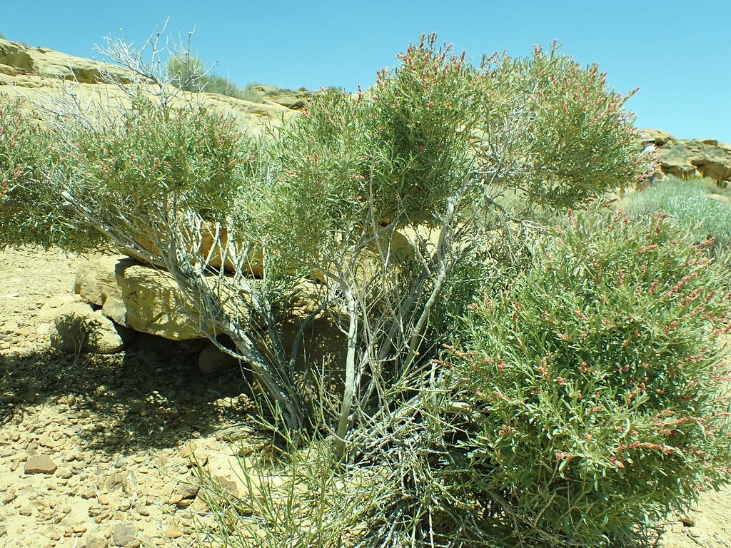 Pueblo Alto Loop TrailHiking · Next doorPhoto: Matt Lavin, CC BY-SA 2.0 (via Flickr)
- Tsin Kletsin TrailHiking · ~2 min drivePhoto: Greg Willis from Denver, CO, usa, CC BY-SA 2.0 (via Wikimedia Commons)
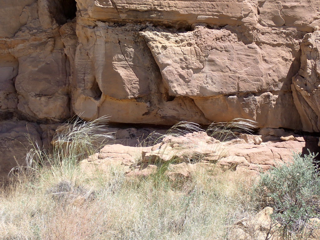 Chetro Ketl TrailHiking · Next doorPhoto: Matt Lavin, CC BY-SA 2.0 (via Flickr)
- South Mesa TrailHiking · ~3 min drivePhoto: Greg Willis from Denver, CO, usa, CC BY-SA 2.0 (via Wikimedia Commons)
- Casa Rinconada TrailHiking · ~1 min drivePhoto: Matt Lavin, CC BY-SA 2.0 (via Flickr)
 De Na Zin Wilderness TrailHiking · ~30 min drivePhoto: Alexander Hatley, CC BY 2.0 (via Flickr)
- Peñasco Blanco trailHiking · ~1 min drivePhoto: Greg Willis from Denver, CO, usa, CC BY-SA 2.0 (via Wikimedia Commons)
 Bisti TrailHiking · ~35 min drivePhoto: Seth Tisue, CC BY-SA 2.0 (via Flickr)
- Petroglyphs trailHiking · ~2 min drivePhoto: Greg Willis from Denver, CO, usa, CC BY-SA 2.0 (via Wikimedia Commons)
 Lybrook Badlands TrailHiking · ~38 min drivePhoto: Ekotyk, CC BY-SA 4.0 (via Wikimedia Commons)
Best time to visit Pueblo Bonito Trail
Best months: May and September–October. Best months have typical highs of 55–85 °F, lows of 30 °F or warmer (32 °F where the station doesn't record snow), at most one snowy day and no more than 12 wet days.
Jan
43° / 13°
4 wet · 2 snow
Feb
49° / 18°
4 wet · 2 snow
Mar
58° / 22°
4 wet · 1 snow
Apr
66° / 29°
4 wet
May
76° / 37°
4 wet
Jun
87° / 47°
4 wet
Jul
90° / 55°
8 wet
Aug
87° / 53°
8 wet
Sep
80° / 44°
6 wet
Oct
68° / 31°
5 wet
Nov
55° / 20°
4 wet · 1 snow
Dec
44° / 13°
5 wet · 2 snow
Typical high / low (°F) and days with rain or snow, 1991–2020. Measured at Chaco Canyon Natl Mon, NM, 3.9 mi away at 6,174 ft. Source: NOAA NCEI U.S. Climate Normals 1991–2020.


Map and trail data © OpenStreetMap contributors
