Ah-Shi-Sle-Pah-Trail
 Photo: Alexander Hatley, CC BY 2.0 (via Flickr)
- 1.1 mi
- loop
- 95 ft
- climb
- 6,291 ft
- high point
- Loop
- route
- May, Sep–Oct
- best months
Ah-Shi-Sle-Pah Trail is a short, easy loop in the Ah-shi-sle-pah Wilderness of New Mexico, on land managed by the Bureau of Land Management's Farmington Field Office. The trail is about a mile long, with a total elevation gain of 95 feet, and it makes a quick outing for anyone already exploring this corner of the wilderness. The route is a loop, and it starts and ends at nearly the same elevation, with the high point at 6,291 feet and the low at 6,229 feet. The steepest stretch comes at about 0.77 miles in, with a grade of about 6 percent. The whole trip takes roughly half an hour, so it works well as a short break or a warm-up before heading to other trails in the area. Spring and fall are the most comfortable times to go. Typical averages from a nearby weather station at Chaco Canyon show May highs around 76°F and October highs around 68°F, while July and August average about 90°F with more wet days. Several other trails lie within a few miles. Trail to Valley of Dreams is about 3 miles away, and KoW Trail and Trail to King of Wings are both within about 5 miles. For an overnight stay, Gallo Campground is roughly 9 miles off.
 Trail to Valley of DreamsHikingPhoto: snowpeak, CC BY 2.0 (via Flickr)3.1 mi
 KoW TrailHikingPhoto: snowpeak, CC BY 2.0 (via Flickr)4.1 mi
- Trail to King of WingsHiking4.8 mi
 Petroglyphs trailHikingPhoto: Greg Willis from Denver, CO, usa, CC BY-SA 2.0 (via Wikimedia Commons)6.3 mi
 Peñasco Blanco trailHikingPhoto: Greg Willis from Denver, CO, usa, CC BY-SA 2.0 (via Wikimedia Commons)6.3 mi
- Pueblo Bonito TrailHikingPhoto: Greg Willis from Denver, CO, usa, CC BY-SA 2.0 (via Wikimedia Commons)6.5 mi
- Petroglyph TrailHiking6.5 mi
 Gallo CampgroundCampingPhoto: Recreation.gov (RIDB) / public domain8.6 mi
Source: Roamze catalog (indexable pages within 10 miles, PostGIS distance)
- Trail to Valley of DreamsHiking · ~5 min drivePhoto: snowpeak, CC BY 2.0 (via Flickr)
 Tsin Kletsin TrailHiking · ~13 min drivePhoto: Greg Willis from Denver, CO, usa, CC BY-SA 2.0 (via Wikimedia Commons)
- KoW TrailHiking · ~7 min drivePhoto: snowpeak, CC BY 2.0 (via Flickr)
- South Mesa TrailHiking · ~14 min drivePhoto: Greg Willis from Denver, CO, usa, CC BY-SA 2.0 (via Wikimedia Commons)
- Petroglyphs trailHiking · ~11 min drivePhoto: Greg Willis from Denver, CO, usa, CC BY-SA 2.0 (via Wikimedia Commons)
 De Na Zin Wilderness TrailHiking · ~22 min drivePhoto: Alexander Hatley, CC BY 2.0 (via Flickr)
- Peñasco Blanco trailHiking · ~11 min drivePhoto: Greg Willis from Denver, CO, usa, CC BY-SA 2.0 (via Wikimedia Commons)
 Lybrook Badlands TrailHiking · ~31 min drivePhoto: Ekotyk, CC BY-SA 4.0 (via Wikimedia Commons)
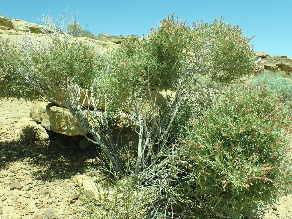 Pueblo Alto Loop TrailHiking · ~11 min drivePhoto: Matt Lavin, CC BY-SA 2.0 (via Flickr)
 Bisti TrailHiking · ~33 min drivePhoto: Seth Tisue, CC BY-SA 2.0 (via Flickr)
Best time to visit Ah-Shi-Sle-Pah-Trail
Best months: May and September–October. Best months have typical highs of 55–85 °F, lows of 30 °F or warmer (32 °F where the station doesn't record snow), at most one snowy day and no more than 12 wet days.
Jan
43° / 13°
4 wet · 2 snow
Feb
49° / 18°
4 wet · 2 snow
Mar
58° / 22°
4 wet · 1 snow
Apr
66° / 29°
4 wet
May
76° / 37°
4 wet
Jun
87° / 47°
4 wet
Jul
90° / 55°
8 wet
Aug
87° / 53°
8 wet
Sep
80° / 44°
6 wet
Oct
68° / 31°
5 wet
Nov
55° / 20°
4 wet · 1 snow
Dec
44° / 13°
5 wet · 2 snow
Typical high / low (°F) and days with rain or snow, 1991–2020. Measured at Chaco Canyon Natl Mon, NM, 8.3 mi away at 6,174 ft. Source: NOAA NCEI U.S. Climate Normals 1991–2020.


Map and trail data © OpenStreetMap contributors
