Petroglyph Trail
- 0.4 mi
- round trip
- 191 ft
- climb
- 6,199 ft
- high point
- Out and back
- route
- May, Sep–Oct
- best months
Is Petroglyph Trail open right now?
Alert in the area
The National Park Service lists an alert for Chaco Culture National Historical Park.
Road conditions 11/13/26
Park alert covering Chaco Culture National Historical Park · NPS · Chaco Culture National Historical Park
As of · Source: NPS · Chaco Culture National Historical Park. Agencies don't list every closure — check before you go.
Petroglyph Trail is a short, easy out-and-back hike in Chaco Culture National Historical Park in New Mexico, managed by the National Park Service. The trail is about 0.4 miles long, with a total elevation gain of about 190 feet, and it starts and ends at roughly 6,130 feet, with the high point at about 6,199 feet. The climb is gentle, with the steepest stretch at the start, about 5% grade, and the trail is best suited to a quick stop rather than a full day on foot. Spring and fall are the most comfortable times to visit. Typical averages from a nearby weather station show May highs around 76°F and October highs around 68°F, while July and August average about 90°F with more wet days. The Pueblo Bonito Trail lies about 0.3 miles away, and the Tsin Kletsin Trail and Peñasco Blanco trail are each about a mile off. For an overnight stay, Gallo Campground is about 2.2 miles away.
 Pueblo Bonito TrailHikingPhoto: Greg Willis from Denver, CO, usa, CC BY-SA 2.0 (via Wikimedia Commons)0.3 mi
 Tsin Kletsin TrailHikingPhoto: Greg Willis from Denver, CO, usa, CC BY-SA 2.0 (via Wikimedia Commons)1 mi
- Peñasco Blanco trailHikingPhoto: Greg Willis from Denver, CO, usa, CC BY-SA 2.0 (via Wikimedia Commons)1.1 mi
- South Mesa TrailHikingPhoto: Greg Willis from Denver, CO, usa, CC BY-SA 2.0 (via Wikimedia Commons)1.6 mi
 Petroglyphs trailHikingPhoto: Greg Willis from Denver, CO, usa, CC BY-SA 2.0 (via Wikimedia Commons)1.8 mi
 Gallo CampgroundCampingPhoto: Recreation.gov (RIDB) / public domain2.2 mi
 Trail to Valley of DreamsHikingPhoto: snowpeak, CC BY 2.0 (via Flickr)5.1 mi
 Ah-Shi-Sle-Pah-TrailHikingPhoto: Alexander Hatley, CC BY 2.0 (via Flickr)6.5 mi
Source: Roamze catalog (indexable pages within 10 miles, PostGIS distance)
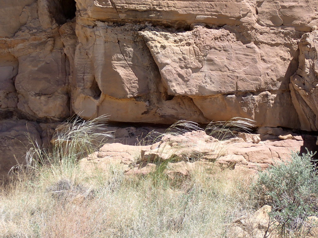 Chetro Ketl TrailHiking · Next doorPhoto: Matt Lavin, CC BY-SA 2.0 (via Flickr)
- Tsin Kletsin TrailHiking · ~2 min drivePhoto: Greg Willis from Denver, CO, usa, CC BY-SA 2.0 (via Wikimedia Commons)
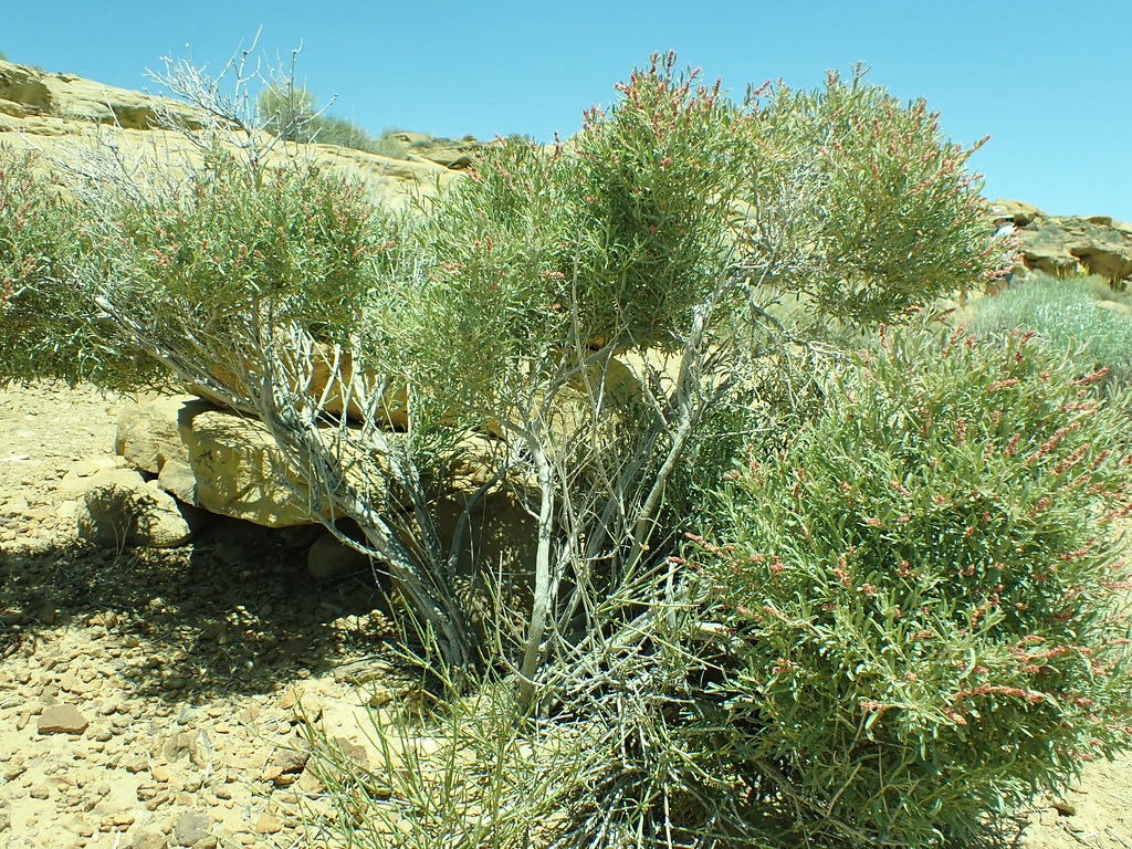 Pueblo Alto Loop TrailHiking · Next doorPhoto: Matt Lavin, CC BY-SA 2.0 (via Flickr)
- South Mesa TrailHiking · ~3 min drivePhoto: Greg Willis from Denver, CO, usa, CC BY-SA 2.0 (via Wikimedia Commons)
- Pueblo Bonito TrailHiking · Next doorPhoto: Greg Willis from Denver, CO, usa, CC BY-SA 2.0 (via Wikimedia Commons)
 De Na Zin Wilderness TrailHiking · ~31 min drivePhoto: Alexander Hatley, CC BY 2.0 (via Flickr)
- Casa Rinconada TrailHiking · Next doorPhoto: Matt Lavin, CC BY-SA 2.0 (via Flickr)
 Bisti TrailHiking · ~36 min drivePhoto: Seth Tisue, CC BY-SA 2.0 (via Flickr)
- Peñasco Blanco trailHiking · ~2 min drivePhoto: Greg Willis from Denver, CO, usa, CC BY-SA 2.0 (via Wikimedia Commons)
 Lybrook Badlands TrailHiking · ~38 min drivePhoto: Ekotyk, CC BY-SA 4.0 (via Wikimedia Commons)
Best time to visit Petroglyph Trail
Best months: May and September–October. Best months have typical highs of 55–85 °F, lows of 30 °F or warmer (32 °F where the station doesn't record snow), at most one snowy day and no more than 12 wet days.
Jan
43° / 13°
4 wet · 2 snow
Feb
49° / 18°
4 wet · 2 snow
Mar
58° / 22°
4 wet · 1 snow
Apr
66° / 29°
4 wet
May
76° / 37°
4 wet
Jun
87° / 47°
4 wet
Jul
90° / 55°
8 wet
Aug
87° / 53°
8 wet
Sep
80° / 44°
6 wet
Oct
68° / 31°
5 wet
Nov
55° / 20°
4 wet · 1 snow
Dec
44° / 13°
5 wet · 2 snow
Typical high / low (°F) and days with rain or snow, 1991–2020. Measured at Chaco Canyon Natl Mon, NM, 3.6 mi away at 6,174 ft. Source: NOAA NCEI U.S. Climate Normals 1991–2020.


Map and trail data © OpenStreetMap contributors
