Picacho Peak Trail
- 1.8 mi
- round trip
- 1,222 ft
- climb
- 8,576 ft
- high point
- Out and back
- route
- Apr–Jun, Aug–Oct
- best months
Picacho Peak Trail is a moderate out-and-back hike in New Mexico, set within the Santa Fe River Fee on land managed by a non-governmental organization. The route is 3.5 miles long, with a one-way elevation gain of 1,222 feet, taking you from a low point of 7,344 feet to a high of 8,576 feet at the peak. Spring and fall are the most comfortable times to go. Typical averages from a nearby weather station in Santa Fe show May highs around 73°F and October highs around 66°F, while July and August bring the most wet days, about 11 each month. That station sits roughly 1,600 feet lower than the trail's high point, so temperatures up top run cooler. The trail sits close to several other routes. Main Loop is 0.4 miles away and Bear Canyon Trail is 0.5 miles away. Dorothy Stewart Trail is about a mile off, and Black Canyon (New) Campground is roughly 4 miles away for an overnight stay.
Local outfitters
- Turquoise Trail Campground46 mi away
Not on Roamze yet. Their page has how to reach them.
Best time to go · Apr–Jun, Aug–Oct
Best time to visit Picacho Peak Trail
Best months: April–June and August–October. Best months have typical highs of 55–85 °F, lows of 30 °F or warmer (32 °F where the station doesn't record snow), at most one snowy day and no more than 12 wet days.
Jan
43° / 21°
5 wet
Feb
47° / 23°
5 wet
Mar
56° / 29°
5 wet
Apr
63° / 34°
4 wet
May
73° / 44°
4 wet
Jun
84° / 54°
6 wet
Jul
86° / 57°
11 wet
Aug
83° / 56°
11 wet
Sep
77° / 50°
7 wet
Oct
66° / 39°
6 wet
Nov
52° / 28°
5 wet
Dec
42° / 21°
6 wet
Typical high / low (°F) and days with rain or snow, 1991–2020. Measured at Santa Fe Seton, NM, 6.3 mi away at 7,000 ft. The station sits about 1,600 ft lower than this place, so expect it a little cooler here. This station doesn't record snowfall. Source: NOAA NCEI U.S. Climate Normals 1991–2020.
Keep exploring — more trails worth the drive
 Photo: Matt Lavin, CC BY-SA 2.0 (via Flickr)
Bear Canyon Trail
Next door
2.3-mile out-and-back hike in New Mexico with 803 ft gain/loss.
 Photo: Bryan Ungard from Santa Fe, New Mexico, USA, CC BY-SA 2.0 (via Wikimedia Commons)
Atalaya
~2 min drive
Atalaya is a 4.68-mile out-and-back trail in New Mexico with 1,745 feet of elevation gain.
HIKE
Baldy
~7 min drive
12.60-mile out-and-back trail in New Mexico with 2,677 ft elevation gain.
 Photo: BFS Man from Webster, TX, USA, CC BY 2.0 (via Wikimedia Commons)
Dorothy Stewart Trail
~2 min drive
1.08-mile out-and-back hike in New Mexico with 351 ft elevation gain
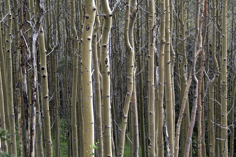 Photo: awsheffield, CC BY 2.0 (via Flickr)
Galbaldon Trail
~7 min drive
2.72-mile out-and-back trail in New Mexico with 1,515 ft elevation gain and loss.
 Photo: KathyKnorr - Santa Fe - New Mexico, CC BY-SA 2.0 (via Flickr)
Ann Nitze Hiking Trail
~2 min drive
0.62-mile out-and-back hike with 212 ft elevation gain in New Mexico.
 Photo: Michael Zanussi, CC BY 2.0 (via Flickr)
Saddleback
~8 min drive
4.98-mile out-and-back trail in New Mexico with 671 ft elevation gain.
Photo: BFS Man from Webster, TX, USA, CC BY 2.0 (via Wikimedia Commons)St. John's
~2 min drive
1.26-mile out-and-back trail in New Mexico with 337 ft elevation gain.
Photo: awsheffield, CC BY 2.0 (via Flickr)West Circle Trail
~8 min drive
4.3-mile out-and-back trail in New Mexico with 1,874 ft elevation gain and loss.
 Photo: Lars Plougmann, CC BY-SA 2.0 (via Flickr)
St John's Arroyo Trail
~3 min drive
4.1-mile out-and-back trail in New Mexico with 534 ft elevation gain.
Map and trail data © OpenStreetMap contributors
