Juniper Campground Loop A
Campground
Campground · 0.9 mi from the trail
 Photo: NPS
Alert in the area
The National Park Service lists an alert for Bandelier National Monument.
The Use of GPS is NOT Recommended
Park alert covering Bandelier National Monument · NPS · Bandelier National Monument
As of · Source: NPS · Bandelier National Monument. Agencies don't list every closure — check before you go.
For the next hundred yards you will be walking past Long House. Look for the base layers of rocks that served as the bottom of walls. Today these look-like outlines of stone boxes but once they would have stood several stories high. Take a closer look at the cliff wall behind them. Do you see the linear rows of holes? These mark the locations of vigas (roof beams) that supported roofs. Numerous stone structures similar to Talus House would have lined the base of the cliff all along this area, hence the name, Long House.
Juniper Campground Loop A
Campground
 If it rainsNewMexicophotographer1, CC BY-SA 4.0 · Wikimedia Commons
Places © OpenStreetMap contributors · Photos: NewMexicophotographer1, CC BY-SA 4.0 (commons)
More in Santo Domingo PuebloNot on Roamze yet. Their page has how to reach them.
 Orchard Pueblo Loop Trail Stop 18HikingPhoto: NPS0.1 mi
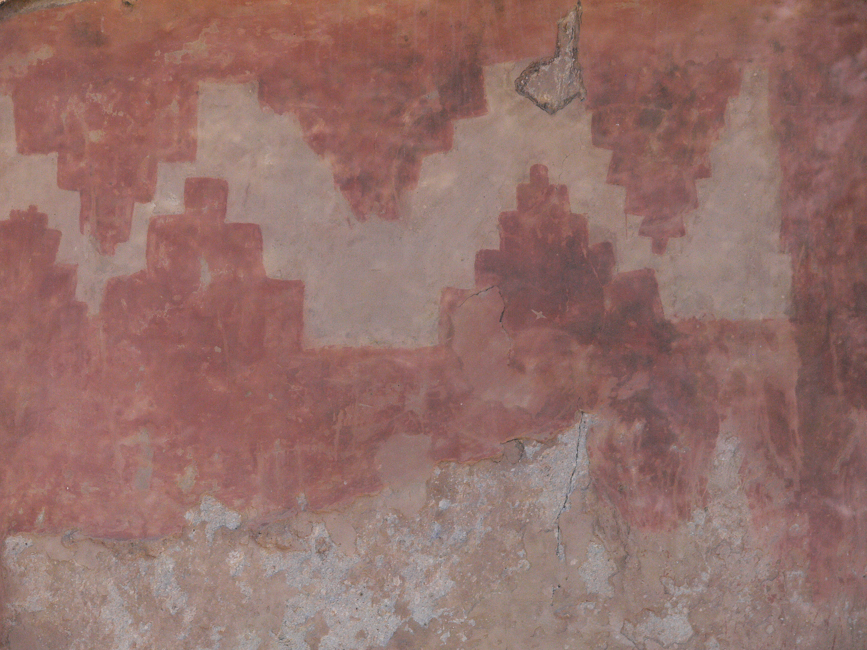 Rock Drawings Pueblo Loop Trail Stop 20HikingPhoto: NPS0.1 mi
 Pueblo Loop TrailHikingPhoto: olekinderhook, CC BY 3.0 (via Wikimedia Commons)0.1 mi
 Junction Pueblo Loop Trail Stop 17HikingPhoto: NPS0.1 mi
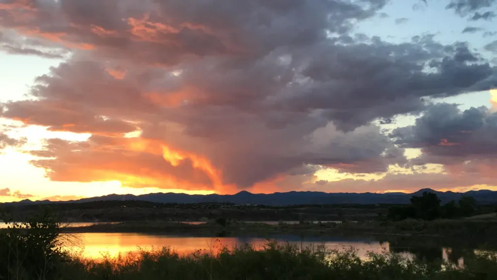 Tetilla PeakCampingPhoto: Recreation.gov (RIDB) / public domain9.6 mi
Source: Roamze catalog (indexable pages within 10 miles, PostGIS distance)
Pueblo Loop TrailHiking · Next doorPhoto: olekinderhook, CC BY 3.0 (via Wikimedia Commons) Burro TrailHiking · Next doorPhoto: MARELBU, CC BY 3.0 (via Wikimedia Commons)
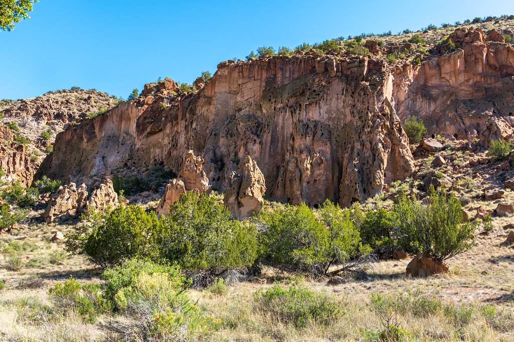 Alcove House TrailHiking · Next doorPhoto: dconvertini, CC BY-SA 2.0 (via Flickr)
Best months: March–May and October. Best months have typical highs of 55–85 °F, lows of 30 °F or warmer (32 °F where the station doesn't record snow), at most one snowy day and no more than 12 wet days.
Jan
50° / 20°
4 wet · 1 snow
Feb
56° / 24°
4 wet · 1 snow
Mar
64° / 30°
4 wet
Apr
71° / 37°
4 wet
May
81° / 46°
5 wet
Jun
92° / 56°
5 wet
Jul
94° / 61°
10 wet
Aug
92° / 59°
10 wet
Sep
86° / 52°
6 wet
Oct
74° / 39°
5 wet
Nov
60° / 28°
4 wet
Dec
50° / 20°
4 wet · 1 snow
Typical high / low (°F) and days with rain or snow, 1991–2020. Measured at Cochiti Dam, NM, 10.3 mi away at 5,560 ft. The station sits about 600 ft lower than this place, so expect it a little cooler here. Source: NOAA NCEI U.S. Climate Normals 1991–2020.
