Na-Na-Ka
- 7.1 mi
- round trip
- 830 ft
- climb
- 9,909 ft
- high point
- Out and back
- route
Is Na-Na-Ka open right now?
Alert in the area
The Forest Service lists 3 alerts for Santa Fe National Forest.
Road Conditions
Agency alert covering Santa Fe National Forest · USFS · Santa Fe National Forest
Campground and Equestrian Area Closure for Field Tract and Jacks Creek
Agency alert covering Pecos-Las Vegas Ranger District · Order 03-10-05-26-12 · USFS · Pecos-Las Vegas Ranger District
Temporary area, road, and trail closures for Hermits Peak and Calf Canyon post-fire impacts
Agency alert covering Pecos-Las Vegas Ranger District · Order 03-10-05-26-05 · USFS · Pecos-Las Vegas Ranger District
As of · Source: USFS · Santa Fe National Forest. Agencies don't list every closure — check before you go.
Na-Na-Ka is a hard hike of about 7 miles in the Pecos-Las Vegas Ranger District of the Santa Fe National Forest in northern New Mexico, managed by the Forest Service. The trail is an out-and-back, with a one-way climb of about 830 feet from a low point of roughly 9,057 feet to a high of about 9,909 feet. The route is natural-surfaced and allows bikes, so it works for hikers and riders alike. Johnson Mesa Campground sits just 0.2 miles away, making it the closest place to camp. For more time on foot, the Gallinas hike is about 2.7 miles off, and the Beaver Creek and Hermits Peak hikes are each about 3.3 miles away. Climbers can head to Lower Slabs, about 3 miles from the trail.
Local outfitters
- Taos Mountain Outfitters49 mi away
Not on Roamze yet. Their page has how to reach them.
Keep exploring — more trails worth the drive
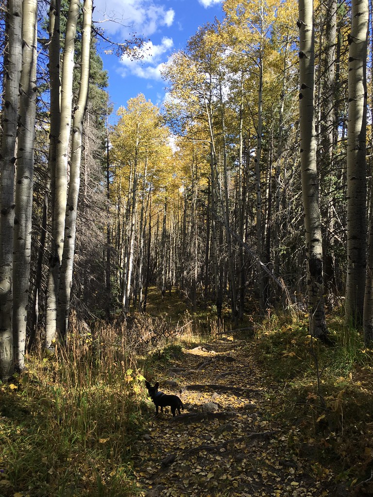 Photo: feverblue, CC BY-SA 2.0 (via Flickr)
Winsor Trail (254)
~27 min drive
12.86-mile out-and-back hike in New Mexico with 3,574 ft elevation gain and loss.
HIKE
Gallinas
~5 min drive
9.07-mile out-and-back trail in New Mexico with 2,508 ft elevation gain.
HIKE
Las Dispensas
~6 min drive
3.10-mile out-and-back trail in New Mexico with 723 ft elevation gain.
HIKE
Blue Bell
~10 min drive
1.4-mile out-and-back trail in New Mexico with 33 ft of elevation gain.
HIKE
Skyline Trail (251)
~12 min drive
57.59-mile out-and-back trail in New Mexico with 4,685 ft elevation gain.
HIKE
Beaver Creek
~6 min drive
25.94-mile out-and-back trail in New Mexico with 4,019 ft elevation gain.
HIKE
Hollinger
~7 min drive
4.02-mile out-and-back trail in New Mexico with 905 ft elevation gain.
HIKE
North Loop
~18 min drive
0.72-mile out-and-back trail in New Mexico with 352 ft elevation gain.
HIKE
Rociada Trail (250)
~22 min drive
13.6-mile out-and-back hike in New Mexico with 3,602 ft elevation gain/loss.
HIKE
Hermits Peak
~6 min drive
17.86-mile out-and-back trail at Hermits Peak in New Mexico with 3,513 ft of elevation gain.

