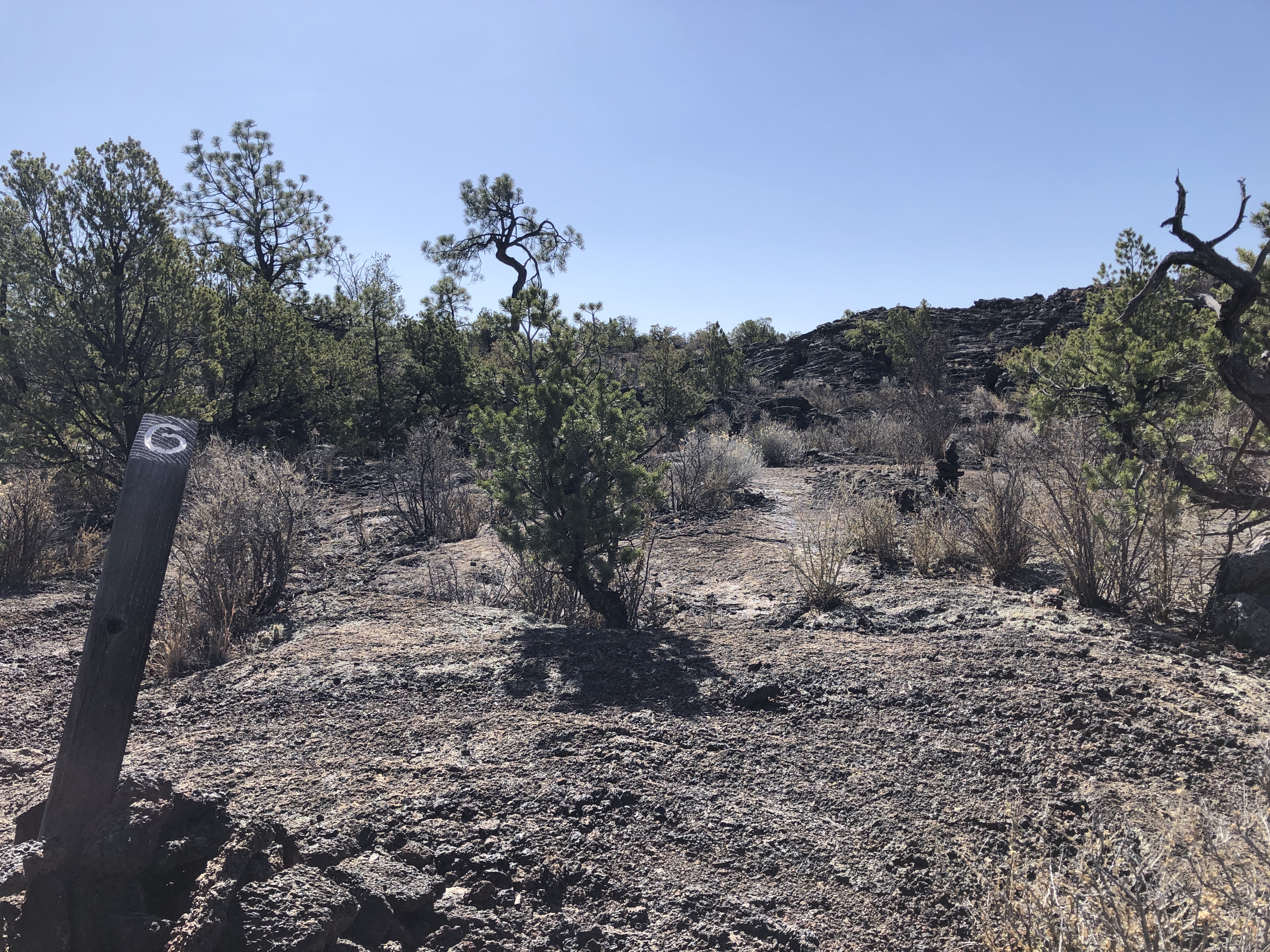
Lava Falls Trail Stop #6
- Apr–Oct
- best months
Is Lava Falls Trail Stop #6 open right now?
Closure in the area
There's a closure order in El Malpais National Monument. It doesn't name Lava Falls Trail Stop #6, so check the source for the area it covers (2 listed).
El Calderon Trail closed for construction through November 2026
Park closure covering El Malpais National Monument · NPS · El Malpais National Monument
All lava tube caves closed November 1 through April 30
Park closure covering El Malpais National Monument · NPS · El Malpais National Monument
NPS 300 Road Conditions
Park alert covering El Malpais National Monument · NPS · El Malpais National Monument
As of · Source: NPS · El Malpais National Monument. Agencies don't list every closure — check before you go.
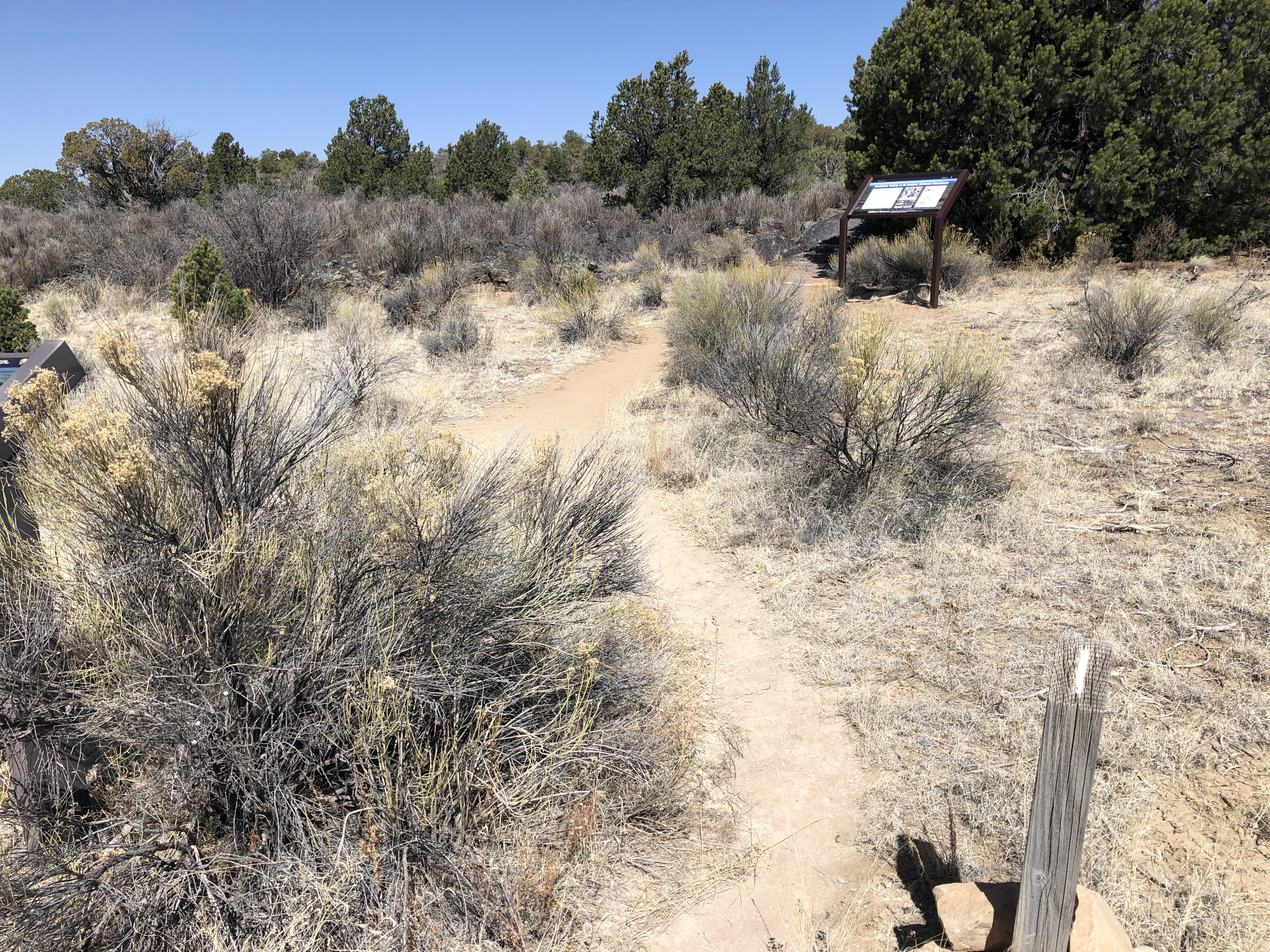
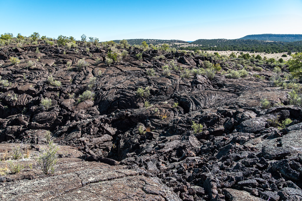
Although lava rock does not have many nutrients for plants to use, the McCartys lava creates a reservoir of precious water plants need to survive. Water trickles through the cracks of the rock and collects beneath the lava while still protected from the intense sunlight and wind. Trees find enough water and nutrients below the lava to survive, but not enough to reach the lofty heights of trees found off lava flows. In non-lava habitats, ponderosa pine can grow up to two hundred feet (61 meters) tall and grow straight upwards, and pinon pines can grow 10-20 feet (3-6 meters) tall and grows at crooked angles. How do the trees around you compare? Many other plants also find this as a suitable environment. Hedgehog cacti and claret cup cacti bloom in late spring. Other wildflowers such as Apache plume and vervain appear as summer storms bring more water, and plants like New Mexico olive and rubber rabbitbrush bloom into late autumn. Is anything blooming around you today?
Local outfitters
- El Morro RV Park & Cabins29 mi away
- Pie Town RV Park31 mi away
Not on Roamze yet. Their page has how to reach them.
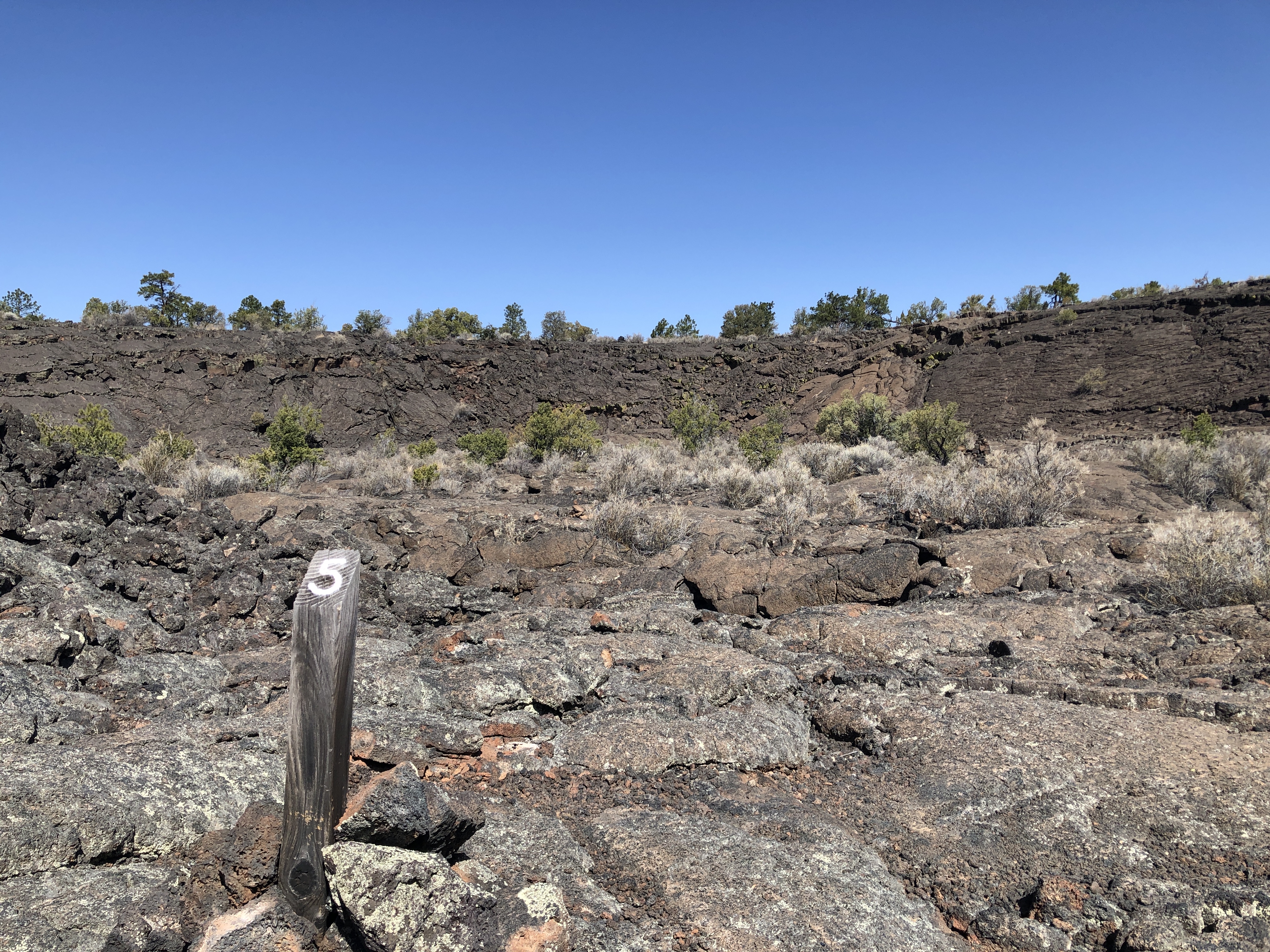 Lava Falls Trail Stop #5Hiking0.1 mi
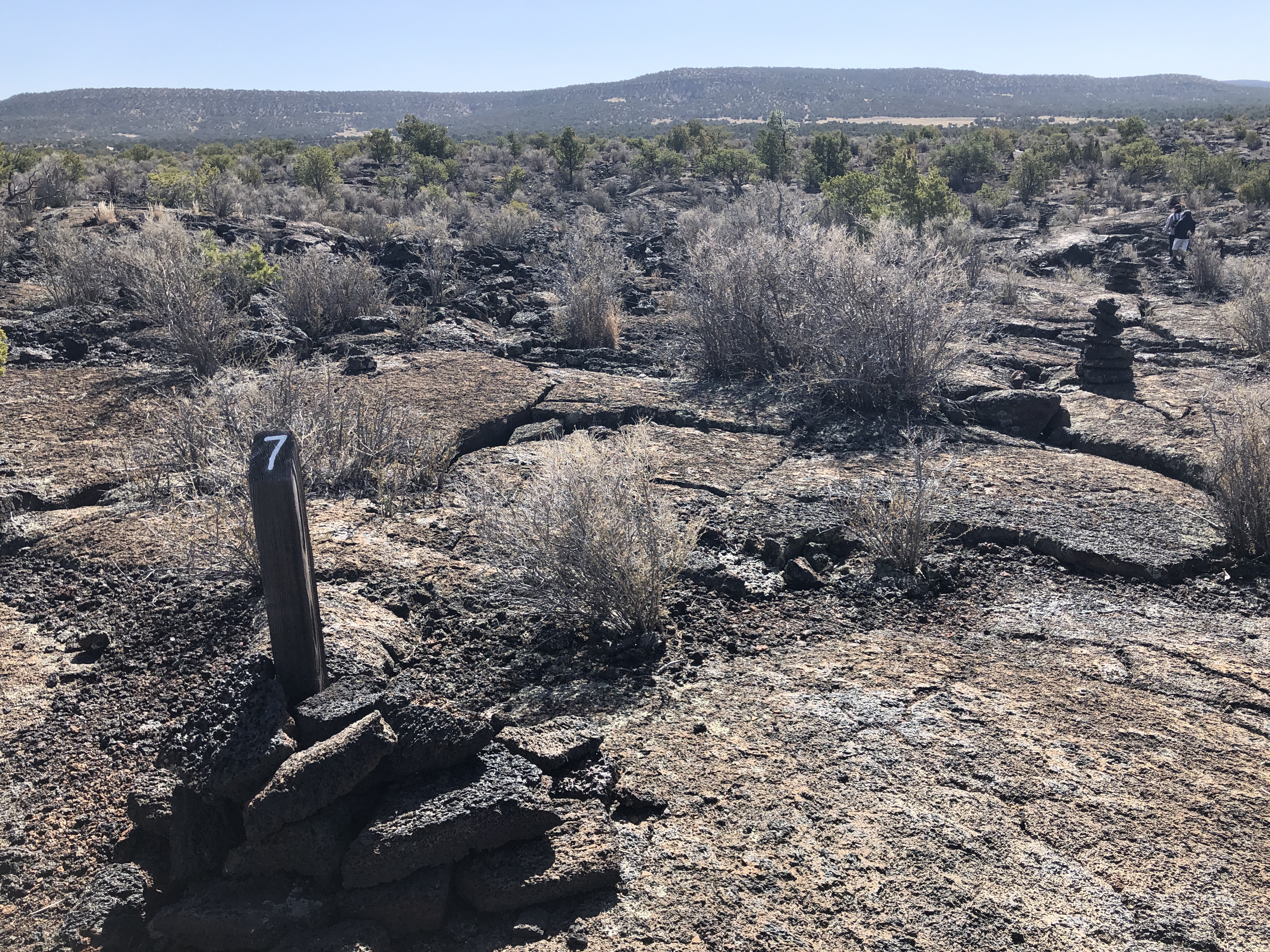 Lava Falls Trail Stop #7Hiking0.1 mi
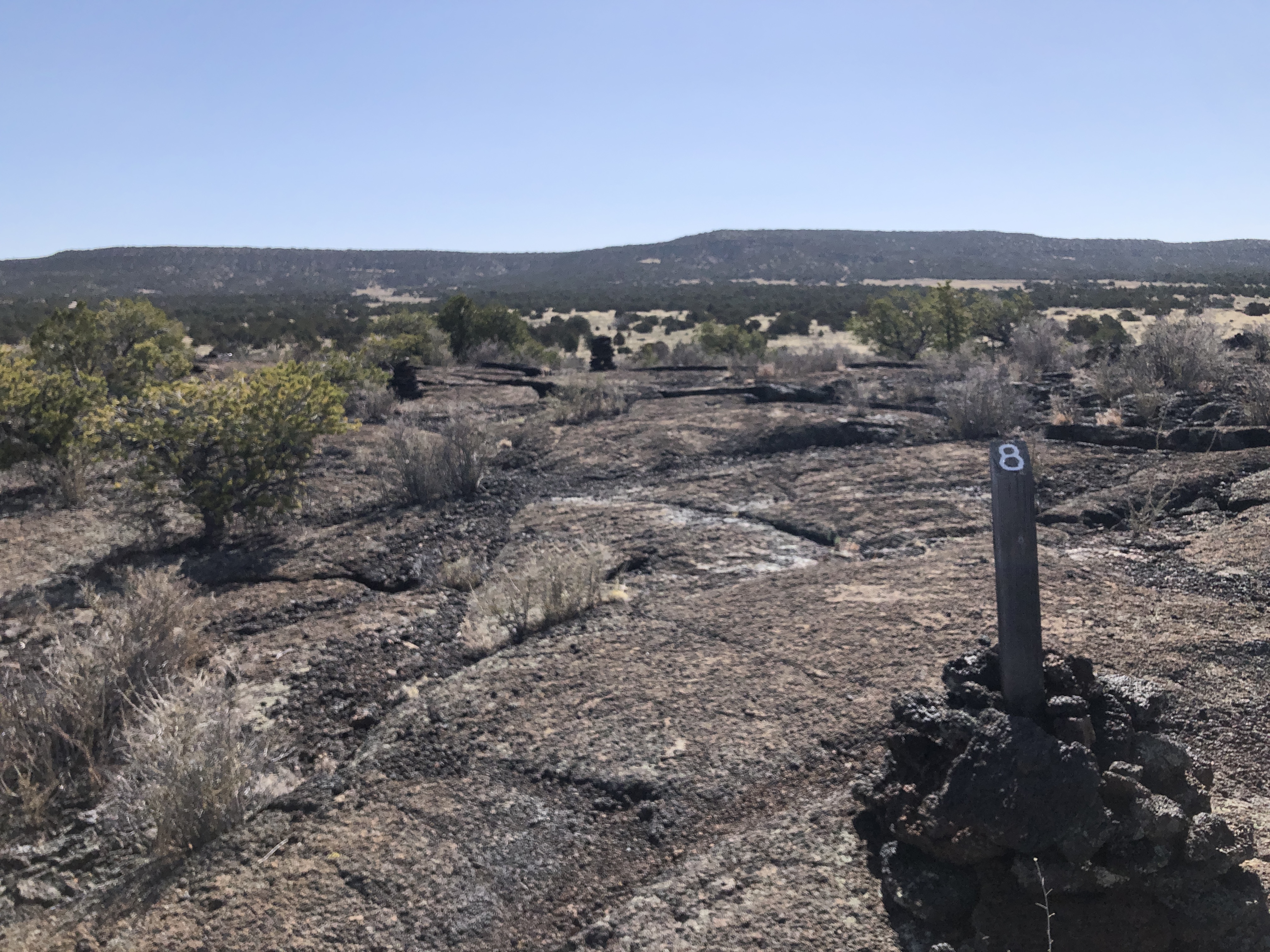 Lava Falls Trail Stop #8Hiking0.2 mi
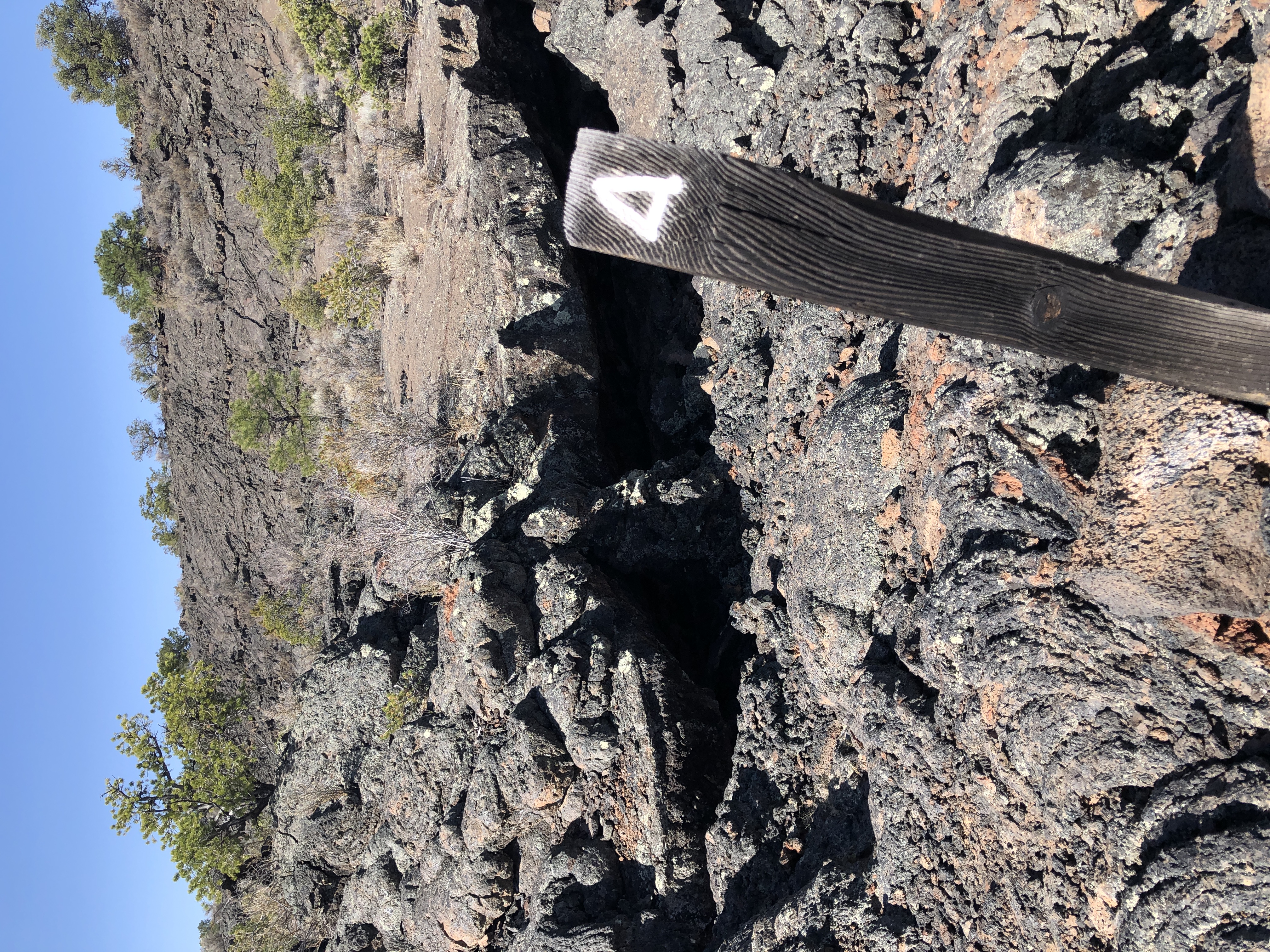 Lava Falls Trail Stop #4Hiking0.2 mi
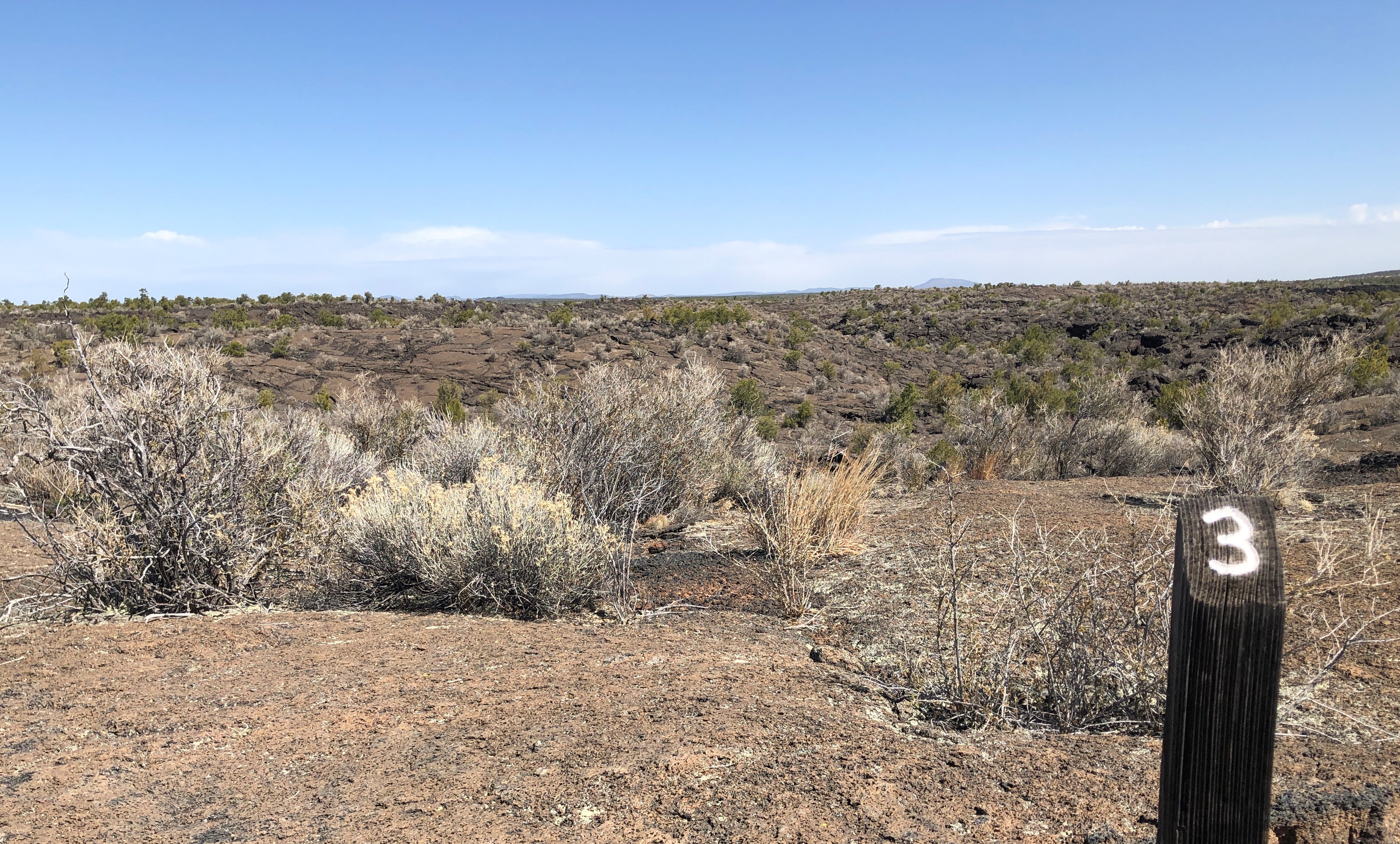 Lava Falls Trail Stop #3HikingPhoto: NPS Photo0.2 mi
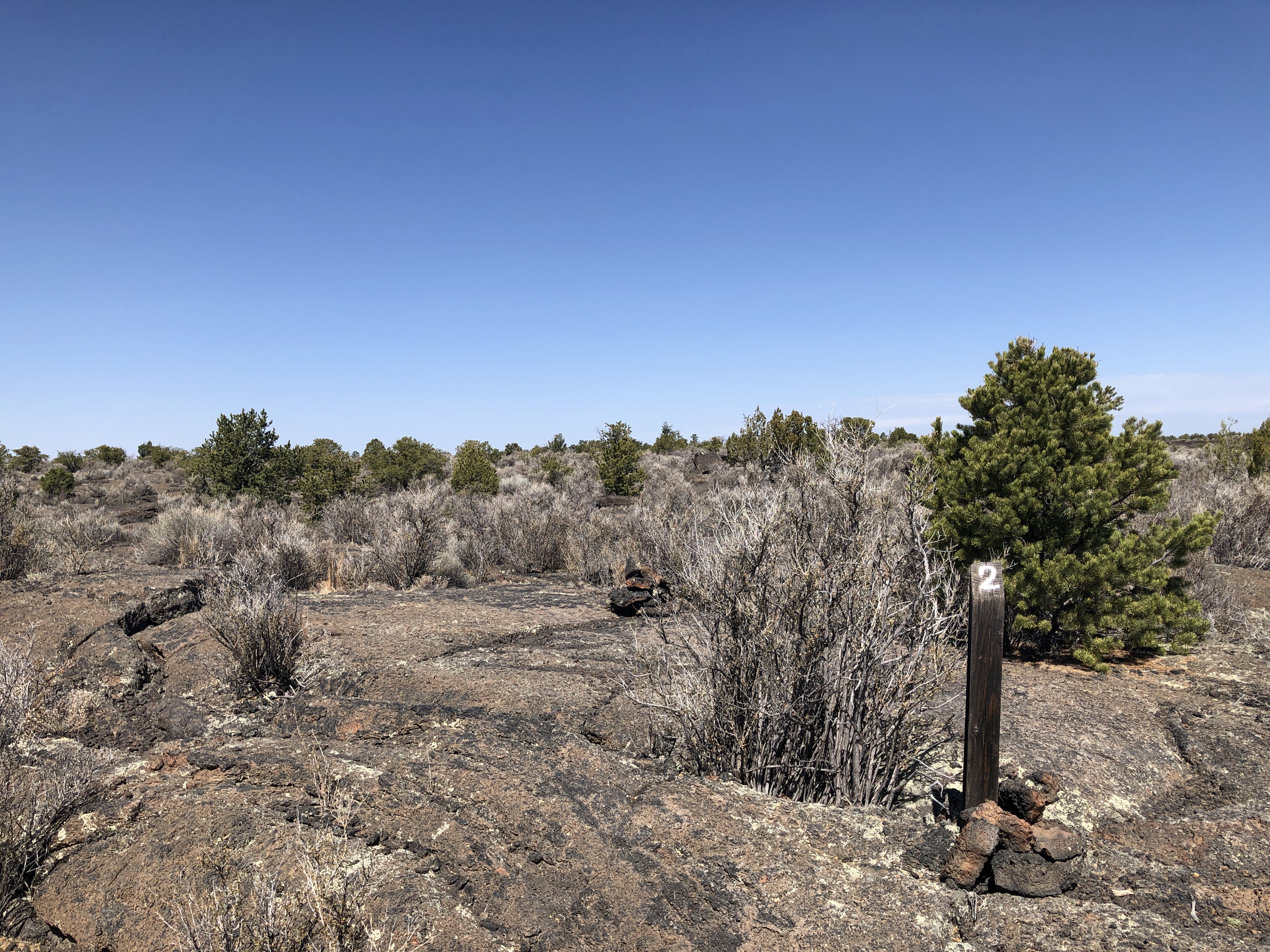 Lava Falls Trail Stop #2Hiking0.3 mi
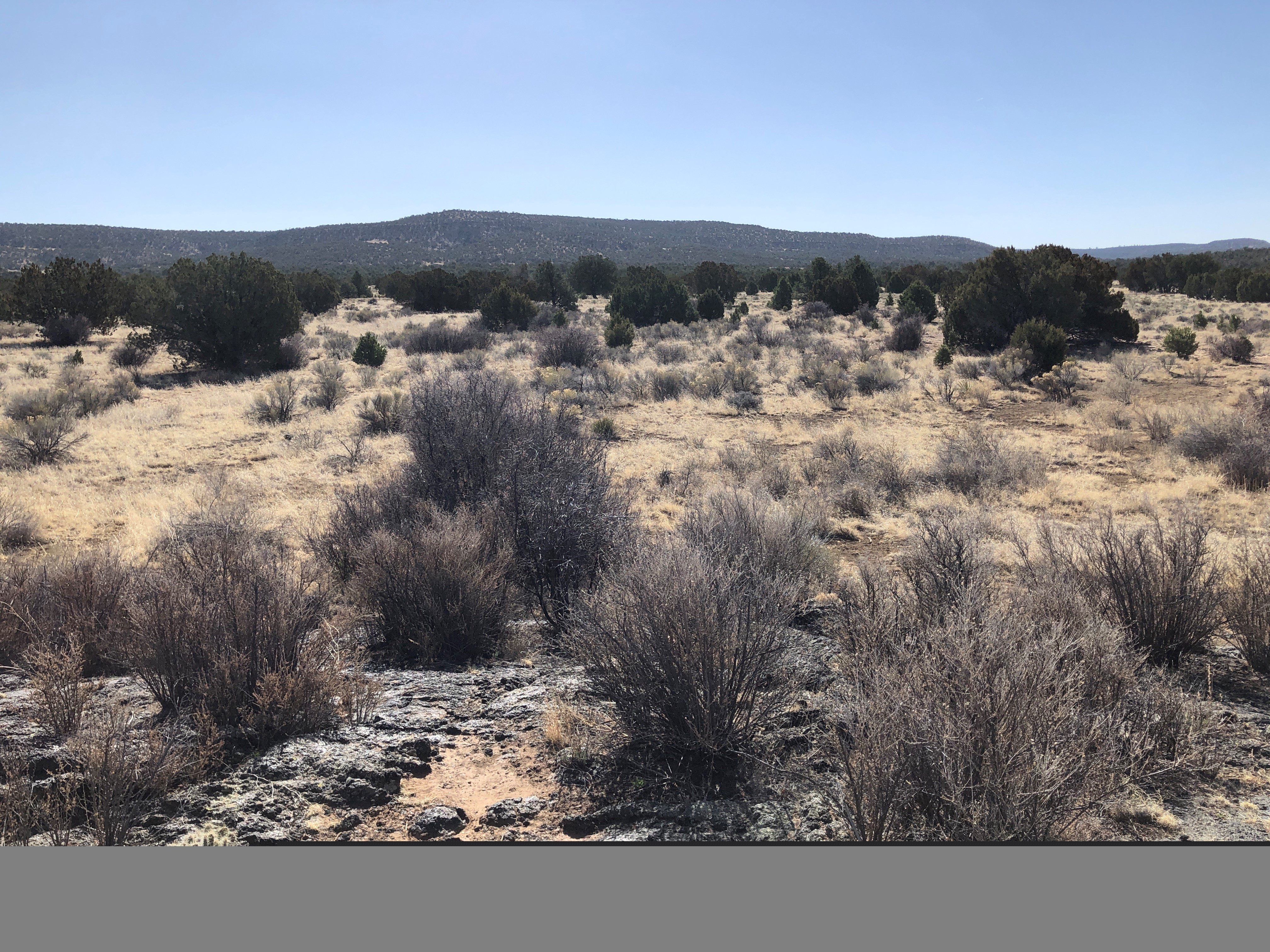 Lava Falls Trail Stop #9Hiking0.3 mi
 Lava Falls Trail Stop #1Hiking0.3 mi
Source: Roamze catalog (indexable pages within 10 miles, PostGIS distance)
- Lava Falls Trail Stop #5Hiking · Next door
 Lava Falls Trail (cairned)Hiking · Next doorPhoto: dconvertini, CC BY-SA 2.0 (via Flickr)
 Cdt JkgccHiking · ~10 min drivePhoto: unknown goverment employee, Public domain (via Wikimedia Commons)
 The Narrows Rim TrailHiking · ~18 min drivePhoto: RuggyBearLA, CC BY-SA 2.0 (via Flickr)
- Lava Falls Trail Stop #7Hiking · Next door
- Armijo Canyon RoadHiking · ~10 min drivePhoto: unknown goverment employee, Public domain (via Wikimedia Commons)
 CdtHiking · ~6 min drivePhoto: Ken Lund from Reno, Nevada, USA, CC BY-SA 2.0 (via Wikimedia Commons)
- El Malpais RoadHiking · ~7 min drive
- Lava Falls Trail Stop #4Hiking · Next door
- Cdt-Alt Ley BushwhackHiking · ~18 min drivePhoto: RuggyBearLA, CC BY-SA 2.0 (via Flickr)
Best time to visit Lava Falls Trail Stop #6
Best months: April–October. Best months have typical highs of 55–85 °F, lows of 30 °F or warmer (32 °F where the station doesn't record snow), at most one snowy day and no more than 12 wet days.
Jan
43° / 20°
5 wet
Feb
47° / 23°
5 wet
Mar
56° / 27°
5 wet
Apr
64° / 33°
3 wet
May
73° / 41°
4 wet
Jun
83° / 50°
5 wet
Jul
83° / 53°
11 wet
Aug
80° / 52°
12 wet
Sep
75° / 46°
7 wet
Oct
64° / 37°
5 wet
Nov
52° / 27°
4 wet
Dec
43° / 20°
5 wet
Typical high / low (°F) and days with rain or snow, 1991–2020. Measured at Pietown 19ne, NM, 17.7 mi away at 7,961 ft. The station sits about 900 ft higher than this place, so expect it a little warmer here. This station doesn't record snowfall. Source: NOAA NCEI U.S. Climate Normals 1991–2020.

